A Strategic Collaboration for Geospatial Intelligence
On December 11, 2024, Maxar Intelligence, a global leader in high-resolution imaging and AI-powered geospatial solutions, announced a groundbreaking partnership with Satellogic, a company known for its innovative and cost-efficient Earth observation satellite constellation. This collaboration aims to address the increasing demand for timely, actionable insights in the geospatial intelligence market.
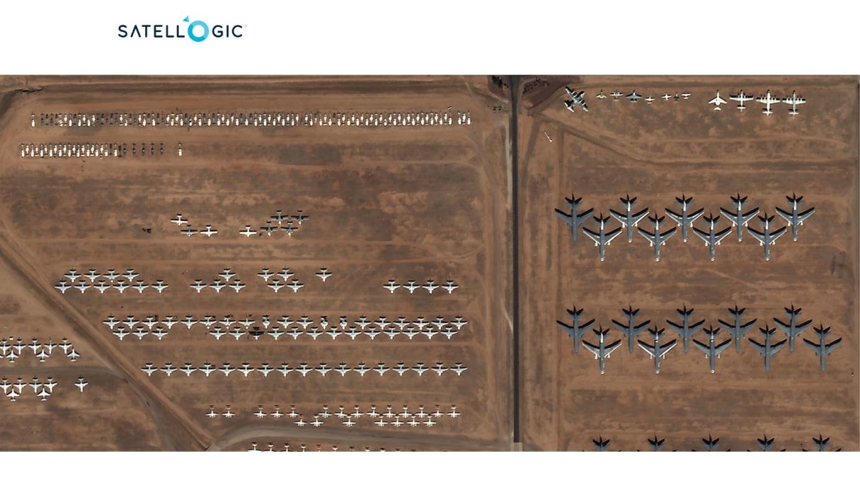
Maxar has built its reputation by delivering ultra-detailed 30 cm-class satellite imagery, supporting critical missions in defense, navigation, and disaster response. Satellogic complements this with its scalable constellation of satellites, designed to provide frequent, lower-resolution imagery, making this partnership a perfect synergy of precision and coverage.
How the Partnership Works
Under the agreement, Maxar gains exclusive rights to task, collect, and distribute imagery from Satellogic’s growing satellite constellation. This collaboration creates a two-stage intelligence workflow:
- Satellogic's frequent imagery: Enables dynamic monitoring of large areas to identify changes or potential threats.
- Maxar's high-resolution imaging: Provides detailed analysis of areas of interest, delivering actionable insights with unparalleled clarity, using its WorldView Legion satellites.
The exclusive partnership focuses on serving the U.S. government and selected international allies, addressing national security missions with a new level of operational efficiency.
Innovative Virtual Constellation Approach
Maxar’s integration of Satellogic’s data into its “virtual constellation” framework expands its ability to deliver flexible, cost-efficient geospatial solutions. This framework incorporates imagery from various sources, including radar data providers like Umbra, enabling analysts to monitor changes across multiple locations in near real-time. By combining frequent revisit capabilities with ultra-high resolution imagery, this approach ensures the optimal balance of coverage and detail.
Benefits for National Security and Beyond
For national security agencies, the partnership provides a decisive edge in managing dynamic, time-sensitive scenarios. The ability to combine Satellogic’s high-frequency monitoring with Maxar’s precision imaging enhances situational awareness across vast areas. Key use cases include:
- Military Operations: Improved intelligence for decision-making in dynamic environments.
- Disaster Response: Rapid detection of affected areas for effective aid deployment.
- Infrastructure Monitoring: Enhanced tracking of critical assets to ensure resilience.
The synergy of Maxar and Satellogic’s capabilities represents a leap forward in providing actionable geospatial intelligence for governments and organizations operating in an increasingly complex global landscape.
A Trend Toward Collaboration
While financial details of the agreement remain undisclosed, this partnership underscores a growing trend in the Earth observation industry: collaboration over competition. By integrating complementary technologies, Maxar and Satellogic are better positioned to meet evolving customer needs while expanding into new markets.
For Satellogic, this partnership opens doors to the U.S. and global markets through Maxar’s established distribution channels. For Maxar, the agreement reinforces its leadership in the geospatial intelligence industry, leveraging Satellogic’s high-revisit capabilities to offer unmatched solutions.
Conclusion: Transforming Geospatial Intelligence
The partnership between Maxar and Satellogic marks a pivotal moment for the Earth observation market. It not only strengthens their respective positions but also sets a new standard for collaboration in the industry. Together, they are poised to provide governments and organizations with the insights needed to navigate a rapidly changing world.


