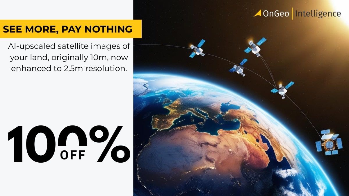
🌍 Capture the world at 100% OFF! Use code ongeo100on 10 meters satellite image resolutions – limited time only! Higher resolution satellite images remain subject to payment.
🌍 Capture the world at 100% OFF! Use code ongeo100on 10 meters satellite image resolutions – limited time only! Higher resolution satellite images remain subject to payment.
Free Satellite Imagery Providers: Compare and Choose the Best Option
2025-04-23
(Article updated:
2025-04-23
)
~ 5 min
Satellite imagery has become an indispensable tool across various fields, from agriculture and urban planning to environmental monitoring and journalism. While high-resolution satellite data can often be expensive, there are numerous free satellite imagery providers offering valuable datasets for public use. In this article, we’ll explore the best platforms for obtaining free satellite data, compare their features, and introduce you to OnGeo Intelligence, a service that takes satellite imagery accessibility to the next level with its innovative Satellite Imagery Report.
High-Quality Satellite Imagery, Hassle-Free
Explore any location on Earth with precision. Order a detailed Satellite Imagery Report—no sign-ups, no contracts. Delivered in a clear PDF for instant insights.
If you're looking to leverage satellite data without the high cost of commercial imagery, you have several excellent options. Understanding the strengths and weaknesses of each platform is key to finding the right data for your project. Below, we explore the leading free satellite imagery providers.
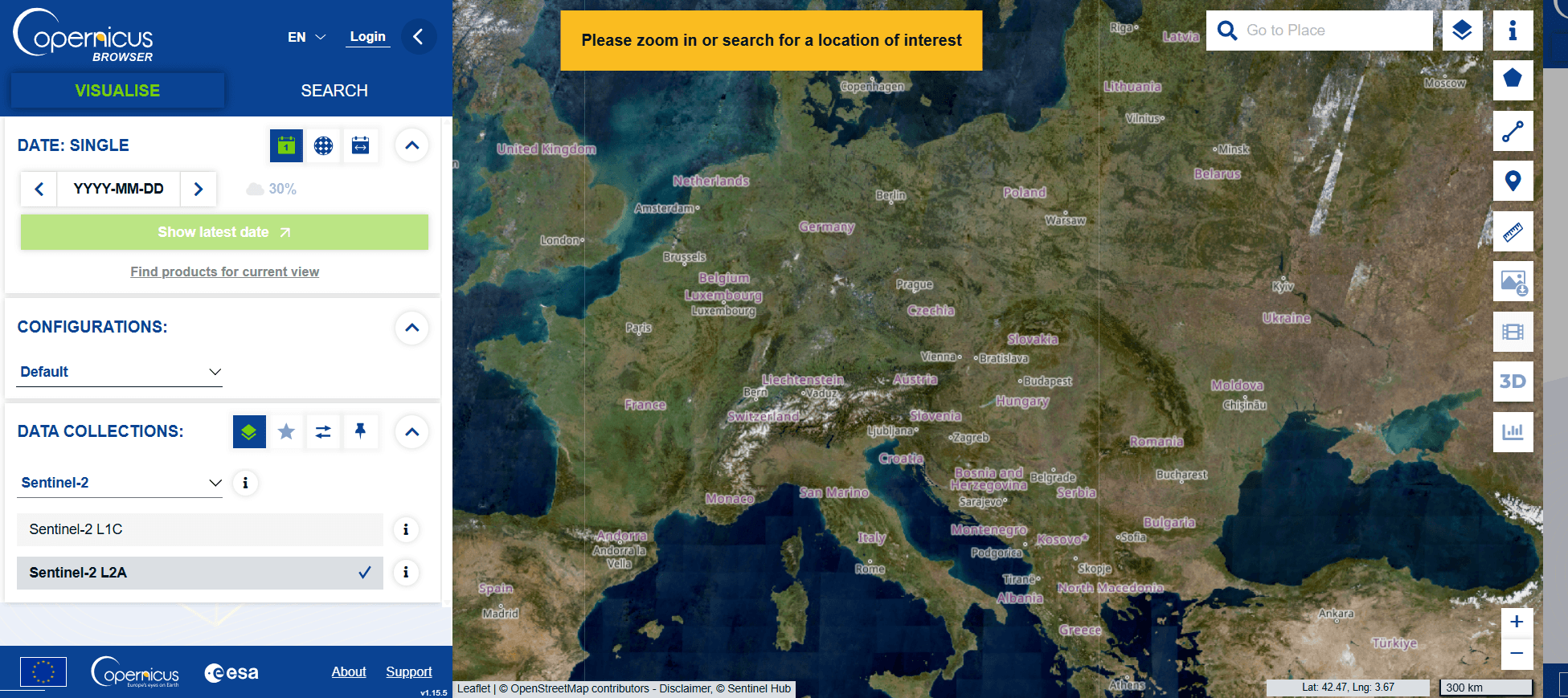
1. Sentinel Hub
Sentinel Hub, part of the Copernicus program operated by the European Space Agency (ESA), is one of the most popular platforms for accessing free satellite imagery.
Historical imagery feature allows users to view changes over time.
Easy-to-use desktop application with global coverage.
Pros:
Perfect for hobbyists or basic visualization needs.
No account registration required for non-commercial use.
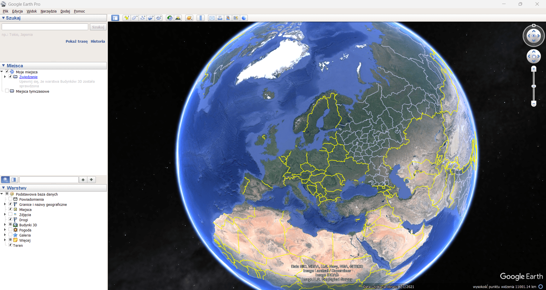
Google Earth Pro with easy navigation and historical imagery, ideal for exploration.
Cons:
Limited resolution compared to other platforms (not suitable for detailed analysis).
How OnGeo Intelligence compares?
While these platforms provide excellent resources, they often require technical expertise or manual effort to extract meaningful insights from raw data. This is where OnGeo Intelligence stands out as an accessible alternative that simplifies satellite imagery access through its user-friendly Satellite Imagery Report service.
Example screenshot Satellite Imagery Report Ongeo Intelligence
This is where OnGeo Intelligence stands out. We simplify the entire process through our user-friendly Satellite Imagery Report service:
Mobile-friendly access: Order reports directly from your smartphone—no need for specialized software or subscriptions.
Free access with code ongeo100: Generate reports at no cost featuring 10-meter resolution images enhanced to 2.5 meters using AI technology.
High-Resolution options: Paid reports offer resolutions up to 0.3 meters, ideal for detailed applications like construction monitoring or legal disputes.
Clear reports in PDF format: Receive organized files with chronological scenes for easy tracking of changes.
Global coverage: Access satellite images for any location worldwide.
Source data included: Download georeferenced data packages compatible with GIS software.
Why choose OnGeo Intelligence over traditional free sources?
OnGeo Intelligence is designed for users who need actionable insights without the hassle:
Simplified ordering
AI-enhanced clarity
Ready-to-use reports
Time & cost efficiency
How to get started with OnGeo Intelligence (and use special code ongeo100)
Follow these simple steps to generate your free report:
Visit [OnGeo Intelligence Website Link].
Use the interactive map on the order form to select your area of interest and specify your desired date range.
Browse the available scenes (the platform checks multiple sources). Add desired 10m resolution scenes to your cart.
Apply code ongeo100 during checkout.
Receive your AI-enhanced Satellite Imagery Report via email in minutes!
Choose the best option for your needs
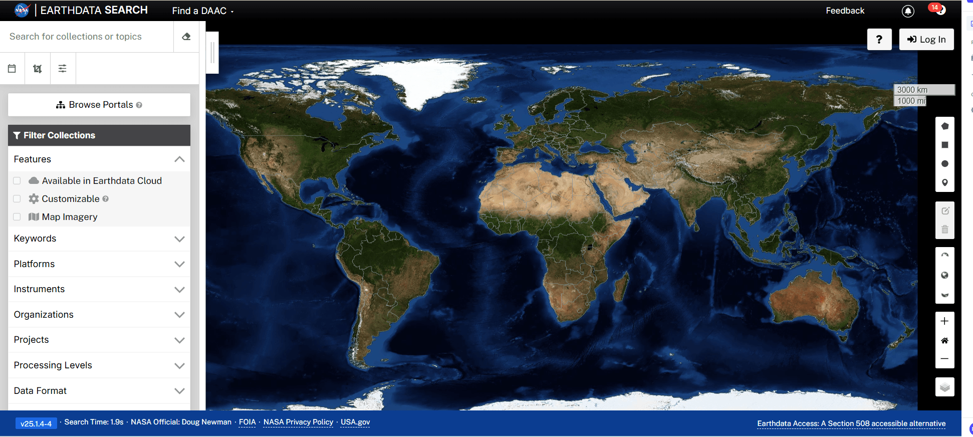
Whether you’re a researcher, landowner, journalist, or sim/ply curious about exploring Earth from above, there’s a free satellite imagery provider suited to your needs. While platforms like Sentinel Hub and NASA Earthdata Search are excellent resources for raw data, OnGeo Intelligenceoffers unparalleled convenience with its ready-to-use reports.
We use cookies to run our website, analyze your use of our services, manage your online preferences & personalize ad content. By accepting our cookies, you'll get relevant content and social media features, personalized ads, and an enhanced browsing experience. To manage your choices, click "Cookie Settings." Necessary cookies are required for the core website functionality and cannot be rejected. For more information, see our Cookie Policy.
About cookies on this site
Cookies used on the site are categorized. Below you can allow or deny some or all of them, except for Necessary Cookies which are required to provide core website functionality. When categories that have been previously allowed are disabled, all cookies assigned to that category will be removed from your browser.
Some cookies are required to provide core functionality. The website won't function properly without these cookies and they are enabled by default and cannot be disabled.
Preference cookies enables the web site to remember information to customize how the web site looks or behaves for each user. This may include storing selected currency, region, language or color theme.
Analytical cookies help us improve our website by collecting and reporting information on its usage.
Marketing cookies are used to track visitors across websites to allow publishers to display relevant and engaging advertisements. By enabling marketing cookies, you grant permission for personalized advertising across various platforms.
The cookies in this category have not yet been categorized and the purpose may be unknown at this time.