Satellite Imagery Report
Below is the generated satellite imagery report for this area. Download the document in your preferred quality or create your own custom report for any location worldwide.
Want to check a different area or plot of land? Easily obtain current and historical satellite imagery for any location in the world.
Generate Your Own Report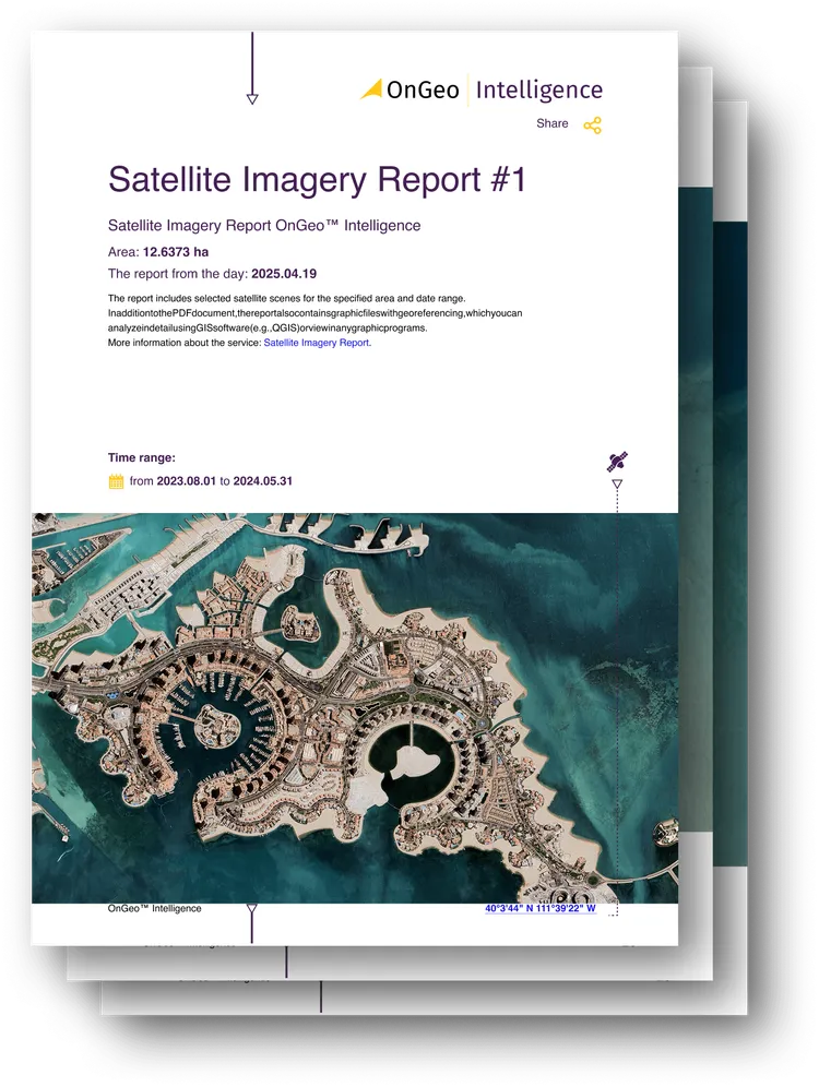
Professional Earth Observation Data - Accessible to Everyone
The Satellite Imagery Report by OnGeo™ Intelligence removes the complexity and high costs traditionally associated with remote sensing.
You don’t need GIS expertise or specialized desktop software. Simply select an address, enter coordinates, or draw your area of interest on an interactive map. Our automated platform scans leading satellite constellations and compiles a comprehensive, ready-to-use PDF document featuring the highest available resolution images.
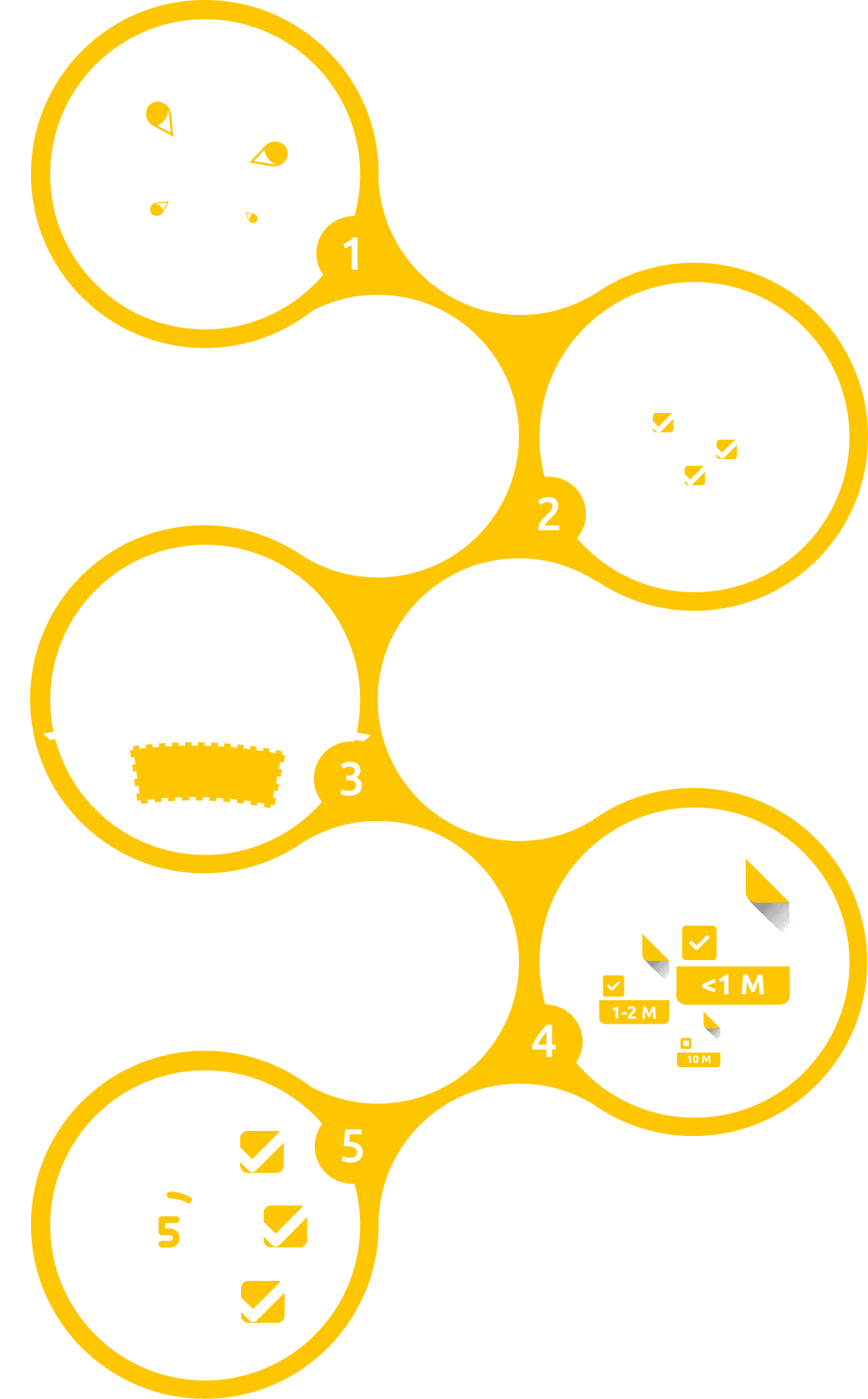
Get Your Satellite Report in 5 Simple Steps
Step 1: Go to Satellite Imagery Order Form
Step 2: Choose Your Timeframe
Need the most recent capture or a historical timeline to monitor changes over time? Pick the date range that fits your project.
Step 3: Select Any Location Worldwide
Enter an address, GPS coordinates, or outline the boundaries directly on the interactive map.
Step 4: Choose Available Imagery
Browse the satellite scenes available for your area and date range, preview them as thumbnails and select the ones you want in your report.
Step 5: Download Your PDF Report
Receive a PDF report with your selected imagery, scale indicators and metadata. Reports with low-resolution imagery are ready within minutes. High-resolution imagery may take up to 48 hours.
One Comprehensive Report - Countless Applications

High-resolution precision
Access detailed satellite imagery (0.3m-2m resolution) perfect for critical analysis and monitoring applications.

Mobile-friendly access
Order, view, and manage your satellite reports conveniently directly from your smartphone, anywhere you are.

No sign-up or contracts
Get the satellite imagery you need easily with no subscriptions or contracts – just a quick, straightforward purchase.

Imagery delivered fast
Receive low-resolution views in just minutes and detailed high-resolution data typically within 48 hours.

AI-enhanced clarity
Benefit from sharper visuals as our AI technology enhances image clarity, even for lower-resolution data.

Global coverage, diverse sources
Analyze virtually any location using data sourced from both leading commercial and non-commercial satellite constellations.
Ready to inspect your area from orbit?
Try OnGeo Intelligence today and unlock actionable satellite insights for your parcel, project, or research area.
Download your Satellite Report