Empower your decisions with Satellite Imagery and Location Intelligence
Get clear insights on any location using OnGeo™ Satellite Imagery Report
Order a Satellite Imagery Report


How to get Your Satellite Imagery Report OnGeo™ Intelligence
- Select a desired period and indicate the location on the map.
- Within minutes, we search for archives of satellite data and return a list of available cloudless images.
- Select the desired images and order the Report and Data Package.
- Wait a couple minutes for an email with a link to the report.

From 12.99 USD per single report
Get simple satellite reports with original data, presented in a clear, ready-to-view PDF – accessible to everyone, no tech skills or special apps needed.
Get low-res satellite imagery in minutes, high-res within 48 hours.
Monitor changes on your land with up-to-date, cloudless high-resolution satellite images.
Verify land changes quickly and easily with OnGeo™ Intelligence.

High-resolution precision
Access detailed satellite imagery (0.3m-2m resolution) perfect for critical analysis and monitoring applications.

Mobile-friendly access
Order, view, and manage your satellite reports conveniently directly from your smartphone, anywhere you are.

No sign-up or contracts
Get the satellite imagery you need easily with no subscriptions or contracts – just a quick, straightforward purchase.

Imagery delivered fast
Receive low-resolution views in just minutes and detailed high-resolution data typically within 48 hours.

AI-enhanced clarity
Benefit from sharper visuals as our AI technology enhances image clarity, even for lower-resolution data.

Global coverage, diverse sources
Analyze virtually any location using data sourced from both leading commercial and non-commercial satellite constellations.
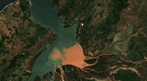
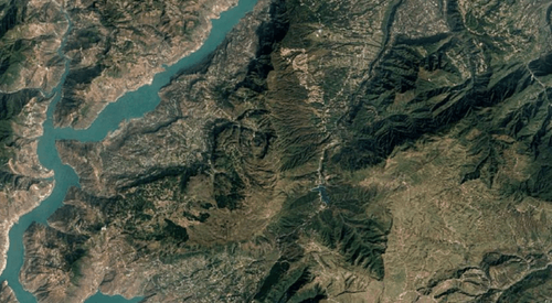
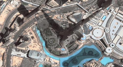
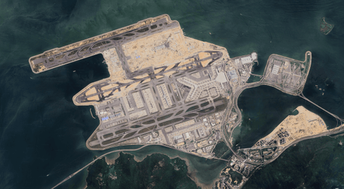
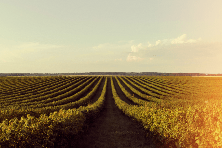
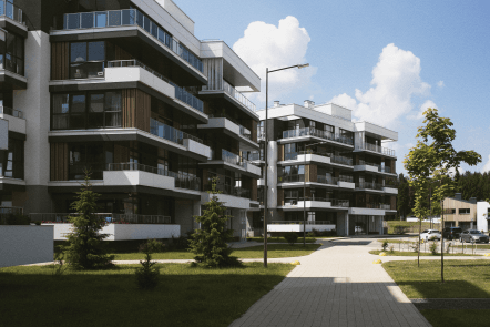
Satellite Imagery Use Cases
Example applications of the Satellite Imagery Report OnGeo™ Intelligence


What our clients say about satellite data?
A complete guide to satellite imagery
Here you will find answers to frequently asked questions, so you can fully benefit from our services.
Learn more about Satellite Imagery ReportResolution determines the level of detail in the image.
- Low Resolution (e.g., 10m Sentinel-2): Good for analyzing large areas like crop fields, forests, or general land cover changes. You won't see details like individual cars or small buildings.
- High Resolution (VHR - from 2m down to 0.3m): Necessary for identifying details such as specific buildings, vehicles, construction progress, or precise property boundaries. We recommend 0.5m or 0.3m for the highest precision.
Important: Always use the image preview feature during selection to assess if the quality meets your expectations for your specific area.
The best way is to carefully check the image preview for clouds before placing your order. Our platform allows you to preview available scenes. Since we purchase the selected image from the satellite operator immediately upon your order, we cannot offer refunds or replacements if you choose and purchase a cloud-covered or unclear image. Please use the preview feature diligently.
No. Our service is designed for simplicity and accessibility. You do not need to create an account, sign any contracts, or commit to a subscription. You simply pay for the specific report you need, when you need it.
Absolutely not. The Satellite Imagery Report itself is delivered in the common PDF format. You only need a standard PDF reader (like Adobe Acrobat Reader, or even your web browser) to open and view it. Furthermore, you can conveniently order and view the reports even on your mobile phone. GIS software is only required if you intend to work with the Sentinel-2 data package.
Your order is delivered via email and consists of three parts:
- The PDF Report: A user-friendly document presenting chronologically ordered Natural Color (RGB) satellite scenes
- Remote sensing indices: NDVI, NDWI, NDMI,
- The Sentinel-2 Data Package: A ZIP archive containing georeferenced files from Sentinel-2, ready for use in analysis or GIS software.
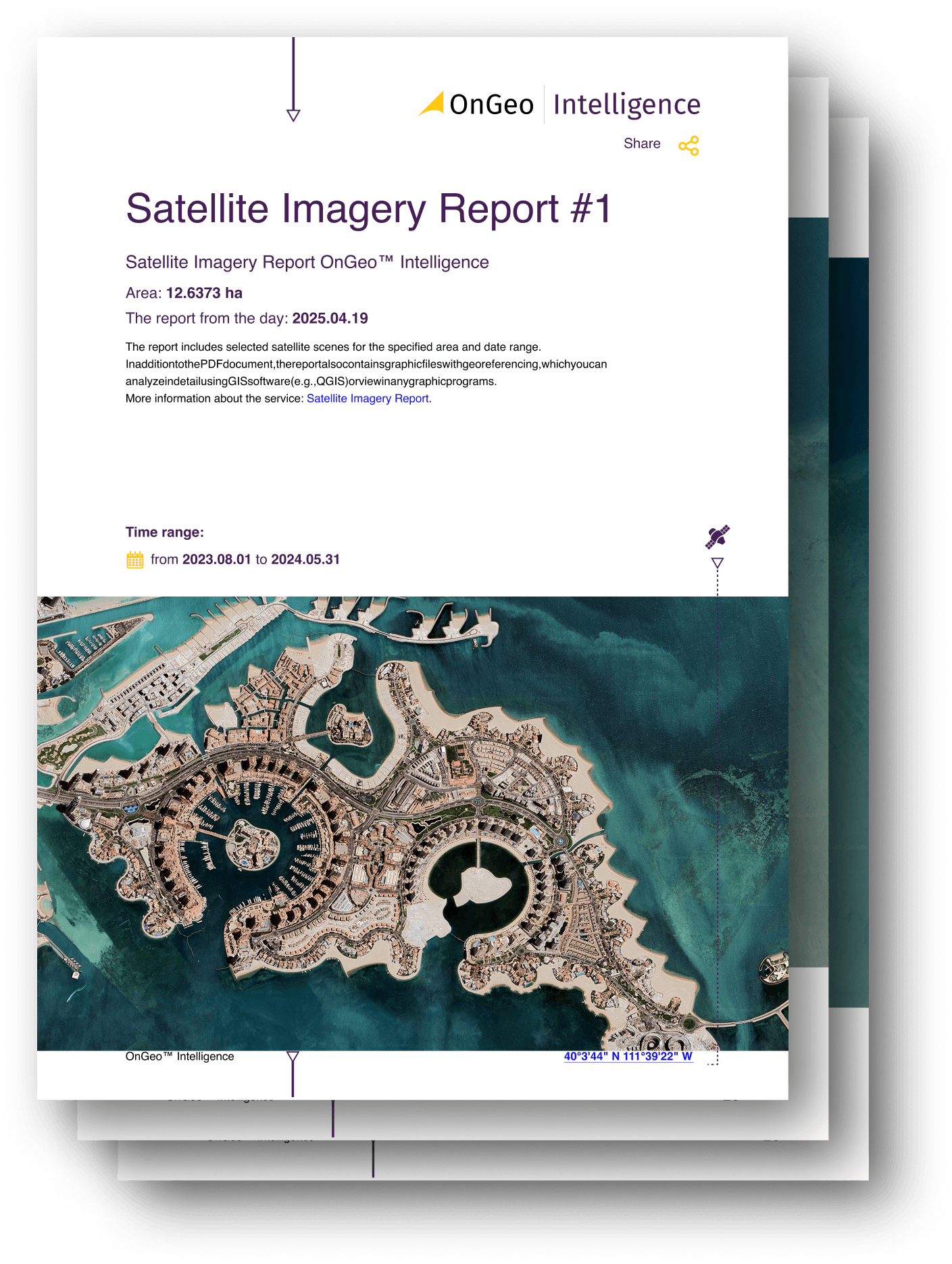
See an example report: Sample Satellite Imagery Report | OnGeo Intelligence.
Yes, our service offers global coverage, allowing you to order imagery for virtually any location on Earth. However, availability depends on whether satellite images exist in the archives for your specific area of interest and chosen date range. Our platform searches these archives when you define your request.