How to get free satellite images on your phone
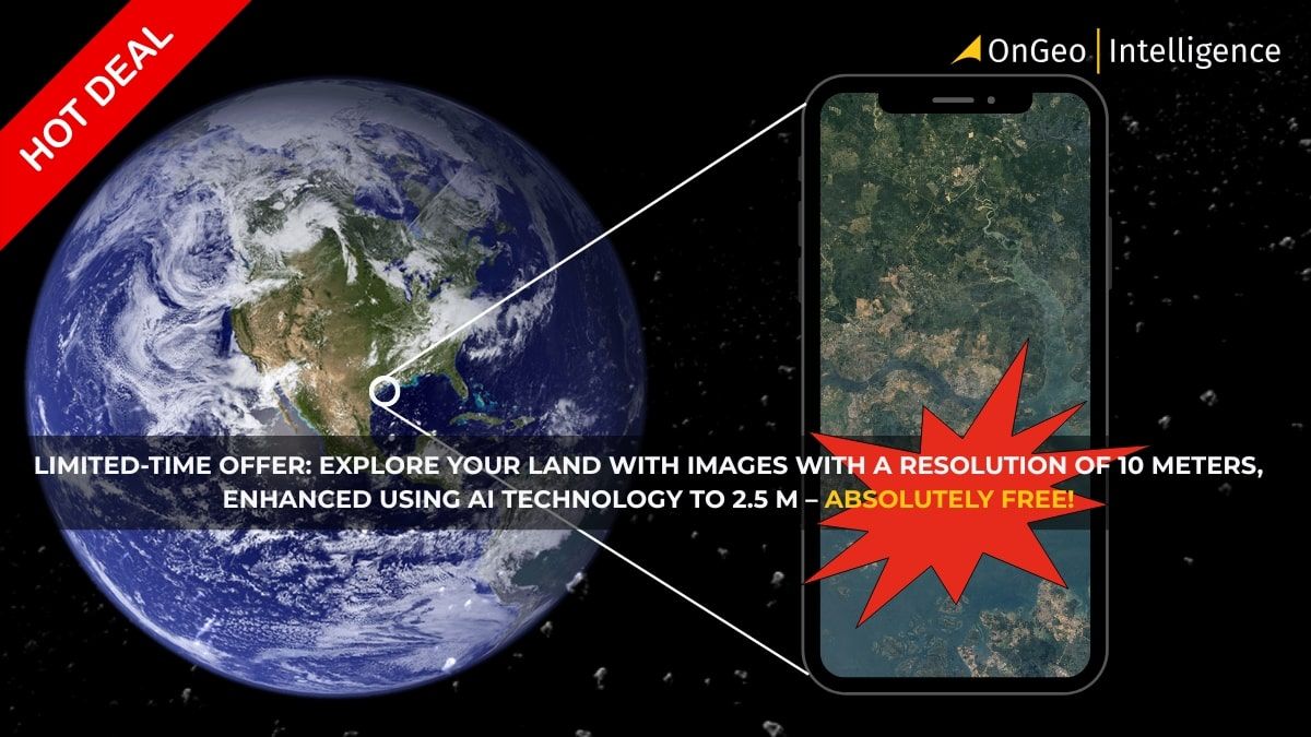
Satellite imagery has become an essential tool in modern life, offering insights that were once exclusive to experts. Now, with OnGeo Intelligence, you can access free satellite images directly from your smartphone, making it easier than ever to monitor properties, analyze land, or explore the world from above. By using the special code, you can generate a free satellite images on phone featuring 10-meter resolution images (enhanced to 2.5 meters) and experience the power of satellite data firsthand.
The Satellite Imagery Report: Delivered to Your Phone
OnGeo Intelligence is a cutting-edge platform specifically designed to make satellite imagery accessible to everyone, anywhere, directly on their phone. We bridge the gap between complex satellite technology and everyday users. Our platform is built for seamless mobile use.
Our service delivers detailed satellite photos for any location on Earth in an easy-to-read PDF Satellite Imagery Report. This format is perfect for viewing and analyzing directly on your phone, providing instant insights without needing a computer.
Your free Satellite Report code: ongeo100
Generate reports at no cost during this promotion period with 10-meter resolution images enhanced using AI technology to 2.5 meters.
Benefits of using OnGeo Intelligence
- Convenience: Order and manage reports entirely from your phone - perfect for users on the go.
- Free Access: Generate reports using free 10m resolution satellite images (AI-enhanced to 2.5m) on your phone at no cost with the code 'ongeo100.' High-resolution satellite images remain a paid service.
- High-Resolution Precision: For detailed analysis, paid options offer resolutions up to 0.3 meters.
- Fast Delivery: Receive low-resolution reports in minutes; high-resolution data is delivered within 48 hours.
- Versatile Applications: Ideal for property monitoring, crop analysis, environmental observation, legal disputes, and more.
See more
To see what the Satellite Imagery Report looks like, check out this: Sample Report.
Get more information: Satellite Imagery Report.
How to get free satellite images on phone using code?
With OnGeo Intelligence, generating free satellite imagery reports is quick and hassle-free. Follow these steps:
- Visit the OnGeo Platform: Open OnGeo Intelligence on your smartphone or desktop browser.
- Select location and time period: Choose the area you want to analyze and specify the date range.
- Search archives: The system automatically locates satellite images available for your selected area and period.
- Add images to your cart: Browse through available scenes and add them to your cart - all from your smartphone screen.
- Apply code: Enter the code ongeo100 to unlock free access to free satellite photos 10-meter resolution (enhanced to 2.5 meters).
- Receive your report: Get a PDF report sent directly to your email within minutes for low-resolution images (10 m). High-resolution reports are delivered within 48 hours if purchased.
Watch how easy it is on mobile
Try It Now!
Use code ongeo100 today and unlock professional-grade satellite imagery reports instantly - right from your smartphone.
Generate your free report now
Frequently Asked Questions (FAQ)
What does the code "ongeo100" provide?
The code grants access to free satellite images on phone featuring 10-meter resolution images enhanced using AI technology.
Can I order reports from my phone?
Absolutely! The platform is fully mobile-friendly, allowing you to order and receive reports directly from your smartphone.
How long does it take to receive my report?
Low-resolution reports are delivered within minutes; high-resolution reports may take up to 48 hours if purchased.