Sentinel-1D Set for Launch Aboard Ariane 6 on November 4 to Strengthen Europe’s EO Capabilities
Europe’s newest Earth Observation radar satellite, Sentinel-1D, will be launched on November 4, 2025, from Kourou aboard the Ariane 6 rocket to ensure data continuity for the Copernicus Programme.
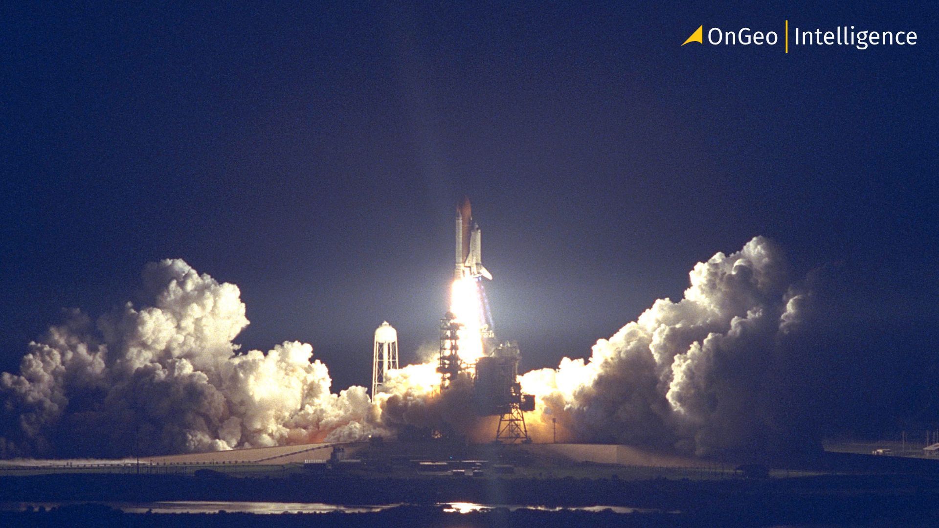
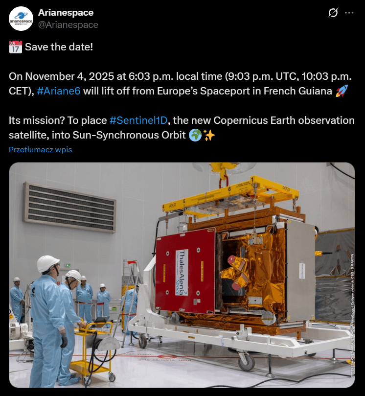
The European Union’s Copernicus Sentinel-1D satellite is scheduled for launch on November 4, 2025, at 18:03 local time in Kourou, French Guiana (22:03 CET). The mission, designated VA265, will mark the third commercial flight of Ariane 6, Europe’s new heavy-lift launcher developed for autonomous access to space. The launch will be carried out by Arianespace under a contract with the European Space Agency (ESA).
Mission Profile and Orbit Details
Sentinel-1D will be delivered to a Sun-Synchronous Orbit (SSO) at an altitude of approximately 693 km, with satellite separation expected 34 minutes after liftoff. Once in orbit, the spacecraft will undergo a commissioning phase before beginning full operations.
Built by Thales Alenia Space, a joint venture between Thales (67%) and Leonardo (33%), Sentinel-1D is the seventh Sentinel satellite launched by Arianespace and the 109th spacecraft built by Thales Alenia to be placed into orbit by the launch provider.
Technological Capabilities
The satellite is equipped with a C-band Synthetic Aperture Radar (SAR), enabling all-weather, day-and-night Earth surface imaging. It also includes a Galileo-enabled GNSS receiver for enhanced in-orbit positioning and an Automatic Identification System (AIS) payload to track maritime vessel signals. New European radar satellite will enable high revisit frequency, especially when paired with its operational sibling Sentinel-1C, launched in December 2024.
Mission Continuity and Constellation Synergy
Sentinel-1D ensures the continuity of radar imaging services as Sentinel-1A, launched in 2014, nears the end of its lifespan. Operating as a two-satellite constellation, Sentinel-1C and Sentinel-1D will offer 6-day revisit cycles globally, with revisit times under 1 day at high latitudes.
The satellite plays a key role in land and ocean monitoring, delivering essential data for:
- Sea ice tracking and iceberg drift monitoring
- Oil spill detection
- Flood and disaster response
- Soil moisture and land use change analysis
- Subsidence and ground motion detection (e.g. landslides, earthquakes)
Its data feed directly into Copernicus services like the Emergency Management Service (CEMS), Marine Service (CMEMS), Land Monitoring Service (CLMS) and the European Ground Motion Service (EGMS).
Strategic Importance for Europe
The Sentinel-1 mission is the backbone of Copernicus radar EO, providing free, open and continuous satellite data to public authorities, industries, scientists and citizens. Sentinel-1D is designed to support these efforts well into the 2030s, reinforcing Europe’s leadership in Earth observation and its strategic space autonomy.
Ariane 6 and Sustainable Launch Practices
Ariane 6’s role in this mission also highlights its sustainability credentials. Its upper stage is capable of controlled deorbiting, helping reduce space debris. The rocket’s components are transported using Canopée, a wind-powered hybrid ship, reducing emissions during logistics.
With over 10% of Arianespace’s launches dedicated to Earth observation, mission VA265 further emphasizes the importance of space technology for a more resilient and climate-aware future.
Try it for free today!
Ready to experience the power of satellite data for yourself? We’re inviting you to test the waters with a free Satellite Imagery Report featuring 10-meter resolution imagery. Simply use the discount code ongeo100 at checkout. Please note that while this introductory offer lets you explore satellite data at no cost, high-resolution images (up to 0.3 m) remain part of our premium offering.
Looking Ahead — The Future of Copernicus and Sentinel Missions
As Sentinel-1D prepares to join Europe’s growing constellation of Earth observation satellites, attention is already turning to the next generation of the Copernicus programme. Future Sentinel missions will integrate advanced radar, optical, and hyperspectral instruments to provide even higher resolution, faster data delivery, and improved climate modeling capabilities. These developments will support Europe’s Green Deal objectives, improve disaster resilience, and enable new commercial applications in precision agriculture, renewable energy monitoring, and environmental protection. Sentinel-1D thus not only continues a legacy — it sets the stage for a more connected, data-driven understanding of our planet.