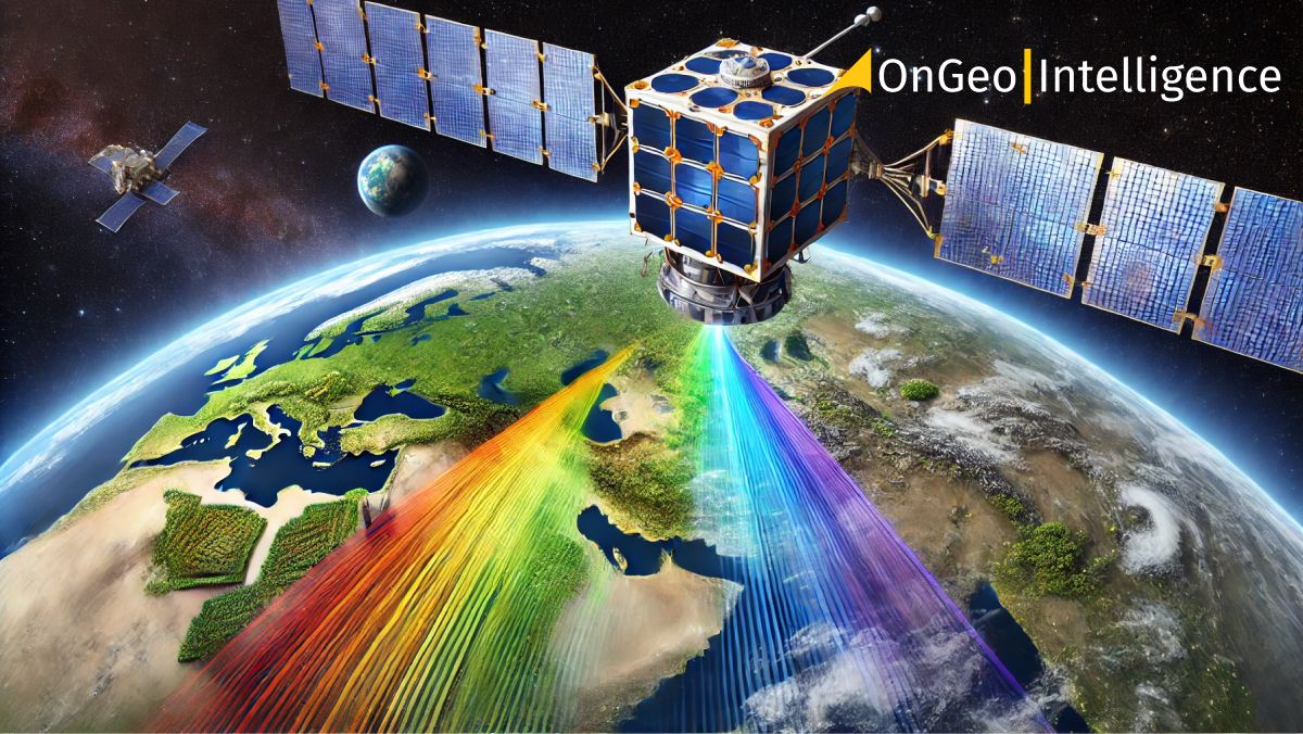
What is hyperspectral satellite earth observation (EO)?
Hyperspectral imaging (HSI) is a technique that divides the electromagnetic spectrum into many contiguous, narrow spectral bands. Unlike traditional optical imagers, which capture light in the red, green, and blue (RGB) bands, or even multispectral sensors that capture data in up to 36 broad spectral bands, hyperspectral sensors capture data in hundreds of narrow bands. This allows them to create a detailed spectral “fingerprint” for each pixel in an image, offering insights into the physical and chemical composition of surface materials.
These hyperspectral sensors, when deployed on satellites, scan the Earth from orbit and capture data across the visible, near-infrared (NIR), short-wave infrared (SWIR), and even thermal infrared (TIR) regions of the spectrum. The result is a three-dimensional data cube known as a "spectral cube," where the two spatial dimensions represent the image’s spatial resolution and the third dimension contains information about the spectral reflectance of each pixel. This high spectral resolution allows for the identification of unique spectral signatures that correspond to specific materials or substances on the Earth's surface.
Satellite Imagery Report OnGeo™ Intelligence
Discover the power of satellite data with OnGeo Intelligence. Our Satellite Imagery Reports provide high-resolution images of any location, delivered quickly and hassle-free. No sign-ups or contracts—just precise, reliable data in a user-friendly PDF. Perfect for professionals in environmental monitoring, land use, and more. Explore our service today!
How does hyperspectral satellite imaging work?
Hyperspectral imaging sensors onboard satellites work by capturing light reflected from the Earth’s surface across a wide range of spectral bands. As the satellite moves along its orbit, it scans across-track and collects light from a scene below. This data is split into hundreds of narrow spectral bands, creating a hyperspectral data cube, where each layer corresponds to a specific wavelength of light.
For each pixel in the image, a spectrum is recorded, detailing how that point on the Earth reflects light at different wavelengths. This reflectance data can then be analyzed and compared to known spectral libraries, such as the United States Geological Survey (USGS) Spectral Library or Digital Earth Australia’s National Spectral Database (NSD), to identify materials or features present at each location. This capability makes hyperspectral imaging a powerful tool for a wide range of applications from environmental monitoring to mineral exploration.
Key hyperspectral satellite earth observation missions
Several hyperspectral satellite missions have been launched by governmental agencies and private companies, contributing to the growing capacity for high-resolution spectral analysis from space. Notable missions include:
- NASA’s EO-1: Launched in 2000, this mission carried the Hyperion hyperspectral imager, capturing 220 spectral bands at a 30-meter spatial resolution. Hyperion was a pioneer in spaceborne hyperspectral imaging and demonstrated its value for applications such as vegetation health monitoring and mineral mapping.
- PRISMA (Hyperspectral Precursor and Application Mission): Launched by the Italian Space Agency (ASI) in 2019, PRISMA observes 250 spectral bands with 30-meter spatial resolution. This mission supports environmental monitoring and resource management.
- EnMAP (Environmental Mapping and Analysis Program): A German minisatellite launched in 2022, EnMAP carries a hyperspectral sensor capable of observing 228 spectral bands, focusing on ecosystems and analyzing biophysical and biochemical variables in agriculture, forestry, and coastal environments.
Use cases of hyperspectral satellite imaging
Hyperspectral imaging has proven invaluable across a wide array of industries and research fields. Key applications include:
- Agriculture and vegetation monitoring: Hyperspectral imaging allows for precise monitoring of crop health, moisture levels, and nutrient content. Hyperspectral satellite imaging can detect early signs of stress in plants caused by disease, pests, or water shortages before they become visible to human eyes or multispectral sensors. This enables precision agriculture, optimizing irrigation, fertilization, and pest control.
- Mineral exploration: Hyperspectral imaging captures detailed spectral signatures of Earth's surface, identifying specific minerals and rock types. Hyperspectral satellite imaging has revolutionized mineral exploration by allowing companies to map valuable resources such as gold, copper, and lithium without the need for extensive ground surveys.
- Environmental monitoring: Hyperspectral imaging is ideal for assessing ecosystems, monitoring deforestation, and tracking land cover changes. In coastal regions, it can be used to monitor coral reef health and detect changes in water quality, such as algal blooms or pollution.
- Disaster response: During natural disasters like floods, wildfires, and hurricanes, hyperspectral sensors provide critical information about the extent of damage. They help identify burned areas in forests, map water contamination in flood zones, and assess soil moisture levels to predict landslide risks.
- Climate change and pollution monitoring: One of the most significant emerging applications of hyperspectral imaging is tracking greenhouse gas emissions, such as methane leaks from industrial facilities. Hyperspectral satellites can detect small emissions with high precision, providing data to mitigate climate impacts and support regulatory efforts.
Conclusion
Hyperspectral imaging is a revolutionary tool in satellite Earth Observation, offering unmatched precision in analyzing the chemical composition of Earth's surface. With missions like EO-1, PRISMA, and EnMAP leading the way, and private companies like Planet joining the race, hyperspectral satellite technology is poised to play a crucial role in tackling global challenges such as climate change, environmental conservation, and sustainable resource management.


