Logo of OnGeo™ Intelligence

Blog

Detecting asbestos roofs using satellite imagery
2024-11-06
~ 5 min
(Article updated: 2024-11-07)
Asbestos roofs, once a symbol of affordable and durable housing, have become a pressing public health issue worldwide. Today, scientists and policymakers are harnessing advanced satellite technology to identify and monitor these hazardous materials without setting foot on a single roof.
Types of earth observation satellites and their orbits.jpg
2024-10-28
~ 4 min
(Article updated: 2024-11-07)
Sun-synchronous orbit (SSO): optimal for environmental monitoring Sun-synchronous orbit (SSO) is a type of polar orbit where the satellite passes over the same spot on Earth at the same local solar time every day . This orbit typically has an altitude of 600 to 800 km and an inclination of 96 to 105 degrees. The satellite's path shifts slightly each day due to Earth’s rotation, allowing it to observe the entire planet over time.
Hyperspectral Imaging satellite
2024-10-16
~ 5 min
(Article updated: 2024-11-07)
What is hyperspectral satellite earth observation (EO)? Hyperspectral imaging (HSI) is a technique that divides the electromagnetic spectrum into many contiguous, narrow spectral bands. Unlike traditional optical imagers, which capture light in the red, green, and blue (RGB) bands, or even multispectral sensors that capture data in up to 36 broad spectral bands, hyperspectral sensors capture data in hundreds of narrow bands.
Gaza satellite image
2024-10-10
~ 2 min
(Article updated: 2024-11-07)
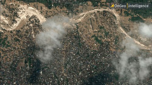
The role of satellite imagery in conflict zones Satellite imagery has proven crucial in assessing the scope of destruction in Gaza. Through the use of high-resolution Earth Observation technology, experts have been able to track and analyze damage across large areas, providing an accurate and unbiased perspective.
Maxar Technologies satellite imagery
2024-10-08
~ 4 min
(Article updated: 2024-11-07)
Maxar’s operational satellites Maxar operates a fleet of high-performance satellites that deliver imagery essential for intelligence, mapping, and monitoring applications worldwide. Here are the key operational satellites: WorldView-1 (Launched 2007) Capabilities : High-resolution panchromatic imagery Resolution: 50 cm panchromatic WorldView-2 (Launched 2009) Capabilities: High-resolution panchromatic and multispectral imagery Resolution: 46 cm panchromatic, 1.
2024-10-08
~ 3 min
(Article updated: 2024-11-07)
Although both constellations and clusters refer to groups of satellites, they serve different purposes. A satellite constellation refers to a network of satellites on similar orbits that collaborate to achieve a common goal, such as global communication or Earth observation. These satellites are strategically positioned to avoid overlapping coverage and interference.
Moon image OnGeo Intelligence
2024-09-30
~ 2 min
(Article updated: 2024-11-07)
Sentinel-2C Mission Overview Launched on September 5th, 2024, Sentinel-2C is part of the European Union's Copernicus Programme—an extensive network of Earth-observing satellites designed to monitor the environment, land use, and coastal waters. However, once a month, Sentinel-2C shifts its focus from Earth to the Moon for a "Moon calibration" procedure. This routine calibration is critical for ensuring the radiometric accuracy of the satellite's instruments.
Non-Earth imaging BlackSky
2024-09-24
~ 2 min
(Article updated: 2024-11-07)
BlackSky expands into space domain awareness through strategic partnership with hEO HEO specializes in NEI and space analytics . The newly established partnership integrates BlackSky’s satellite constellation into HEO’s sensor network. This collaboration enables capturing space objects data, especially over the middle latitudes of Earth, using previously unused satellite capacity when satellites are passing over oceans or during eclipse phases.
NIR Near Infrared OnGo Intelligence
2024-09-20
~ 5 min
(Article updated: 2024-11-07)
Near Infrared: A key tool for vegetation and crop health monitoring The Near Infrared band is particularly useful in agriculture for crop health monitoring and assessing the overall condition of vegetation. In general it is used for assesment of the condition of vegetation. It is possible due to NIR’s strong correlation with the plants’ chlorophyll level. Healthy plants with high levels of chlorophyll are able to reflect the NIR light very efficiently.
Floods in Poland Satellite images
2024-09-20
~ 4 min
(Article updated: 2024-11-07)
New satellite images expose the dramatic landscape of flooded areas Satellite maps, available in the OnGeo Intelligence Satellite Image Report , precisely depict the flood-affected regions. The extent of the flooded areas significantly exceeds previous estimates, further emphasizing the importance of this data for effective crisis management.
Payment operators:
Logo of Stripe
Logo of Visa
Logo of Master Card