Language settings

Australia
Austria
Belgium
Brazil
Bulgaria
Canada
Croatia
Cyprus
Czech Republic
Denmark
Estonia
Finland
France
Germany
Gibraltar
Greece
Hong Kong
Hungary
India
Ireland
Italy
Japan
Latvia
Liechtenstein
Lithuania
Luxembourg
Malaysia
Malta
Mexico
Netherlands
New Zealand
Norway
Portugal
Romania
Singapore
Slovakia
Slovenia
Spain
Sweden
Switzerland
Thailand
United Arab Emirates
United Kingdom
United States
Settings
Select a measure system
Notifications panel
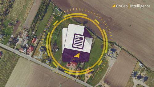
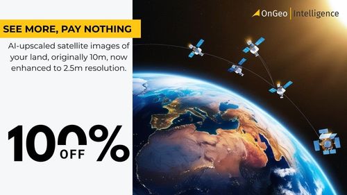
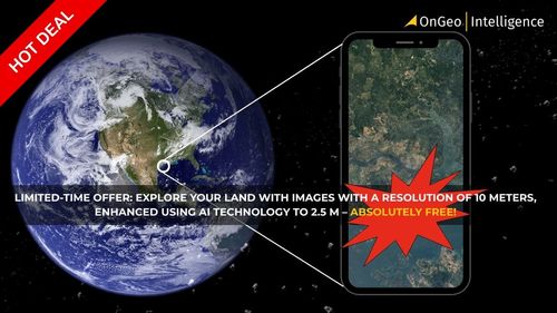
🌍 Capture the world at 100% OFF! Use code ongeo100 on 10 meters satellite image resolutions – limited time only!
Higher resolution satellite images remain subject to payment.