Logo of OnGeo™ Intelligence

Blog

CORONA Satellite Imagery: The Spy Satellites History
2025-02-18
~ 4 min
(Article updated: 2025-02-18)
The CORONA program was the first successful reconnaissance satellite initiative, providing the U.S. with crucial intelligence during the Cold War. Utilizing film-return capsules and daring mid-air recoveries, it marked a pivotal advancement in espionage technology.
2025-02-17
~ 3 min
(Article updated: 2025-02-17)
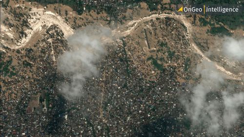
The latest satellite images reveal the scale of Mount Etna’s eruption on February 16–17, 2025. This article analyzes terrain changes, the eruption’s impact on the environment and settlements, and the importance of satellite data in monitoring volcanic activity. Discover how modern technology helps predict hazards and minimize the effects of natural disasters. Check out the full analysis based on satellite imagery!
2025-02-14
~ 6 min
(Article updated: 2025-02-14)
Satellite imagery reveals dynamic urban transformations, showcasing changes in infrastructure, green spaces, and city planning. By analyzing past and present images, we can track development, assess environmental impact, and understand how cities evolve over time
Pansharpening The Secret to Sharper, More Detailed Satellite Images
2025-02-14
~ 4 min
(Article updated: 2025-02-14)
Pansharpening enhances satellite imagery by combining high-resolution panchromatic data with multispectral imagery to produce sharper and more detailed images. Widely used in GIS, agriculture and urban planning, this technique improves analysis and decision-making.
satellite bird eye view
2025-02-07
~ 5 min
(Article updated: 2025-02-07)
Modern investment planning relies on advanced tools like satellite analysis. High-resolution satellite imagery, enhanced by AI and machine learning, allows for precise assessment of land potential. Multispectral sensors detect environmental risks, soil composition, and water presence, helping investors optimize land use and reduce investment risk. Applications include urban planning, transport infrastructure, photovoltaic farms, and natural resource exploration.
Moss Landing Power Plant Fire: Lithium Battery Storage Risks
2025-02-06
~ 6 min
(Article updated: 2025-02-06)
Authorities are investigating the cause while residents and experts call for stricter safety regulations. Satellite images reveal the full extent of the damage.
Applications of Satellite Imagery in Spatial Planning
2025-02-05
~ 6 min
(Article updated: 2025-02-05)
Elevate spatial planning with satellite imagery. Explore how this technology is revolutionizing urban and environmental management, offering precise data for informed decisions. From infrastructure analysis to sustainable development, discover the power of real-time Earth observation.
Using Satellite Imagery As Evidence In Judicial Proceedings
2025-01-30
~ 5 min
(Article updated: 2025-01-30)
Satellite imagery is becoming an easy-to-use and frequently used source of information for the international criminal justice system.
earth space satellite
2025-01-28
~ 4 min
(Article updated: 2025-01-28)
Positional accuracy ensures reliable, high-resolution satellite imagery for precise decision-making in key industries.
Persistent Change Monitoring
2025-01-16
~ 5 min
(Article updated: 2025-01-16)
What is Persistent Change Monitoring (PCM)? Persistent Change Monitoring (PCM) is an innovative geospatial data tool developed by Maxar Technologies, designed to identify and visualize lasting changes on the Earth's surface. Unlike traditional methods that can be easily confused by seasonal fluctuations or natural variations,
Payment operators:
Logo of Stripe
Logo of Visa
Logo of Master Card