🌍 Capture the world at 100% OFF! Use code ongeo100on 10 meters satellite image resolutions – limited time only! Higher resolution satellite images remain subject to payment.
🌍 Capture the world at 100% OFF! Use code ongeo100on 10 meters satellite image resolutions – limited time only! Higher resolution satellite images remain subject to payment.
Satellite Maps: Viewing Your Neighborhood and Beyond
2024-07-25
(Article updated:
2024-11-29
)
~ 4 min
Did you ever think that you could travel to the most distant corners of the world without even leaving your room? That’s the miracle of satellite maps. They can offer you experiences that you have never had before — explore our planet, see wonderful pictures, and get the unique details. In this article, we want to show you a variety of satellite map applications and web services, as well as tell you more about the interesting solution from OnGeo-Intelligence.com.
High-Quality Satellite Imagery, Hassle-Free
Explore any location on Earth with precision. Order a detailed Satellite Imagery Report—no sign-ups, no contracts. Delivered in a clear PDF for instant insights.
Satellite maps are images of Earth taken by human-made satellites orbiting our planet. When these images are connected, they show a bird’s eye view of locations, landscapes, and properties of all sizes.
The uses for satellite maps go far beyond casual use. They are a powerful resource for navigation, city planning, environmental monitoring, and disaster response. By providing an alternative perspective, satellite maps allow us to visit the places we care about in ways we could never before.
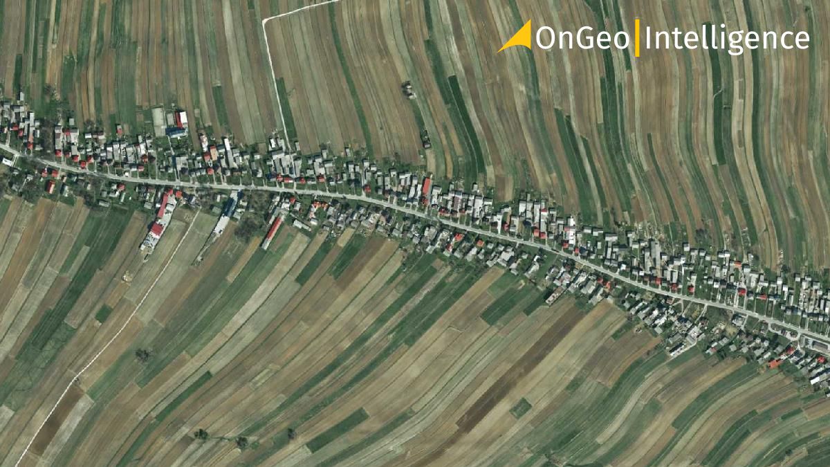
Satellite Imagery Report OnGeo™ Intelligence
Those who want detailed information about high-priority matters can now get very high-resolution satellite imagery with Satellite Imagery Report - thanks to OnGeo™ Intelligence service at OnGeo-Intelligence.com. It has made it possible to get satellite images of any location on the planet.
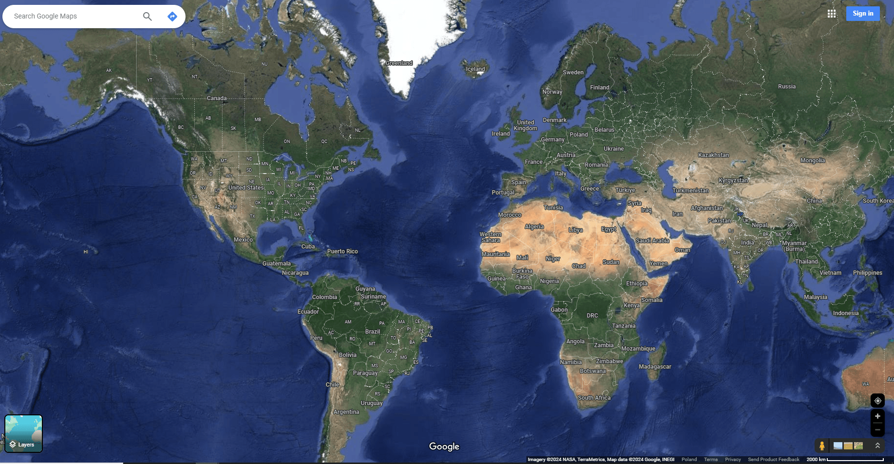
Google Maps is undoubtedly the most popular way for people to get satellite images of any location in the whole world. By using Google Maps satellite view, you will be able to explore your neighborhood so much more clearly and find some hidden places in your nearby area. The satellite images that it provides are high quality and useful for navigation and route planning if you’re curious to visit the new location.
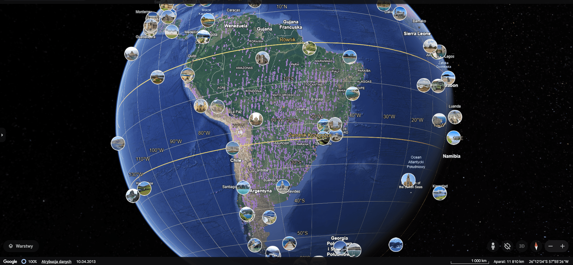
Google Earth is one step ahead of Google Maps; it will show you satellite pictures along with a 3D view of various places on the planet. View buildings and gazillions of places with 3D terrain, dive into the ocean, etc.
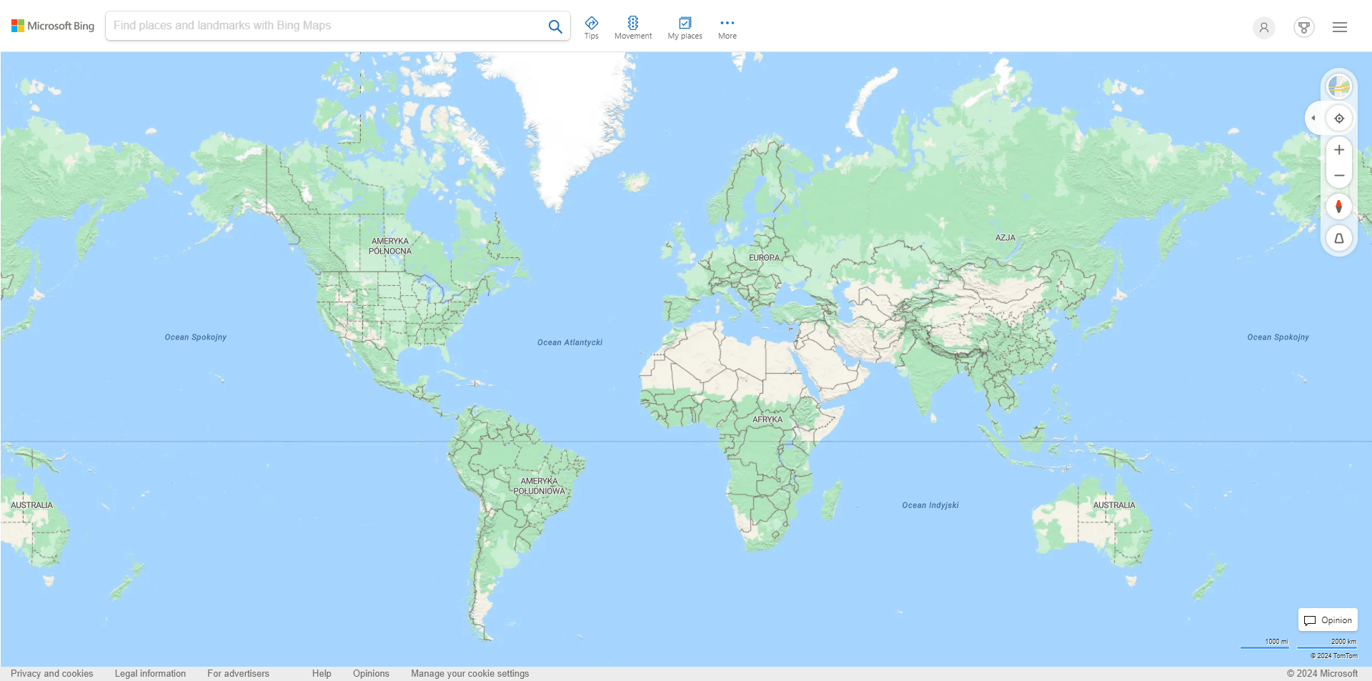
Bing Maps has a lot of what Google Maps has, offering comparable satellite and street-level views and directions. It should suffice for anyone hoping to see detailed satellite images.
Apple Maps launched with many controversies, but over time, they improved, and now it also includes satellite maps with impressive detail, especially in high-density areas.
One of the most common use cases is navigation. Whether you are planning for a road trip or just finding an alternate route to office navigators like Google Maps is always there for you and displays the real-time detailed information you need.
Homeowners and Real Estate Professionals
Homeowners and realtors use satellite maps to look at the properties and neighborhoods — looking at an area from above helps to figure out what is around or near the property, layouts, distance to important places, etc.
Environmental Enthusiasts and Researchers
Satellite maps are a boon for those concerned with nature and scientists. They help monitor natural resources, follow up on animal movement, and trace changes in landscape.
Disaster Response and Recovery
Maps are used to plan and give relief to affected areas during the disaster. Providing accurate information about the area that is affected (near real-time) helps relief organizations plan their operation and help the population affected.
Conclusion
Satellite maps are amazing tools that offer extensive information. From how to navigate to things like the services from OnGeo-Intelligence.com, these maps are beneficial for everyone in their free time and work life.
Satellite maps help us study the phenomenon around us. No other technology provides us with better imagery of our planet. With the Satellite Imagery Report of OnGeo™ Intelligence, see the high-resolution satellite image of the phenomenon around the world easier and quicker. So, the next time you want to visit your surroundings. Or venture into the great unknown; do not forget the satellite map you have in your hands.
Make better decisions using it and appreciate the convenience of satellite maps.
We use cookies to run our website, analyze your use of our services, manage your online preferences & personalize ad content. By accepting our cookies, you'll get relevant content and social media features, personalized ads, and an enhanced browsing experience. To manage your choices, click "Cookie Settings." Necessary cookies are required for the core website functionality and cannot be rejected. For more information, see our Cookie Policy.
About cookies on this site
Cookies used on the site are categorized. Below you can allow or deny some or all of them, except for Necessary Cookies which are required to provide core website functionality. When categories that have been previously allowed are disabled, all cookies assigned to that category will be removed from your browser.
Some cookies are required to provide core functionality. The website won't function properly without these cookies and they are enabled by default and cannot be disabled.
Preference cookies enables the web site to remember information to customize how the web site looks or behaves for each user. This may include storing selected currency, region, language or color theme.
Analytical cookies help us improve our website by collecting and reporting information on its usage.
Marketing cookies are used to track visitors across websites to allow publishers to display relevant and engaging advertisements. By enabling marketing cookies, you grant permission for personalized advertising across various platforms.
The cookies in this category have not yet been categorized and the purpose may be unknown at this time.