The public health challenge of asbestos roofs
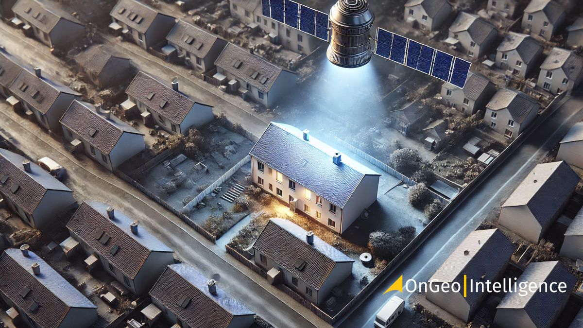
Asbestos-containing materials (ACMs) were once widely used in roofing due to their fireproofing and durability, yet the harmful health effects of asbestos have led to its ban in over 60 countries. As asbestos deteriorates, it releases microscopic fibers into the air, which, when inhaled, can cause life-threatening illnesses like for instance lung cancer. Traditional asbestos detection methods require physical sampling, which can be both costly and time-consuming. With the advent of high-resolution satellite imagery, researchers have found a more efficient way to detect asbestos from afar, helping cities, governments and communities monitor the remaining ACMs and plan for their safe removal.
How Satellite Imagery can help detect asbestos?
Satellite remote sensing offers a way to scan large areas for asbestos-containing roofs through analysis of reflected light across various electromagnetic spectrum bands. By examining specific spectral characteristics, satellites can identify unique materials, including asbestos, based on how they reflect or absorb light.
Different types of satellite images – such as multispectral and hyperspectral images – capture varying numbers of spectral bands, with some capable of detecting hundreds of wavelengths. These images allow scientists to differentiate between asbestos and other roofing materials through specific spectral signatures. In general, for asbestos detection multispectral satellite sensors, which capture light in several visible and infrared bands, have been found effective.
Key satellites in asbestos detection research
Several commercial satellites have significantly advanced asbestos detection research through high-resolution imagery. OnGeo-Intelligence leverages these top satellite resources to provide accurate, high-quality data. QuickBird and WorldView-2 commercial satellites have made substantial contributions to asbestos detection. They were capable of capturing detailed images that were then analyzed to identify asbestos roofs.
- QuickBird Satellite – One of the earlier satellite-based asbestos studies took place in Sao Jose dos Campos, Brazil, where QuickBird imagery was used over a 12-square-kilometer area. While early in development, this approach achieved an overall accuracy of around 51.5%.
- WorldView-2 Satellite – Known for its high-resolution eight-band multispectral imagery, WorldView-2 has been pivotal in asbestos detection, particularly in Europe. Studies in Warsaw, Poland, achieved approximately 90% accuracy, validating WorldView-2 as a reliable source for asbestos detection. In Kajang and Bangui, Malaysia, similar research with WorldView-2 images showed a commendable 93% accuracy.
- WorldView-3 Satellite – Launched later, WorldView-3 includes a short-wave infrared (SWIR) sensor, which enhances its ability to capture more subtle spectral information essential for asbestos detection. Although the WorldView-3 satellite wasn't part of the earliest studies, its added spectral bands provide further capabilities that can aid in identifying asbestos-specific signatures.
The detection process generally involves multispectral or hyperspectral analysis. High-resolution satellite imagery is collected over the area of interest. Multispectral images, which capture light in specific bands (e.g. visible, near-infrared and short-wave infrared), are essential as they can highlight asbestos’ unique spectral characteristics.
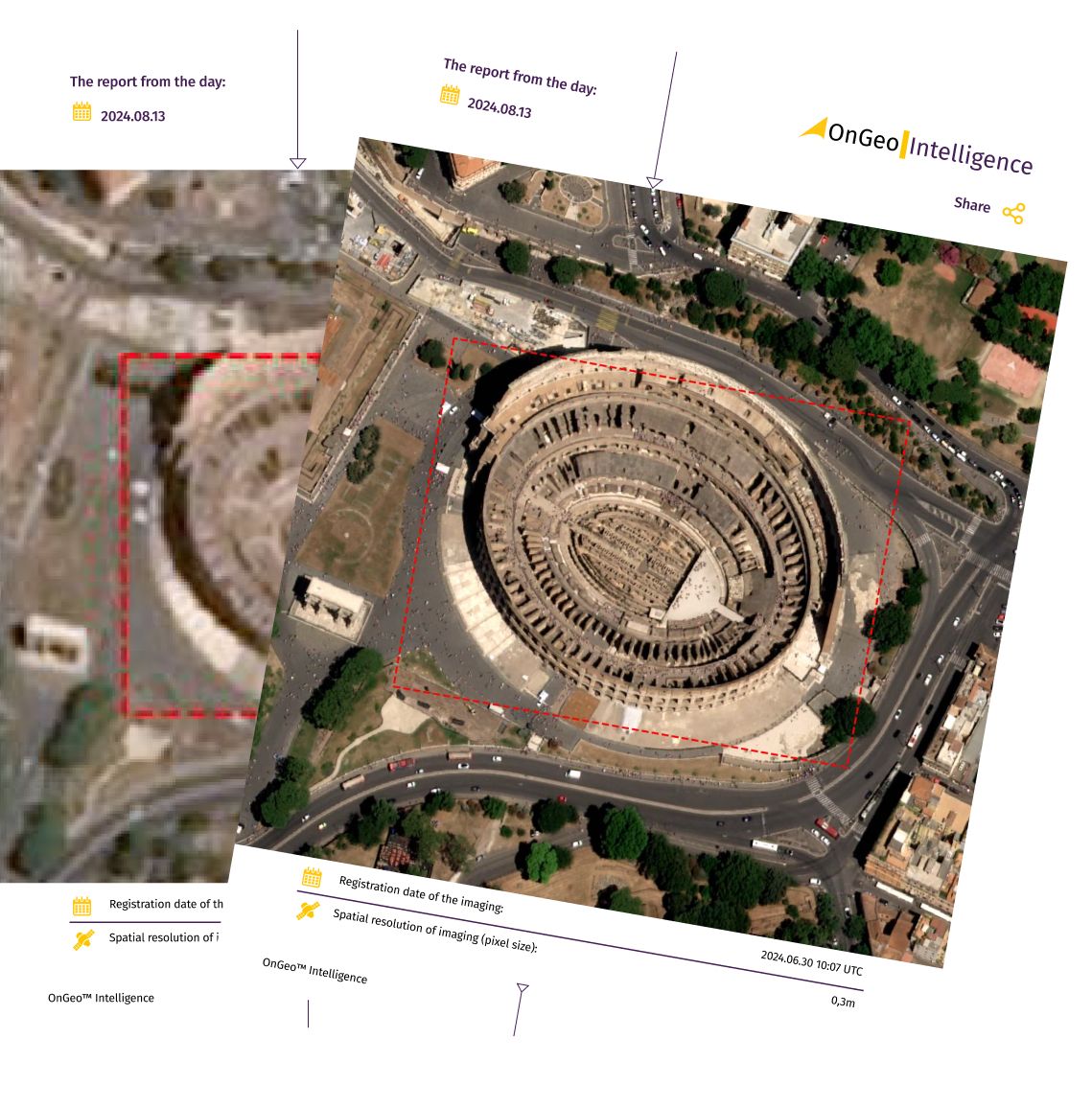
OnGeo Intelligence Satellite Imagery Report
OnGeo-Intelligence Reports utilize imagery from these and other high-resolution satellites to deliver trusted data for industries needing precise and reliable asbestos monitoring solutions.
OnGeo Intelligence offers a user-friendly Satellite Imagery Report, providing high-resolution satellite data in a convenient PDF format without the need for registration or contracts. Users worldwide can easily access top-quality imagery and valuable insights tailored to their specific area of interest, supporting swift decision-making across industries. This report makes it simple to harness reliable satellite data for precise analysis and effective planning.
Get more info about: Satellite Imagery Report OnGeo™ Intelligence
Using Machine Learning and AI algorithms
Advanced artificial intelligence models are sometimes used to further improve accuracy. AI models “learn” from previously classified images, recognizing patterns specific to asbestos. By identifying asbestos roofs in high-resolution satellite images, AI enables large-scale detection while reducing the manual labor required in traditional methods. Ground-based data, when available, may be used to validate the accuracy of the satellite results.
Benefits and challenges of satellite-based asbestos detection
Satellite-based asbestos detection offers multiple benefits, particularly its ability to cover vast areas quickly and without the need for physical inspections. It provides continuous monitoring capabilities, which is critical for governments tracking asbestos roof removals to comply with health and safety regulations. Furthermore, by using spectral imaging, the process avoids the release of asbestos fibers, making it safer for communities and workers alike.
However, there are challenges. Not all asbestos roofs can be detected, especially if they are smaller in size or covered by other materials. In Italy’s Aosta Valley researchers found that asbestos roofs smaller than 144 square meters were often missed. Moreover, since some older buildings have painted asbestos roofs, satellite data processing may in such cases require adjustments or complementary analysis.
But generally, in the light of coming improvements in resolution and AI-based analysis, satellite detection could become a vital tool for managing asbestos across both urban and rural areas. As more satellites with advanced spectral capabilities – like WorldView-3 – become available, the accuracy and feasibility of detecting asbestos will improve, supporting a healthier and safer environment for communities worldwide.


