Logo of OnGeo™ Intelligence

Blog

Non-Earth imaging BlackSky
2024-09-24
~ 2 min
(Article updated: 2024-11-21)
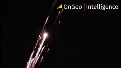
BlackSky expands into space domain awareness through strategic partnership with hEO HEO specializes in NEI and space analytics . The newly established partnership integrates BlackSky’s satellite constellation into HEO’s sensor network. This collaboration enables capturing space objects data, especially over the middle latitudes of Earth, using previously unused satellite capacity when satellites are passing over oceans or during eclipse phases.
NIR Near Infrared OnGo Intelligence
2024-09-20
~ 5 min
(Article updated: 2024-11-21)
Near Infrared: A key tool for vegetation and crop health monitoring The Near Infrared band is particularly useful in agriculture for crop health monitoring and assessing the overall condition of vegetation. In general it is used for assesment of the condition of vegetation. It is possible due to NIR’s strong correlation with the plants’ chlorophyll level. Healthy plants with high levels of chlorophyll are able to reflect the NIR light very efficiently.
Floods in Poland Satellite images
2024-09-20
~ 4 min
(Article updated: 2024-11-21)
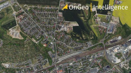
New satellite images expose the dramatic landscape of flooded areas Satellite maps, available in the OnGeo Intelligence Satellite Image Report , precisely depict the flood-affected regions. The extent of the flooded areas significantly exceeds previous estimates, further emphasizing the importance of this data for effective crisis management.
Earth Observation Satellites
2024-09-18
~ 5 min
(Article updated: 2024-11-21)
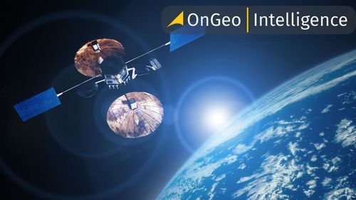
Passive and active Earth observation satellites Among the different types of sensors monitoring the Earth from satellites the most important distinction can be drawn between optoelectronic and radar satellites . The optoelectronic satellites are equipped with passive sensors in many ways similar to cameras that we use every day taking pictures with our smartphones.
Sentinel-2C Satellite Successfully Launched
2024-09-10
~ 3 min
(Article updated: 2024-11-21)
New Addition to Copernicus Fleet Promises Enhanced Climate Change Monitoring and Environmental Management Sentinel-2C joins its predecessors in the Copernicus constellation, reinforcing Europe's capacity to monitor environmental changes, support agricultural practices, and aid in disaster management. This launch ensures the continuity of vital data streams that have become indispensable for addressing global challenges.
Earth Observation
2024-09-10
~ 4 min
(Article updated: 2024-11-21)
What is Earth Observation? In its simplest form, Earth Observation is a way to collect information about Earth via space satellites. These satellites hover the outside of Earth, taking photos, to send the data back to The Earth’s surface for study. In the earlier days, the information was often used to track larger issues, like environmental changes or disaster tracking. As time went by, people became creative with the use of Earth Observation data.
Satellite images Sentinel-2
2024-09-03
~ 7 min
(Article updated: 2024-11-21)
Sentinel-2 Satellites The Sentinel-2 program includes two satellites: Sentinel-2A , which was launched in June 2015, and Sentinel-2B , which joined it in March 2017. Both satellites operate in sun-synchronous orbits, meaning they pass over the same point on Earth at the same time each day.
Satellite Image Resolution
2024-08-30
~ 5 min
(Article updated: 2024-11-21)
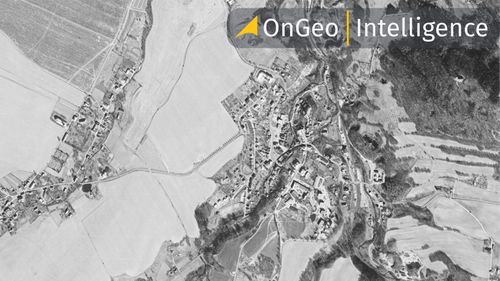
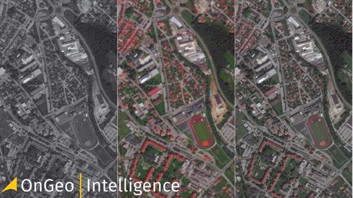
What is Spatial Resolution? The spatial resolution of satellite images plays a vital role in determining the level of detail with which objects can be observed in the image. It serves as a measure of the minimum distance at which two distinct points on the Earth's surface can be recognized as separate entities. Essentially, the higher the resolution, the smaller the objects that can be discerned in the image.
2024-07-25
~ 4 min
(Article updated: 2024-11-21)
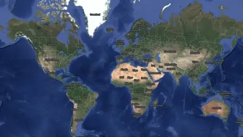
Satellite maps are images of Earth taken by human-made satellites orbiting our planet. When these images are connected, they show a bird’s eye view of locations, landscapes, and properties of all sizes. The uses for satellite maps go far beyond casual use. They are a powerful resource for navigation, city planning, environmental monitoring, and disaster response. By providing an alternative perspective, satellite maps allow us to visit the places we care about in ways we could never before.
Very high resolution (VHR) satellite imagery OnGeo Intelligence
2024-07-02
~ 11 min
(Article updated: 2024-11-21)
In today's digitally advanced world, high resolution satellite imagery has become a pivotal resource across a multitude of sectors. The ability to access highly detailed views from above not only enhances our understanding of Earth's surface but revolutionizes decision-making processes in various fields. With advances in spatial resolution, the quest for the highest quality satellite imagery is more pertinent than ever.
Payment operators:
Logo of Stripe
Logo of Visa
Logo of Master Card