Airbus Satellite Imagery for Earth Observation
In today’s data-driven world, Earth Observation (EO) satellites play a pivotal role in understanding and managing our planet. Airbus Defence and Space — a global leader in satellite imaging — delivers cutting-edge optical and radar solutions that provide unmatched precision and clarity. With applications across industries like defense, urban planning, agriculture, and maritime surveillance, Airbus satellite fleet is revolutionizing Earth observation.
Airbus Advanced Satellite Imaging Technologies
Airbus Defence and Space offers range of Earth Observation (EO) imagery through both optical and radar technologies. Below, we explore their key satellite systems and technologies.
Optical Imagery: Precision and Detail
Airbus optical satellites deliver high-resolution, multi-spectral visuals that enable accurate analysis and monitoring of the Earth's surface.
Pléiades Neo: High-Resolution Innovation
- Resolution: 30 cm native resolution—one of the sharpest in the industry.
- Capabilities: Intraday revisit and advanced spectral imaging make it ideal for urban development, environmental monitoring, and dynamic defense applications.
- Use Case: Monitoring infrastructure projects or analyzing climate-related changes with unparalleled clarity.
Pléiades : Versatility for Daily Monitoring
- Resolution: 50 cm, balancing precision and coverage.
- Key Applications: Precision mapping, emergency response, and civil engineering.
- Feature: Daily revisit ensures consistent monitoring of critical areas.
SPOT: Wide-Area Coverage
- Resolution: 1.5 m, optimized for large-scale monitoring.
- Applications: National mapping, agricultural planning, and extensive resource management.
- Strength: Efficient coverage of vast areas with stereo imaging capabilities.
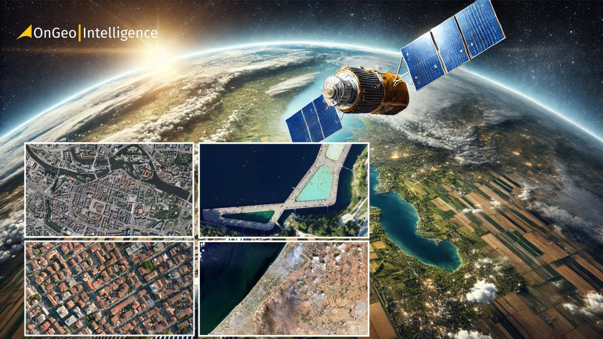
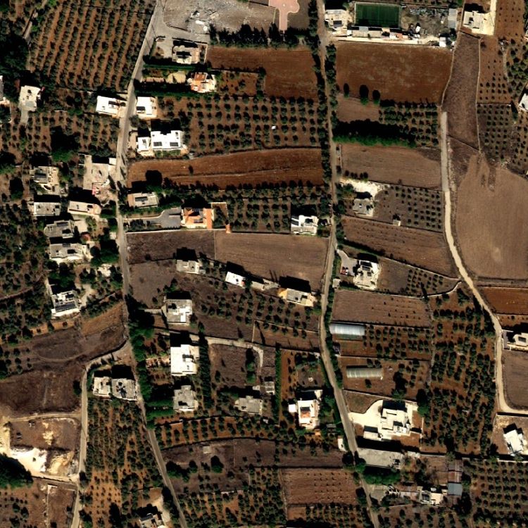
OnGeo - Intelligence Satellite Imagery Reports
Unlock the power of high-resolution satellite imagery with OnGeo-Intelligence. Our Satellite Imagery Reports provide precise, up-to-date insights for any location on Earth, delivered in an easy-to-use PDF format. Whether you're managing projects, monitoring assets, or analyzing critical events, OnGeo's reliable, high-quality data empowers you to make smarter, faster decisions without the hassle of subscriptions or contracts.
Radar Imagery: All-Weather Reliability
Airbus' radar imaging solutions, such as TerraSAR-X, TanDEM-X, and PAZ, operate in the X-band frequency, enabling all-weather, day-and-night imaging.
- TerraSAR-X and TanDEM-X: These satellites excel in applications requiring precise elevation models and surface motion analysis. Their high-resolution Synthetic Aperture Radar (SAR) data supports civil engineering, resource exploration and maritime surveillance.
- PAZ: Operating alongside TerraSAR-X and TanDEM-X, PAZ enhances radar imaging capabilities for security and environmental monitoring.
Radar satellites are indispensable in scenarios where optical systems may be hindered by cloud cover or limited light, offering unmatched reliability.
Key Advantages of Airbus Satellite Imagery
What sets Airbus Defence and Space apart is their commitment to delivering reliable, actionable data. Key benefits include:
- High-Resolution Precision: Optical imagery up to 30 cm and radar data for accurate analysis.
- Rapid Revisit Rates: Intraday revisit capabilities for real-time decision-making.
- All-Weather Reliability: Radar satellites provide consistent data, unaffected by weather or lighting.
- Comprehensive Portfolio: A synergy of optical and radar technologies for diverse applications.
- Extensive Archive Data: Decades of historical imagery empower long-term trend analysis and research.
Transformative Applications Across Industries
- Defense and Security: High-resolution data from Pléiades Neo and radar imaging from TerraSAR-X empower defense strategies with geospatial intelligence, border surveillance, and mission planning.
- Urban Planning and Infrastructure: Cities utilize Pléiades and SPOT imagery for urban development, transportation management, and resource allocation, enabling sustainable growth and infrastructure planning.
- Agriculture and Environmental Monitoring: Farmers leverage Airbus’ optical imagery for precision agriculture, crop monitoring, and yield optimization. For example, vineyards benefit from Pléiades Neo imagery to improve irrigation and productivity.
- Maritime Surveillance: Radar satellites, such as TerraSAR-X, detect illegal activities, monitor vessel movements, and evaluate environmental risks in oceans and seas.
- Disaster Management and Emergency Response: In crisis situations, Airbus’ rapid imaging capabilities assist in damage assessment, infrastructure recovery, and resource allocation. Optical and radar data play a critical role in planning and decision-making during natural disasters.
The Airbus Satellite Fleet: Leading Earth Observation Forward
Pléiades Neo: Redefining Optical Imaging
The Pléiades Neo constellation represents Airbus’ most advanced optical earth observation satellite system. Entirely developed in-house, these satellites offer unmatched geolocation accuracy, rapid tasking capabilities and the ability to revisit any point on Earth at least twice daily. With applications ranging from defense to environmental monitoring, Pléiades Neo is a cornerstone of modern Earth observation.
SPOT: Efficiency and Coverage
SPOT satellites are ideal for large-scale mapping and agricultural analysis. Their ability to cover millions of square kilometers daily makes them indispensable for national-level projects and extensive environmental studies.
TerraSAR-X and TanDEM-X: Precision in Radar Imaging
This tandem radar system is a leader in generating detailed elevation models and surface deformation studies. Its applications range from civil engineering to natural resource management, showcasing the versatility of radar technology.\
Empowering Decision-Makers Worldwide
Airbus Defence and Space is a trusted partner in the Earth observation industry, offering versatile solutions that combine precision, reliability, and global coverage. Whether it’s monitoring urban sprawl, optimizing agricultural yields, or safeguarding maritime borders, Airbus’ satellite data empowers professionals to make confident, data-driven decisions.
By delivering high-resolution optical and radar imagery, Airbus is not only observing the Earth but transforming insights into actionable intelligence that drives progress across industries worldwide.
Related articles
- Maxar Technologies: An Overview of Satellite & Geospatial Solutions
- Real-Time Satellite Imagery
- What Is Location Intelligence? A Guide for Modern Businesses
- WorldView Legion: Advanced Satellite Imaging & Observation
- The Power of Satellite Stereo Imagery
- Airbus Pleiades Neo Next: 20 cm Satellite Imagery in 2028