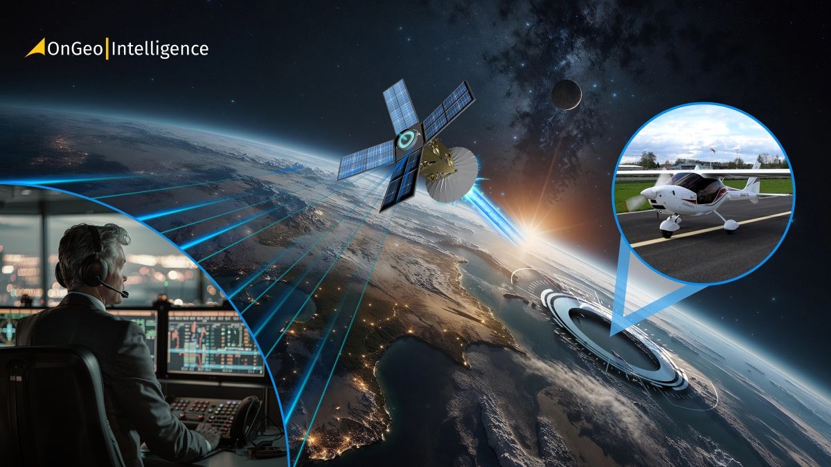
Satellite Imagery vs Aerial Photography: Key Differences Explained
Ever wondered how experts manage to capture such detailed views of Earth - from sprawling cities to single roads - all from above?
The answer lies in two powerful technologies: satellite imagery and aerial photography.
Both show our planet from the sky, but they differ in how the images are taken, their scale, and the ways they’re used. In this guide, you’ll learn the key differences between satellite and aerial imagery, how each supports geospatial analysis, and why choosing the right one matters for industries that rely on accurate Earth observation data.
What Is Aerial Photography?
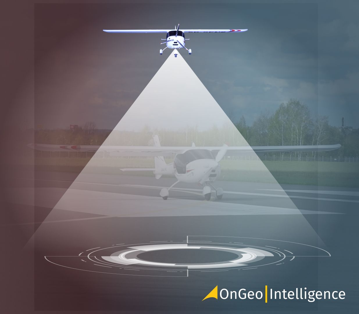
Aerial photography involves taking images of the Earth’s surface from aircraft, drones, or other flying platforms. These photos are captured using high-resolution cameras or sensors, usually from a few hundred meters to several kilometers above the ground.
Because aerial images are taken from lower altitudes than satellites, they capture much finer detail - you can see individual buildings, vehicles, and even small terrain features. That’s why aerial photography is ideal for precision projects such as urban planning, construction monitoring, or land surveying.
However, this method depends heavily on weather and flight conditions. Cloud cover, restricted airspace, or high flight costs can all limit when and where imagery is captured. Despite these challenges, aerial imagery remains one of the most reliable ways to obtain accurate, up-to-date visuals over small and medium-sized areas.
What Is Satellite Imagery?
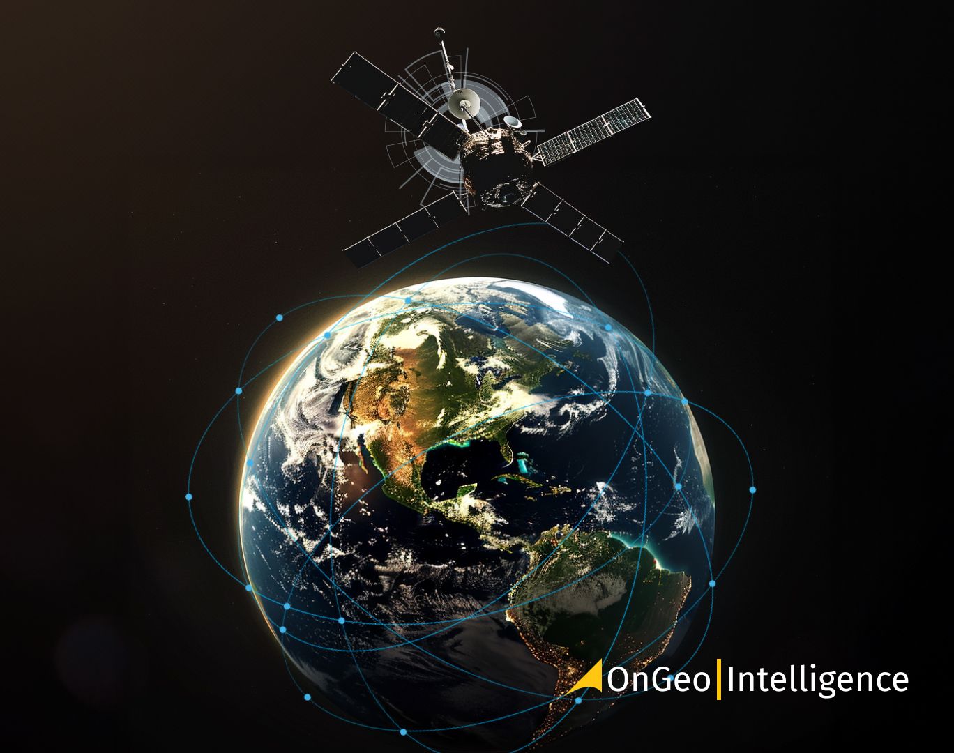
Satellite imagery is collected by sensors mounted on satellites orbiting the Earth. These sensors record reflected or emitted energy across various parts of the electromagnetic spectrum - visible light, infrared, and radar among others. The data is then processed into images that reveal valuable information about the planet’s surface, oceans, and atmosphere.
Unlike aerial photos, satellite imagery can cover enormous areas - even entire continents - and can be collected repeatedly as satellites pass over the same spot. This makes it ideal for long-term monitoring of deforestation, urban expansion, or agricultural health.
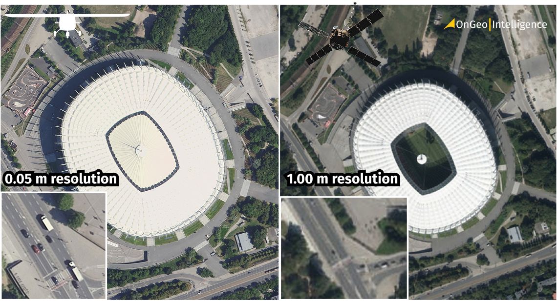
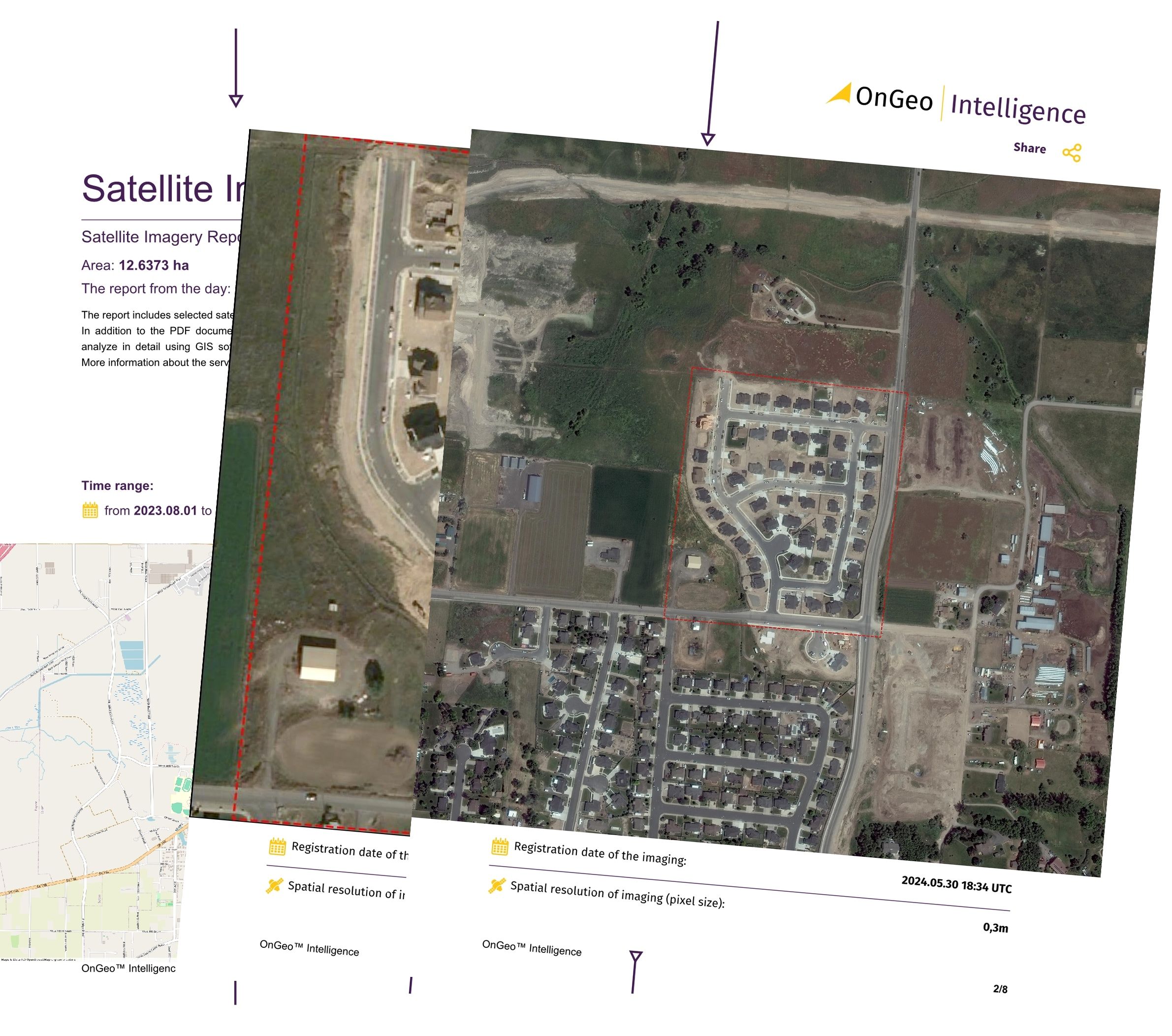
Modern satellites like Sentinel-2, Landsat 9, or WorldView-3 can capture images with a resolution of 15 meters to 0.30 meters. Combined with cloud platforms and analytic tools, this data has become more accessible than ever, powering maps, environmental reports, and real-time decision-making worldwide.
How Both Support Geospatial Analysis
Both satellite imagery and aerial photography are essential in geospatial analysis - the science of collecting, mapping, and interpreting data about the Earth’s surface. Each plays a distinct role depending on the project’s scale, purpose, and accuracy requirements.
Satellite imagery provides continuous, repeatable coverage on a global scale. It’s perfect for studying changes over time, such as vegetation loss, climate trends, or population growth. With multispectral and radar data, analysts can detect soil moisture, land cover, or temperature variations.
Aerial photography, in turn, supports small-scale, high-precision mapping. Because it delivers finer detail, it’s commonly used for urban development, infrastructure monitoring, or cadastral mapping (property boundaries). Drone-based aerial imagery is particularly useful for creating 3D models, digital elevation maps, and visual inspections.
When combined in a GIS (Geographic Information System), both types of imagery complement each other - satellites provide the big picture, while aerial imagery delivers the details. Together, they offer deeper spatial insights and more accurate data for industries like agriculture, environmental management, and public safety.
Core Differences at a Glance: Satellite Imagery vs Aerial Photography
| Feature | Satellite Imagery | Aerial Photography |
|---|---|---|
| Source | Captured by sensors on orbiting satellites | Captured by cameras or sensors on aircraft or drones |
| Altitude | 500–36,000 km above Earth | 100 m–10 km above Earth |
| Coverage Area | Global or regional | Local to regional |
| Resolution | 30 cm (high-res) to 1 km (low-res) | As fine as a few centimeters |
| Revisit Time | Regular (hours to days) | On-demand, based on flight schedule |
| Weather Dependence | Clouds affect optical data; radar works anytime | Highly affected by clouds, rain, and visibility |
| Cost | Lower cost per km² for large areas | Higher cost per km² for small areas |
| Spectral Data | Visible, infrared, radar, thermal | Mostly visible, sometimes thermal |
| Typical Use Cases | Environmental monitoring, mapping, agriculture | Surveying, construction, land management |
When to Use Which
Choosing between satellite imagery and aerial photography depends on your project’s size, goals, and budget.
Use satellite imagery when:
Use satellite imagery when:
You need large-scale or regional coverage (e.g., agriculture, deforestation, or city growth).
Frequent updates are essential for time-series analysis or change detection.
You require multispectral or radar data for vegetation, water, or soil analysis.
You’re working with limited resources - open data from Sentinel or Landsat is free.
Use aerial photography when:
You need ultra-high resolution (centimeter-level) for construction, surveying, or mapping.
You require real-time or on-demand capture, such as post-disaster analysis.
Your project is local and precision matters more than broad coverage.
You’re integrating drone or LiDAR data for 3D modeling.
In short, satellite imagery gives you the big picture, while aerial photography delivers the fine details. Modern geospatial workflows often combine both - using satellite data for context and aerial data for accuracy.
Key Factors to Consider
Spatial Resolution
Aerial imagery offers resolutions as fine as 3–10 cm, perfect for detailed local projects. Satellite imagery ranges from 30 cm (WorldView-3) to 10–30 m (Sentinel or Landsat), better suited for large-scale monitoring.Coverage Area
Satellites capture entire regions or continents in one pass. Aerial platforms cover smaller, targeted zones - great for focused projects.Revisit Frequency
Satellites revisit the same area on a predictable schedule (Sentinel-2 every 5 days). Aerial flights depend on weather, cost, and permissions.Cost and Accessibility
Satellite data is often cheaper and easier to access - some missions offer it for free. Aerial imagery, while more expensive, provides unmatched precision.
How OnGeo Intelligence Applies
OnGeo Intelligence connects these two worlds by offering easy access to satellite, aerial, and drone imagery - all in one ecosystem.
Through its data portal and analytical tools, OnGeo enables users to:
Access and compare multi-source imagery;
Perform change detection, land cover classification, and spatial analytics;
Simplify complex geospatial workflows - from environmental planning to infrastructure monitoring.
By combining clarity, accessibility, and intelligence, OnGeo turns raw imagery into actionable insights for everyone - from analysts to everyday decision-makers.
Why It Matters
Understanding the difference between satellite imagery and aerial photography isn’t just a technical matter - it’s the foundation of smarter decision-making.
Accuracy, resolution, and timing can make or break a project. Urban planners rely on aerial photos for detailed building layouts, while environmental scientists turn to satellite data to study ecosystems at scale.
Today, many organizations combine both approaches - using satellites for regional intelligence and drones for local validation. This hybrid strategy leads to smarter cities, healthier ecosystems, and faster disaster responses.
Real-World Applications
Urban Planning and Infrastructure
Cities use aerial photography for detailed mapping, inspections, and construction tracking. Satellites, meanwhile, provide a long-term view of urban growth and land-use changes.Agriculture and Environmental Monitoring
Farmers and researchers use satellite imagery (Sentinel, Landsat) to monitor vegetation and soil conditions. Drones deliver detailed insights for precision farming and crop health assessment.Disaster Response and Risk Management
Satellite data offers quick regional coverage during floods or fires, while aerial imagery helps assess damage in specific locations.Defense and Security
Governments and private agencies often merge both datasets - satellites for strategic surveillance, aerial imagery for tactical operations.
Final Thoughts
Satellite imagery and aerial photography both change the way we see our planet. Each has its own strengths - satellites deliver global coverage and historical context, while aerial photography provides unmatched local detail.
The key isn’t choosing one over the other, but understanding how they work together. As geospatial technology advances, the fusion of these data sources will shape the future of Earth observation - transforming raw pixels into meaningful, actionable intelligence.
Related articles
- Aerial photos as evidence in the case
- CORONA Satellite Imagery: The Spy Satellites History
- Unlocking the Past: How to Search for Historical Satellite Imagery
- Earth Observation Satellites: Types, Orbits, and Use Cases
- Satellite Image Resolution
- Using Satellite Imagery As Evidence In Judicial Proceedings
- What Is Satellite Imagery? A Complete Beginner’s Guide