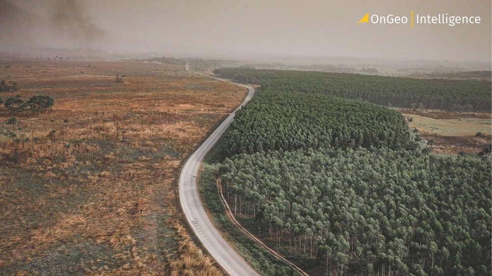
Satellites vs. Deforestation: Monitoring Earth's Forests
From the heart of the Amazon to Southeast Asia’s biodiversity hotspots, Earth observation satellites are transforming how we track forest loss. With daily insights and global coverage, platforms like Planet and data from the Copernicus Sentinel program are turning remote sensing into a frontline tool against deforestation.
The New Era of Forest Monitoring
Remote sensing enables detection of deforestation across different landscapes, from tropical rainforests and savannas to managed forests and croplands. This technology provides tools that translate raw data into actionable insights for governments, researchers, and conservation groups.
Detecting Disturbances in Near-Real Time
Tools like the OPERA DIST-ALERT system, developed by NASA and the University of Maryland in collaboration with the World Resources Institute, show how this technology goes beyond traditional forest boundaries. Using data from Landsat and Sentinel-2 satellites, the system detects vegetation anomalies in near-real time. Whether caused by fire in Canada, logging in the Republic of Congo or cyclones in Malawi, the alerts highlight changes that would be difficult to spot from the ground.
High-Resolution Insights with Planet
Similarly, Planet’s satellite constellation offers forest managers and authorities unprecedented monitoring capabilities. With imagery at 3.7-meter resolution and daily revisit rates, PlanetScope data helps automatically track clear-cutting, forest degradation and illegal logging. In regions like the Brazilian Amazon or Indonesian Kalimantan, Planet imagery has revealed forest loss that occurred over just a few months, enabling faster local response.
This time-lapse of the Bolivian Amazon, created from satellite imagery, shows the relentless pace of deforestation.
Key Satellite Systems at a Glance
Planet (PlanetScope)
⚡️Strength: Highest frequency (near-daily revisit) and very high resolution (3.7 m).
🎯Best for: Detecting rapid, sudden changes like illegal logging or clear-cuts.
Copernicus (Sentinel-2)
⚡️Strength: Free, global data, high radiometric quality, and unique spectral bands (e.g., SWIR for vegetation health).
🎯Best for: Large-scale change analysis, powering alert systems, and assessing forest health.
USGS/NASA (Landsat)
⚡️Strength: The longest continuous data archive (since 1972), crucial for historical trend analysis.
🎯Best for: Studying long-term deforestation patterns and land-use change.
Beyond Tracking Loss: New Applications of Satellite Data
The impact of remote sensing extends far beyond simply mapping deforestation. It is becoming a critical tool for policy enforcement, scientific discovery, and future planning.
Ensuring Supply Chain Compliance with EUDR
Beyond tracking loss, satellites also help verify the origins of agricultural commodities. As the EU Deforestation Regulation (EUDR) comes into force, requiring traceability of products like cocoa, soy and rubber, remote sensing is becoming central to supply chain compliance. By combining field data with satellite-derived deforestation alerts from sources like Sentinel-2, platforms can assess whether a product likely came from recently deforested land. This is especially important in places like Brazil, where millions of cattle ranches and small farms pose a challenge for traditional monitoring.
What is the EUDR?
- 🎯 Goal: To ensure that products placed on the EU market have not contributed to deforestation or forest degradation worldwide.
- 📝 Requirement: Companies must prove that commodities like soy, palm oil, coffee, cocoa, and rubber come from plots of land that were not deforested after December 31, 2020.
- 🛰️ The Role of Satellites: Satellite data provides objective, verifiable proof of land-use history, which is essential for due diligence and compliance.
Uncovering Hidden Deforestation
New research further shows that deforestation tied to rubber production in Southeast Asia has been significantly underestimated. Thanks to improved Earth observation data, including Sentinel-2 imagery, and cloud-based processing, scientists produced high-resolution maps revealing over 4 million hectares of forest loss since 1993. Much of this occurred in areas previously thought unaffected, raising urgent questions for policy and land management.
Democratizing Data: The Future of Forest Protection
The growing availability of data is matched by the development of accessible tools, empowering a wider range of users to contribute to forest conservation.
Predicting the Future of Forests
Satellites not only capture what has already changed but also support predictive models. The EU’s forest tools include datasets like EU-Trees4F, which simulate the future distribution of 67 tree species in Europe based on climate projections. This allows planners to anticipate shifts in forest composition and prepare for long-term adaptation. The Sentinel-2 satellite's ability to measure leaf area index (LAI) and other plant indices contributes valuable data to these models.
Accessible Tools for Everyone
Accessible software and platforms are also expanding the impact of satellite data. Tools like IMPACT Toolbox or the open-source nrt (near-real-time) Python package provide user-friendly environments to analyze satellite time-series and generate alerts. The SNAP Toolbox, developed by the European Space Agency, offers advanced processing capabilities for Sentinel-2 data. This means even non-specialist users can take part in mapping and validating forest cover changes with confidence, using analysis-ready data from the Copernicus programme.
A Vital Lens on Our Planet’s Forests
From automatic cutover mapping to REDD+ verification, satellites today are indispensable for monitoring forests at scale. They provide consistent, objective and timely information that supports better decision-making, whether the goal is conservation, compliance or climate action. With forest loss continuing at alarming rates, Earth observation offers a vital lens into the changing face of our planet’s forests.
Related articles
- Amazon Deforestation: What Satellite Reports Reveal
- From Space to Shore: How Earth Observation Satellites Help Monitor Water Quality
- How Satellite Imagery Improves Crisis Management and Disaster Response
- The Atlantic Forest Deforestation: South America's Silent Drama Seen from Space
- Satellite Imagery Reveals M23’s Environmental Destruction in Eastern DRC
- Satellite Forest Monitoring from Space: Global Tree Mapping with Satellite Earth Observation