🌍 Capture the world at 100% OFF! Use code ongeo100on 10 meters satellite image resolutions – limited time only! Higher resolution satellite images remain subject to payment.
🌍 Capture the world at 100% OFF! Use code ongeo100on 10 meters satellite image resolutions – limited time only! Higher resolution satellite images remain subject to payment.
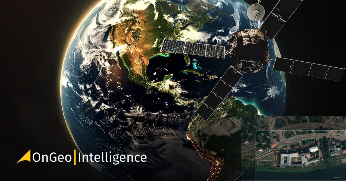
Real-Time Satellite Imagery
2024-06-18
(Article updated:
2024-11-29
)
~ 6 min
Viewing satellite images in real-time is mainly achieved through meteorological satellites. These images, at best, show conditions from a few minutes ago and are mostly provided by geostationary meteorological satellites. They display land contours, cloud patterns, and terrain details with a resolution of about 1 to 5 km per pixel. As a result, houses, roads, and small towns are not visible. In the USA, meteorological satellites capture images every 5 minutes, while in other regions, the interval ranges from 10 to 30 minutes depending on the satellite type.
High-Quality Satellite Imagery, Hassle-Free
Explore any location on Earth with precision. Order a detailed Satellite Imagery Report—no sign-ups, no contracts. Delivered in a clear PDF for instant insights.
Very High Resolution (VHR) satellite imagery, which offers detailed terrain views, is available from different types of satellites. These images are usually accessible within a few to several dozen hours after being captured. You can get them through our OnGeo™ Intelligence platform as part of a Satellite Imagery Report. This report includes images cataloged in a time series and presented in an interactive PDF format, which does not require specialized software to view. The time between observation and user receipt depends on the processes defined by satellite operators and their information-sharing policies. Often, the latest images are released with a delay due to their competitive value.
Ordering your Satellite Imagery Report: a simple process
Ordering Satellite Images is very convenient and simple, you just need to fill out the order form, and the report will be available 5 minutes (for low-resolution scenes and up to a maximum of 48 hours for high-resolution data) after payment. Go to the satellite imageryReport order form
If you have a moment, I can explain how Earth observation satellite technology works and why real-time observation of daily life from space is not possible. Observation satellites range in size from a football to a bus and lack propulsion engines or wings. They must stay in orbit without falling to Earth or drifting into space. This causes some limitations. Let's start by listing the limitations of observing the Earth from space and then discuss each one:
Orbital mechanics and satellite movement: Satellites must maintain specific orbits at certain heights above the Earth, which affects their movement and coverage areas.
Radio communication: The farther a satellite is from Earth, the lower the bandwidth of the signal, impacting data transmission speed and quality.
Optics: The distance of the satellite from the Earth affects the imaging resolution—the farther away, the poorer the resolution.
Visibility and illumination: Factors such as day, night, clouds, and fog can obstruct or limit the visibility of the Earth's surface.
Curvature of the Earth: The Earth's curvature restricts the satellite's signal reception capabilities.
Understanding these limitations helps explain why real-time satellite observation of detailed, everyday life on Earth is not feasible.
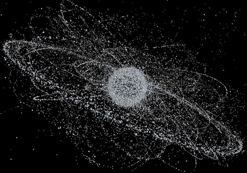
Movement of satellites in orbit
Understanding Satellite Orbits and Imaging
1. What Keeps a Satellite in Orbit?
A satellite remains in orbit due to the balance between its velocity and the force of gravity. Gravity pulls the satellite towards the Earth, creating a constant state of free fall. However, the satellite's high speed causes its trajectory to curve, generating a centrifugal force that counterbalances gravity. This is similar to how a cyclist remains upright on a curved path by balancing centrifugal and centripetal forces. The required balance of these forces determines the satellite's orbit. Higher orbits require slower speeds. In the vacuum of space, where resistance is negligible, a satellite can maintain its initial velocity for many years or even millennia, as exemplified by the Moon's stable orbit around Earth.
Satellites in low Earth orbit travel at speeds of about 7 to 8 km/s (27,000 km/h), while those in geostationary orbit move at around 3 km/s, matching the Earth's rotation to stay fixed over the equator. Small rocket engines correct any deviations in the satellite's path.
2. How High Do Observation Satellites Fly?
The altitude of observation satellites varies based on their purpose. Low Earth orbits, around 420 to 700 km above the Earth, are used for scientific research and high-resolution Earth observation. For instance, the International Space Station orbits at about 420 km, traveling at 7.67 km/s and completing roughly 15.5 orbits per day. Modern high-resolution imaging satellites, like Maxar Legion, operate at around 450 km, offering resolutions as fine as 30 cm per pixel. Most observation satellites, such as SkySat, WorldView, and Sentinel, occupy orbits between 450 and 786 km. These satellites move relative to the Earth's surface, preventing continuous observation of the same area. In contrast, geostationary satellites at 36,000 km altitude can observe the Earth in real-time but lack the resolution to capture small details.
3. How is a Satellite Image Created?
Creating satellite imagery is similar to taking a photowith a digital camera. The quality of a satellite image mainly depends on its spatial resolution. The highest resolution available to civilians reaches 30 cm per pixel. Currently, satellite images with resolutions between 30 and 50 cm per pixel allow for clear observation of field details, including objects the size of cars or individual trees. Resolutions of 0.6 to 2.5 meters are suitable for identifying buildings, while 10 to 30 meters are used for analyzing agricultural crops, forests, and water bodies. Additionally, satellite imagery can capture data beyond visible light, such as near and mid-infrared, revealing phenomena invisible to the human eye but requiring expert interpretation. Each pixel in a satellite image corresponds to a specific location on the Earth's surface, with varying degrees of positional accuracy depending on processing methods.
4. How is a Satellite Image Downloaded to Earth?
Satellite images are transmitted to Earth via radio signals. The satellite encodes the digital image into a radio signal, which is then decoded at a ground station. The significant volume of data transmitted can slow the transfer, especially as the satellite's distance increases. Satellites orbiting at high speeds quickly move out of range, necessitating multiple ground control stations worldwide equipped with large radio antennas. Once the image reaches a ground station, it undergoes pre-processing, is stored in data warehouses, and is made available online according to the operator's sharing policies.
5. What Does the Quality of Satellite Imaging Depend On?
The quality of optical satellite imaging is influenced by atmospheric conditions and lighting. Clouds are the most significant obstacle, often preventing cloud-free images in certain climate zones and seasons. Optimal lighting is crucial, which is why observation satellites are placed in heliosynchronous orbits to ensure consistent solar illumination during their daytime passes.
However, radar and thermal imaging do not depend on visible light and can capture images using different physical principles.
The journey of real-time satellite imagery from space to a user's device is intricate. It involves radio transmission, ground station processing, cataloging, and data repository storage before it becomes accessible. Unlike GPS or TV signals, high-resolution real-time satellite imagery cannot be received directly and is not considered real-time satellite observation.
We use cookies to run our website, analyze your use of our services, manage your online preferences & personalize ad content. By accepting our cookies, you'll get relevant content and social media features, personalized ads, and an enhanced browsing experience. To manage your choices, click "Cookie Settings." Necessary cookies are required for the core website functionality and cannot be rejected. For more information, see our Cookie Policy.
About cookies on this site
Cookies used on the site are categorized. Below you can allow or deny some or all of them, except for Necessary Cookies which are required to provide core website functionality. When categories that have been previously allowed are disabled, all cookies assigned to that category will be removed from your browser.
Some cookies are required to provide core functionality. The website won't function properly without these cookies and they are enabled by default and cannot be disabled.
Preference cookies enables the web site to remember information to customize how the web site looks or behaves for each user. This may include storing selected currency, region, language or color theme.
Analytical cookies help us improve our website by collecting and reporting information on its usage.
Marketing cookies are used to track visitors across websites to allow publishers to display relevant and engaging advertisements. By enabling marketing cookies, you grant permission for personalized advertising across various platforms.
The cookies in this category have not yet been categorized and the purpose may be unknown at this time.