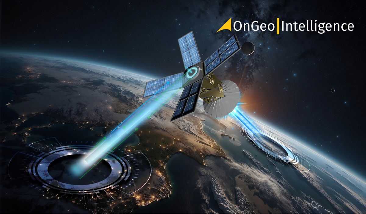
Passive and active Earth observation satellites
Among the different types of sensors monitoring the Earth from satellites the most important distinction can be drawn between optoelectronic and radar satellites.
- The optoelectronic satellites are equipped with passive sensors in many ways similar to cameras that we use every day taking pictures with our smartphones. This type of satellites need sunlight. When the Sun illuminates the Earth surface some of the star’s light is absorbed on the planet and some of it is reflected back to space. This phenomenon allows the cameras on so called passive EO satellites to do their job and take pictures. They are called passive as they do not have to emit any light or radiation in order to work.
- On the other hand the radar satellites are called active. They emit their own electromagnetic signals which are then reflected by the features and obiects on the Earth’s surface and come back to the satellite. Analyzing the specifics of the returning signal enables to create the radar image of the scanned planet’s surface. Satellite imagery gathered by radar satellite is especially useful in monitoring the 3-dimensional changes in the observed AOI (Area Of Interest).
Radar Earth Observation satellites
Radar imaging satellites emit their own signals in the microvave range. Based on collecting those signals after being bounced from Earth the 3D image of the observed area might be built. Within the whole process the satellite’s sensor measures the time delay and intensity of the returned signal, allowing it to generate high-resolution images or gather data about surface features, structures, or even terrain changes.
Radar satellites: seeing through darkness and clouds
Radar satellites offer one crucial advantage over the optical ones. Being active and emitting their own signal they can acquire images day and night and even do it through the clouds. At the same time raw radar images need plenty of processing and are much more difficult to interpret. Working with them needs true expertise. Radar imagery is collected by Sentinel-1 satellites belonging to the European Copernicus EO constellation. The providers of commercial radar data are for instance: ICEYE, Capella Space, Umbra Space.
Optoelectronic imaging satellites: capturing visible light
Optoelectronic satellites primarily observe the Earth in the three spectral bands corresponding to the range of visible light: R, G, B (Red, Green, Blue). The images acquired in visible light look like traditional colourful photographs and are easy to interpret even for non-experts. Depending on the spatial resolution such images can be more or less detailed, enabling different kind of analyses. The very high resolution imagery might be so detailed to let the researcher or AI algorythms identify particular types of vessels, aircraft or vehicles.
Optical imagery is gathered for example by Sentinel-2 satellites. High resolution satellites can be found in the fleets of Airbus Defence & Space (Pleiades Neo) or Maxar Technologies (WorldView Legion).
Beyond visible light: multispectral and hyperspectral imaging
In fact most optoelectronic satellites look at our planet not only in R, G, B but also in other bands, and that is why we call them multispectral. For example cameras on Pleiades Neo satellites offer observation in bands like Red Edge, Deep Blue or Near Infrared (NIR). Observation carried out in the bands beyond visible light are used for example in agriculture. Thanks to them specialists may check the condition of the crops or determine indices like NDVI.
Hyperspectral Earth observation satellites are equipped with sensors that capture images across a wide range of the electromagnetic spectrum. Unlike traditional multispectral satellites, which record data in a few broad spectral bands, hyperspectral satellites capture even hundreds of narrow, spectral bands. Hyperspectral imaging allows for example to distinguish the materials from which the roofs of the buildings are made of in the particular town or village. The examples of hyperspectral satellites are Italian PRISMA (PRecursore IperSpettrale della Missione Applicativa) or German EnMAP (Environmental Mapping and Analysis Program).
Specialized orbital tools: Expanding Earth Observation capabilities
Innovative companies appearing in the New Space era offer even more focused tools dedicated to specific needs and problems. SatVu company based in London is working on thermal EO satellites equipped with thermal infrared sensors capable of detecting differences in temperature. Their sensors measure the amount of heat emitted by objects on Earth, allowing for temperature mapping and monitoring. Future high resolution imagery from SatVu will help scientists observe phenomena like for example urban heat islands.
The other interesting example is the GHGSat company. Their orbital infrastructure is capable of detecting and measuring greenhouse gas (GHG) emissions – mostly methane and carbon dioxide from industrial and other sources. GHGSat satellites use spectroscopy. They sensors measure how different gases absorb sunlight at specific wavelengths and though are able to observe the emissions of those gases.
Something completely different is done by satellite radio monitoring companies like for example US based HawkEye 360. Their orbital sensors monitor radio frequency (RF) signals on Earth’s surface. Having their satellites travelling in the clusters of three devices HawkEye 360 is able to not only determine the frequency of particular emission but also the activity’s location.
Synergy and complementarity instead of competition
Some might think that either otpical or radar Earth Observation Satellites is much better than the other one. Of course each of them has got its advantages and disadvantages. In general we should remember that either optical or satellite will be better in different use cases. However, the best results might be achieved by combining the data from radar and optical sensors. This can give the scientist or military intelligence officer the widest view of the particular AOI, especially if enriched with insights from other terrestrial sources like for example news headlines or even social media threads.