Logo of OnGeo™ Intelligence

Blog

2025-02-17
~ 3 min
(Article updated: 2025-02-17)
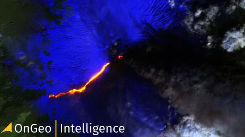
The latest satellite images reveal the scale of Mount Etna’s eruption on February 16–17, 2025. This article analyzes terrain changes, the eruption’s impact on the environment and settlements, and the importance of satellite data in monitoring volcanic activity. Discover how modern technology helps predict hazards and minimize the effects of natural disasters. Check out the full analysis based on satellite imagery!
2025-02-14
~ 6 min
(Article updated: 2025-02-14)
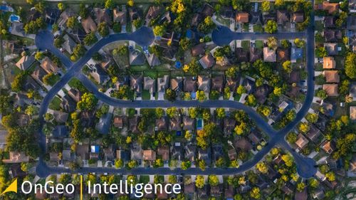
Satellite imagery reveals dynamic urban transformations, showcasing changes in infrastructure, green spaces, and city planning. By analyzing past and present images, we can track development, assess environmental impact, and understand how cities evolve over time
satellite bird eye view
2025-02-07
~ 5 min
(Article updated: 2025-02-07)
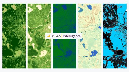
Modern investment planning relies on advanced tools like satellite analysis. High-resolution satellite imagery, enhanced by AI and machine learning, allows for precise assessment of land potential. Multispectral sensors detect environmental risks, soil composition, and water presence, helping investors optimize land use and reduce investment risk. Applications include urban planning, transport infrastructure, photovoltaic farms, and natural resource exploration.
Payment operators:
Logo of Stripe
Logo of Visa
Logo of Master Card