
How to Find & Order Satellite Images with Ongeo Intelligence?
Have you ever wondered what your plot of land looks like from a bird's eye view? Or maybe you're planning to build a house and want to check the area? With satellite images, you can quickly and conveniently see what the area you're interested in looks like. In this article, we'll show you step by step how to find up-to-date satellite images using OnGeo Intelligence - without complicated tools and without having to download additional software.
Why Use Satellite Images?
Satellite images are photographs of the Earth's surface taken by satellites orbiting our planet. They allow for:
- terrain analysis,
- monitoring of changes over time,
- evaluation of specific plots of land.
Thanks to them, you can make informed decisions related to real estate, environmental protection, or agriculture.
Where to find satellite images?
Access to satellite images has never been easier! With OnGeo Intelligence, you can check the image of any place on the map in a few moments. This tool is ideal for landowners, investors and anyone who wants to see their land from a satellite perspective.
How to find satellite images? - On our website
Obtaining Satellite Imagery on the OnGeo™ Intelligence portal is very simple and consists of several steps:
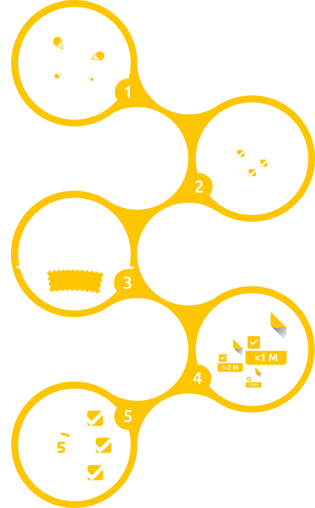
- Access the OnGeo Intelligence Platform – visit the official website.
- Define the Location and timeframe of interest – specify the geographic area and timeframe of interest.
- Automatic Archive Search – the system identifies and retrieves all available satellite imagery matching the selected criteria.
- Select and Order the Report – review the images and proceed to place an order for the most relevant data.
- Receive the Results – a PDF report is delivered via email within 5 minutes, while high-resolution images are provided within 48 hours.
This seamless workflow eliminates the need for specialized software, making satellite imagery more accessible to all users.
You can learn more detailed instructions by watching our video "How to Find Satellite Images"?:
Tip: If you want to check different periods of images, pay attention to the available dates of images. It may turn out that earlier images will provide valuable information about changes in the area!
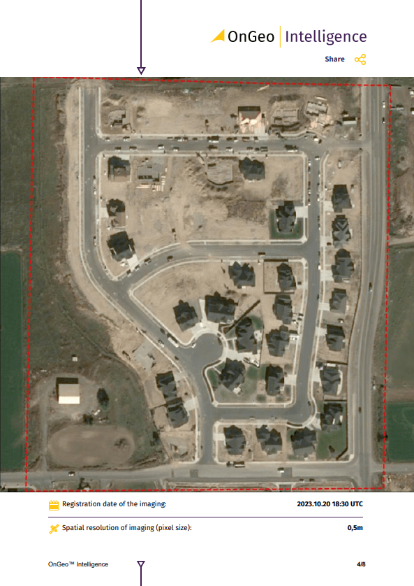
Check out what our sample report looks like!
Why Use OnGeo Intelligence to Find Satellite Images?
- Accessible to Everyone – The platform is designed for users without specialized knowledge, making it intuitive and easy to use.
- High-Resolution Images – Data available with resolutions up to 30 cm, sourced from top providers like Airbus and Maxar.
- Global Coverage – Check any location worldwide.
- No Subscriptions or Commitments – Order reports only when needed, without long-term contracts.
Learn more about: Satellite Imagery Report

Example Applications of the OnGeo Intelligence Report
- Real Estate Purchase – Check how the land has changed over time, whether floods or illegal constructions have occurred.
- Insurance – Assess actual damage conditions and justify claims.
- Environmental Protection – Track ecological changes over time.
- Agriculture – Analyze crop health and optimize land management.
- Legal Disputes – Provide hard evidence in boundary disputes.
- Construction – Monitor progress, verify unauthorized buildings.
OnGeo Intelligence is a useful tool that provides an easy way to search and analyze satellite imagery for any location. The search engine allows you to quickly share data, its quality, and perform comparisons over time.
Where Else Can You Find Satellite Images?
If you're interested in free sources of satellite images, consider:
- Google Earth Pro – an intuitive tool for viewing images.
- Sentinel Hub EO Browser – offers access to data from Sentinel and Landsat missions.
- NASA Earthdata Search – a vast database of scientific data with the ability to download historical and current images.
Conclusion
OnGeo Intelligence is a tool that allows for quickly finding satellite imagery for any location. Thanks to the simple process of ordering reports, you can obtain high-quality data without unnecessary complications. Check out what a sample report looks like and see how it can benefit you or your company!