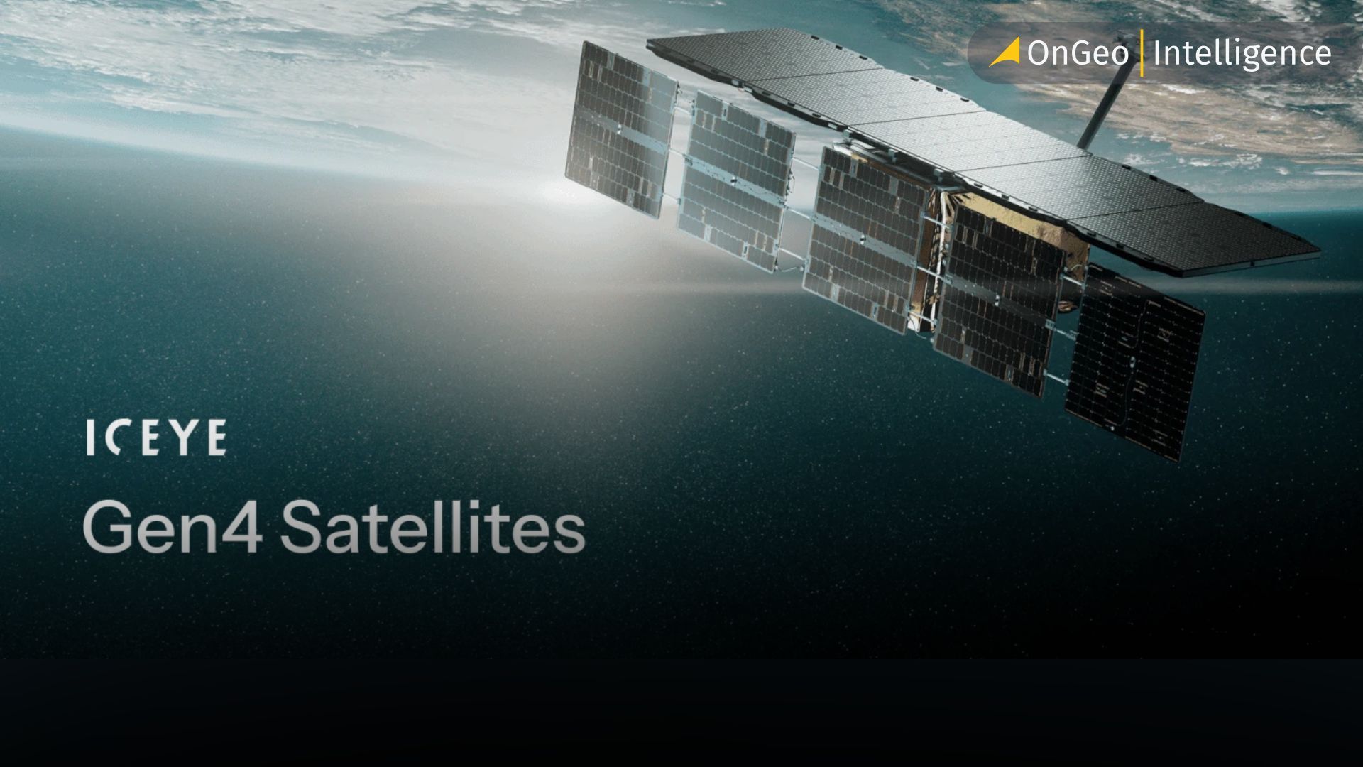
ICEYE Gen4: Satellites That See the World in 16 cm Detail
A new milestone has just been reached in remote sensing and Earth observation. ICEYE, the Polish-Finnish space company, has officially made its fourth-generation (Gen4) radar satellites available for commercial use. These satellites, launched earlier this year, bring a leap in speed, resolution, and coverage that is set to reshape how governments, defense organizations, and intelligence agencies monitor events around the globe.
A breakthrough in radar imaging
The Gen4 satellites push the limits of Synthetic Aperture Radar (SAR) technology, delivering imagery at a resolution of up to 16 cm – currently the sharpest detail available on the commercial market. The high-resolution field of view has been expanded from 150 km to 400 km, allowing operators to capture far more images in a single orbital pass and gather critical data from priority areas much faster.
With their design tailored for deployment in large constellations, the satellites dramatically increase imaging throughput. Revisit times can be cut to less than 15 minutes, giving users near-real-time awareness of fast-moving situations. For security, defense, and intelligence operations, this level of responsiveness offers a decisive advantage.
Key capabilities of Gen4
Each satellite is capable of producing up to 500 images per day, with around half of them covering swaths as wide as 2,000 km during a single pass. Another major upgrade is the ability to image and downlink data simultaneously, at speeds of up to 700 Mbps. This makes it possible to task, capture, and deliver data all within the same pass, bringing operators significantly closer to live monitoring.
A larger and more powerful antenna further enhances image quality, producing sharper details and a stronger signal. This improvement directly supports advanced analytics such as ICEYE’s Detect & Classify system, which combines SAR imagery with artificial intelligence to automatically identify ships, aircraft, and vehicles with very high accuracy.
Governments gain access to Gen4 as a fully sovereign capability, independent of ITAR restrictions. ICEYE provides the satellites as a complete, secure solution – including ground infrastructure, operator training, and ongoing software upgrades – and can have the system fully operational within 12 months of purchase.
From launch to operation
The first Gen4 satellites were deployed during SpaceX’s Transporter-13 mission in March 2025. With 54 satellites already in orbit, ICEYE operates the largest commercial SAR constellation in the world, and Gen4 sets a new benchmark for what radar imaging can achieve. The expanded coverage makes it possible to monitor vast areas – from naval formations to border regions – within a single pass, while revisit times remain short enough to track time-sensitive developments effectively.
Implications for Global Security and Intelligence
Gen4’s capabilities are particularly valuable in defense, security, and disaster response, where timely and precise information can make the difference between effective action and delayed reaction. By combining high-resolution imaging with rapid data delivery, ICEYE is positioning itself at the forefront of global remote sensing.
As demand for real-time, high-quality Earth observation continues to grow, Gen4 satellites are poised to play a central role in providing sharper insights and improving decision-making across the globe.
Gen4 at a glance – what sets it apart
Ultra-high resolution – commercial SAR imagery down to 16 cm.
Expanded coverage – 400 km field of view, more than double the previous generation.
High throughput – up to 500 images captured per satellite every day.
Near-real-time access – revisit times under 15 minutes and simultaneous downlink at 700 Mbps.
Scalable deployment – designed for large constellations, operational in under 12 months.
AI-powered insights – enhanced image quality for automatic detection and classification of ships, aircraft, and vehicles.
Related articles
- Free Maxar Imagery: Take Part in the OnGeo Promotion and Get Very High Resolution Satellite Images for Free
- Copernicus Sentinel-4 Mission Launched: A New Era for Air Quality Monitoring in Europe
- How to Master Satellite Image Analysis: A Beginner's Step-by-Step Guide
- The best satellite imagery providers: a comparison guide
- How Satellite Earth Observation Is Powering the Future of Solar Energy