
Why Accuracy Matters in High-Resolution Satellite Imagery
Accurate geospatial data is a cornerstone of industries such as oil and gas, urban planning, disaster management and infrastructure development. High-resolution satellite imagery plays a critical role in providing this data, enabling organizations to make informed decisions and improve operational efficiency. However, the true value of satellite imagery is not only its spatial resolution but also its positional accuracy—a measure of how precisely the imagery represents real-world locations. This article delves into what positional accuracy is, why it matters and how it is measured using the Circular Error 90% (CE90) metric.
Understanding Positional Accuracy in Satellite Imagery
Positional accuracy in satellite imagery refers to how closely the geographic coordinates of a feature in an image match its actual location on Earth. In essence, it determines how reliable the imagery is for tasks requiring exact measurements, such as infrastructure development or regulatory compliance. For instance:
in the oil and gas sector, ensuring that drilling sites comply with regulated distances from existing infrastructure is crucial to avoid legal fines and operational setbacks. Similarly, accurate geospatial data is indispensable
during emergencies, where timely and precise information can save lives and resources.
High-resolution imagery providers like Maxar Technologies emphasize the importance of positional accuracy by offering products with clearly stated accuracy specifications. For example, the WorldView-3 satellite boasts a CE90 accuracy of less than 5 meters. This means that 90% of the points in the imagery are within 5 meters of their actual ground positions—a remarkable feat given the satellite orbits Earth at an altitude of over 600 kilometers. This level of precision is especially vital in remote areas where ground verification is challenging and costly.
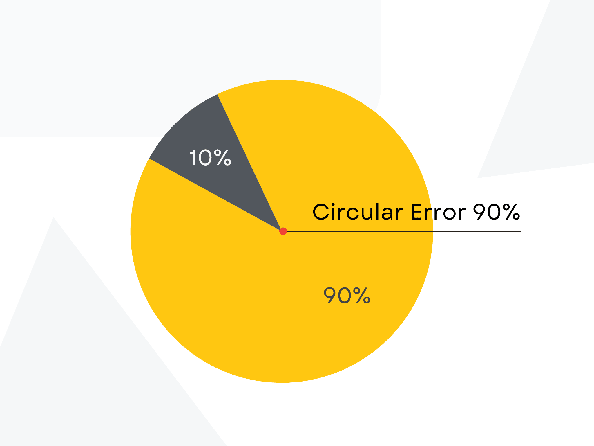
How Positional Accuracy is Measured: Circular Error 90% (CE90)
To understand how positional accuracy is assessed, it’s essential to explore the Circular Error 90% (CE90) metric. CE90 is a statistical measure that indicates the radius within which 90% of the measured points fall from their true positions. It provides a clear and standardized way to evaluate the horizontal accuracy of satellite imagery.
For instance, in Maxar’s WorldView-1 and WorldView-2 satellites, CE90 tests revealed horizontal accuracies of 4.0 meters and 3.5 meters, respectively—well within their specifications. These results demonstrate the reliability of such data for applications that demand precision.
Why Positional Accuracy Matters?
The importance of positional accuracy extends beyond theoretical benefits. In practice, it minimizes risks, reduces costs and ensures compliance with regulatory standards. Here are some practical scenarios where positional accuracy proves indispensable:
- Asset Monitoring: Industries like oil and gas rely on accurate geospatial data to track the placement of infrastructure and monitor compliance with safety regulations.
- Emergency Response: In the event of natural disasters like floods or wildfires, precise geospatial data enables rapid and effective emergency response, helping mitigate damage and save lives.
- Urban Development: Accurate imagery is critical for planning infrastructure projects, ensuring efficient land use and avoiding costly errors during construction.
Enhancing Accuracy Through Ortho-Rectification
Satellite imagery undergoes additional processing, such as ortho-rectification, to improve positional accuracy. Ortho-rectification corrects geometric distortions caused by the Earth’s curvature, terrain variations, and the satellite’s viewing angle. This process aligns imagery with a specific map projection, ensuring each pixel corresponds to its true location on the ground. Digital Elevation Models (DEMs) are often used in this process, and incorporating high-quality Ground Control Points (GCPs) can further enhance accuracy.
Positional accuracy is the backbone of reliable high-resolution satellite imagery, transforming it from a visual tool into a decision-making asset. Metrics like CE90 ensure transparency and consistency, allowing industries to leverage geospatial data with confidence. As satellite technology advances, the importance of positional accuracy will only grow, empowering organizations to tackle complex challenges in a rapidly changing world. For those who depend on precision, the commitment of providers like Maxar to delivering accurate geospatial solutions represents a significant step forward in the evolution of satellite imaging.
Explore how OnGeo Intelligence enhances geospatial accuracy for various applications
Who are OnGeo Intelligence Satellite Image Reports for?
- Anyone looking to get an up-to-date view of their property or land.
- Investors wanting to monitor changes in their investment areas.
- Farmers optimizing production with precise land analysis.
- Anyone needing evidence for damages, disasters, or other incidents.
Download a sample report:
Related articles
- Maxar Technologies: An Overview of Satellite & Geospatial Solutions
- Airbus Satellite Imagery for Earth Observation
- Earth Observation: How Satellite Views of Your House Are Now at Your Fingertips
- Pansharpening: The Secret to Sharper, More Detailed Satellite Images
- A List of Earth Observation Satellites & Optical Parameters