2025-04-10
~ 4 min
(Article updated: 2025-04-10)
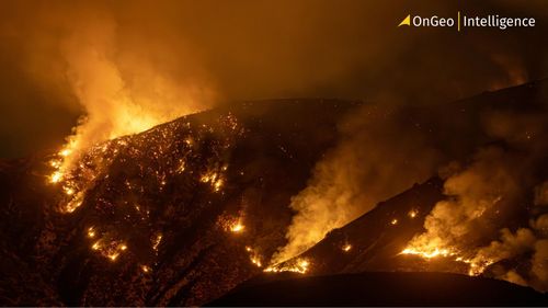
In March 2025, South Korea faced one of the most destructive wildfire outbreaks in its history. Sentinel-2 satellite imagery using SWIR and NIR channels reveals the extent of the 170,000-hectare disaster, with regions near Andong, Uiseong, and Yeongyang severely affected.
Read more