2026-03-19
~ 6 min
(Article updated: 2026-03-19)
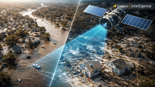
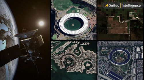
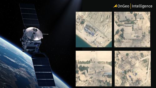
The Silent Witness Modern satellite constellations from the high-revisit cadences of Planet Labs to the sub-meter precision of Maxar operate beyond the reach of terrestrial censorship. They provide a persistent, objective ledger of physical reality. While state television may offer silence or denial, the infrared and optical sensors in orbit capture the undeniable: Thermal signatures revealing the activation of underground facilities.
Read more