Blog

London Satellite Map
2025-07-01
~ 4 min
(Article updated: 2025-07-01)
Download the London Satellite Map – Free Printable PDF Format The definitive London Satellite Map is ready for download. Researchers, urban planners, tourists and anyone with an interest in the UK's capital can access this aerial view that shows London's unique urban landscape, green spaces, and the Thames river's path. 📥 [ Download Satellite Map of London – PDF, 49.7 MB ] Latest Sentinel-2 satellite imagery from 2024 forms the foundation of this professional-grade map.
Read more
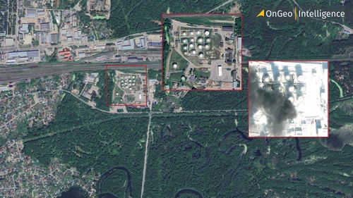
Israeli Strikes on the Natanz Nuclear Facility as Seen on Satellite Imagery
2025-06-13
~ 3 min
(Article updated: 2025-06-13)
Israel launched a large-scale preemptive strike on Iran, targeting the Natanz nuclear facility and other strategic sites. Satellite images reveal massive damage. Top Iranian commanders and scientists confirmed dead as both nations brace for escalation.
Read more
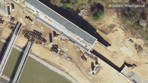
Satellite photos as evidence in the case
2025-06-10
~ 6 min
(Article updated: 2025-06-10)
Discover how satellite photos from OnGeo Intelligence revolutionize legal disputes. From boundary conflicts to divorce settlements, our high-resolution satellite imagery provides objective, timestamped evidence to strengthen your case. Learn real-world examples of how clients use satellite photographs to resolve land disputes, verify property conditions, and uncover illegal land use, all delivered in court-ready reports.
Read more
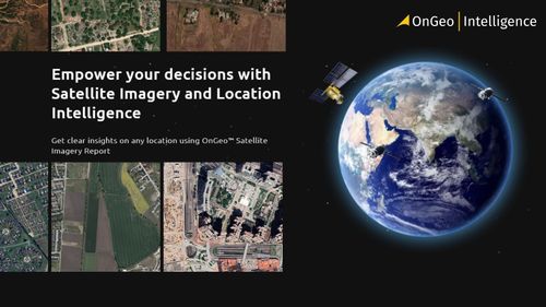
Planet Earth viewed from space with orbiting satellites, illustrating satellite imagery technology and global data access.
2025-06-09
~ 5 min
(Article updated: 2025-06-09)
Navigating satellite imagery providers? This guide compares leading commercial and free data sources. Learn how OnGeo Intelligence makes finding the right satellite data easier than sifting through multiple platforms.
Read more
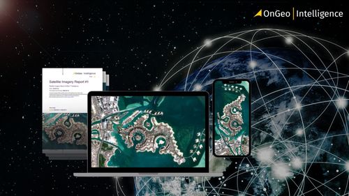
 Satellite imagery showing a bay.
2025-06-06
~ 5 min
(Article updated: 2025-06-06)
Not sure how to select satellite data? This guide breaks down essential factors: what you want to monitor, required update frequency, area size, spatial and spectral resolution, and data processing levels. Learn to choose the best satellite images.
Read more
Deforestation of the Amazon from space - How are satellite reports portraying it
2025-06-05
~ 6 min
(Article updated: 2025-06-05)
The Amazon rainforest, often called the "green lungs of the Earth," plays a vital role in regulating the global climate and supporting rich biodiversity. Yet, this irreplaceable ecosystem is rapidly deteriorating due to relentless deforestation. Each year, satellite images reveal expanding patches of degraded forest, highlighting the urgent need for global action.
Read more