2026-05-21
~ 7 min
(Article updated: 2026-05-21)
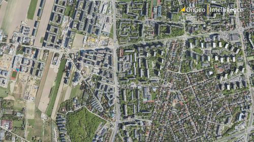
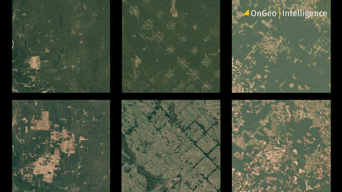
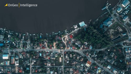
High-resolution satellite imagery helps urban planners monitor land use, track city growth, assess infrastructure, and support sustainable development. By analyzing current and historical satellite data, cities can improve zoning decisions, environmental monitoring, resilience planning, and long-term urban management.
Read more