2025-11-12
~ 6 min
(Article updated: 2025-11-12)
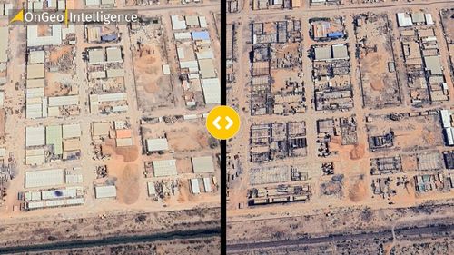
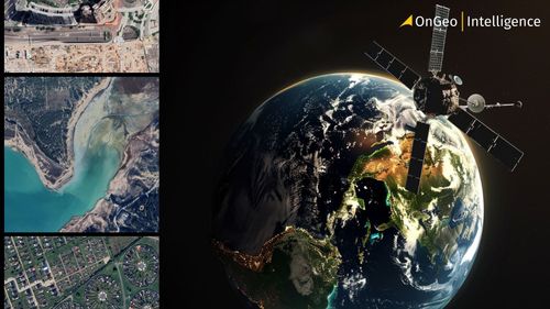
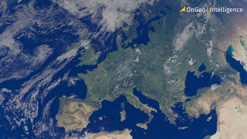
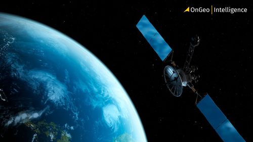
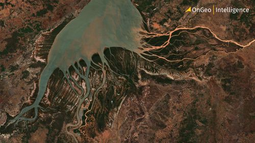
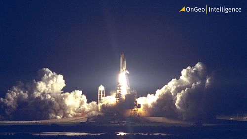
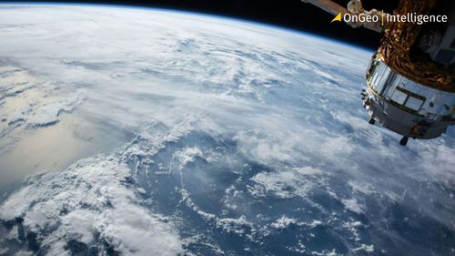
Satellites and remote-sensing technologies are revolutionizing how we observe and understand our planet. This glossary breaks down essential terms - from NDVI and SAR to LEO orbits and Sentinel satellites-making it easier to navigate the world of Earth observation, geospatial analysis, and AI-powered mapping.
Read more