2025-12-19
~ 7 min
(Article updated: 2025-12-19)
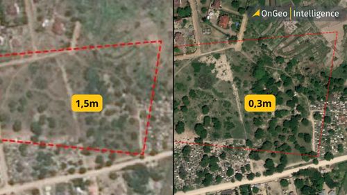
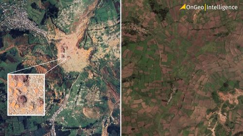
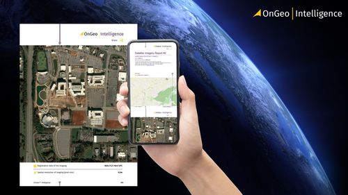
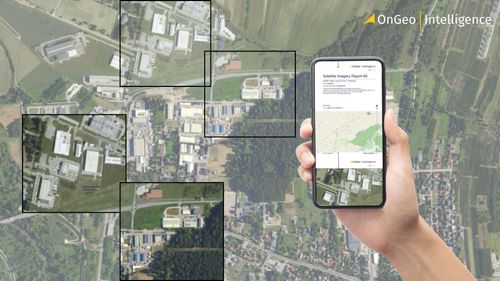
Discover how frequently Google Maps updates its satellite imagery and why it may not meet the needs of time-sensitive projects. Learn alternatives for accessing fresh, high-resolution data on demand.
Read more