2025-02-20
~ 3 min
(Article updated: 2025-02-20)
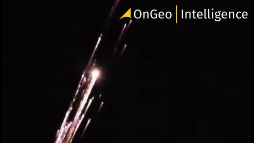
A dramatic fireball lit up the skies over Northern Europe as debris from a SpaceX Falcon 9 rocket made an uncontrolled reentry over Poland. The incident raised concerns about space debris and was closely monitored by European space agencies.
Read more