What is GEOINT? The Power and Limits of Geospatial Intelligence in the Modern World
Geospatial Intelligence, or GEOINT, is transforming how governments, businesses and humanitarian organizations see and understand the world. From military operations and climate response to smart city planning, GEOINT connects data, imagery and location to deliver powerful, location-based insights.
What is Geospatial Intelligence (GEOINT)?
But what exactly is GEOINT, and what are its capabilities and limits in today’s data-driven world?
In simple terms, GEOINT (Geospatial Intelligence) refers to the collection, processing, analysis and visualization of data linked to specific geographic locations. It helps describe and assess both natural features and human activities on Earth.
Originally rooted in the military domain and defined in U.S. law under Title 10, GEOINT has since evolved into a much broader and more dynamic discipline. Today it includes satellite and aerial imagery, radar data, thermal and multispectral imaging, social media posts with geotags, sensor feeds and open-source data.
All of these elements are brought together through GIS platforms, remote sensing tools and advanced analytics to produce meaningful, real-time intelligence.
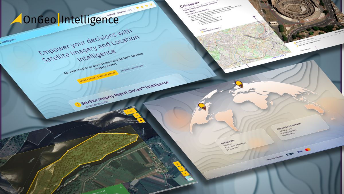
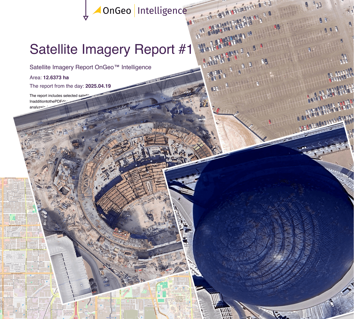
At OnGeo Intelligence, we apply these same GEOINT principles to provide accessible, data-driven insights to the public and private sectors. Our services, including the Satellite Imagery Report, combine satellite data, cloud analytics and geospatial visualization to make complex spatial information easy to interpret and use.
Integrating Multiple Intelligence Sources
One of GEOINT’s biggest strengths lies in its ability to integrate insights from multiple intelligence domains, such as imagery intelligence (IMINT), signals intelligence (SIGINT), measurement and signature intelligence (MASINT), and even human intelligence (HUMINT), as long as the data can be geolocated.
The result is a unified, spatially aware picture of any situation: a battlefield, a disaster zone or a commercial market. This integration allows analysts to understand not only what is happening, but also where, when and why.
How GEOINT Works: From Data to Insight
Geospatial Intelligence is both a process and a product.
It starts with raw data collected from satellites, drones or ground-based sensors. That data is then processed into geospatial information: maps, elevation models or 3D visualizations, and finally interpreted to generate actionable geospatial knowledge.
This knowledge answers spatial questions like what is happening, where it’s happening, and increasingly why it’s happening.
Modern GEOINT relies on a close partnership between humans and machines. Analysts use AI-powered tools for image classification, object detection and pattern recognition, while human judgment remains essential for interpreting anomalies, layering data sources and forecasting intent.
Real-World Examples of GEOINT in Action
The best-known applications of GEOINT are found in the defense sector. During the operation to eliminate Osama Bin Laden, analysts used satellite imagery, 3D models and detailed mapping of human terrain to locate his compound in Abbottabad. GEOINT allowed planners to simulate the raid in advance and integrate multiple forms of intelligence into one operational picture.

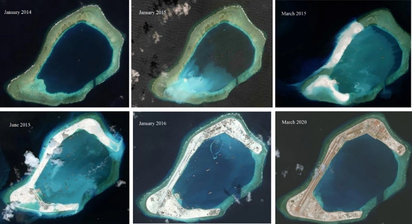
Another example is the use of satellite imagery to expose China’s island-building projects in the South China Sea – helping analysts assess long-term strategic goals and territorial ambitions.
GEOINT is also indispensable in disaster response. After Hurricane Katrina, geospatial data helped teams map flooded areas, identify high-risk zones and prioritize rescue missions. Similar methods are used during wildfires, earthquakes and floods, helping responders navigate blocked routes, assess damage and locate survivors.
Civil and Commercial Applications
Outside the military, GEOINT has become a vital tool across many industries.
Agriculture: Satellite monitoring tracks crop health and predicts yields.
Urban planning: Geospatial data supports smart city design, transport optimization and infrastructure management.
Real estate: Analysts use GEOINT to evaluate property value by combining demographic, infrastructural and environmental data.
Telecommunications: Companies rely on spatial analysis to plan cell tower locations and optimize coverage.
Energy: Drone and satellite imagery help monitor pipelines and prevent environmental risks.
Marketing and retail: Businesses use location-based data to study consumer behavior and improve targeting.
Tomas Fin - OGI GIS Analyst
At OnGeo Intelligence (OGI), we bring GEOINT down to an accessible, user-friendly level through our Satellite Imagery Report service. The report delivers up-to-date satellite maps and insights for any location worldwide – supporting urban planners, landowners, researchers and journalists who need to visualize change over time. Whether tracking urban expansion, assessing environmental risks or verifying construction progress, Satellite Imagery Reports translate complex geospatial data into actionable intelligence.
Advantages of GEOINT
GEOINT offers a range of benefits:
It enhances situational awareness by merging multiple data sources into one spatial context.
It supports faster and more informed decision-making, whether for military missions, emergency response or investment planning.
Its visual outputs – maps, dashboards and simulations, are intuitive and easy to interpret.
Thanks to AI, cloud computing and modern satellite systems, GEOINT can now handle vast data streams in near real-time, allowing analysts to monitor changes as they happen.
Limitations and Challenges of GEOINT
Despite its strengths, GEOINT faces several limitations:
Data overload: With sensors generating terabytes of data, filtering out noise requires both skill and computing power.
Technical barriers: Specialized tools and expertise are often needed to process and visualize complex datasets.
Environmental factors: Cloud cover, poor lighting or sensor errors can reduce data quality.
Infrastructure dependency: GEOINT relies on stable satellite and digital networks that may fail or be disrupted in crisis zones.
Human bias: Analysts can misinterpret data or overlook subtle patterns.
Ethical concerns: The use of private location data or large-scale surveillance raises serious privacy questions.
These challenges highlight that GEOINT, while powerful, is not infallible.
The Future of Geospatial Intelligence
The outlook for GEOINT is highly promising.
Machine learning and AI continue to automate many analytical processes – from image classification to anomaly detection. The rapid growth of commercial satellite constellations is making high-resolution imagery more accessible than ever.
Cloud-based platforms and open-source tools are allowing real-time geospatial analysis across sectors. The rise of digital twins, virtual models of real-world environments, enables cities and companies to simulate future scenarios with precision.
As spatial data becomes central to global decision-making, GEOINT is no longer just a military asset. It’s becoming a key driver of sustainable development, climate resilience and economic planning.
Conclusion
GEOINT represents a powerful fusion of data, technology and human insight. By linking information to physical space, it allows us to understand not only what is happening, but also where and why.
From identifying military targets to building greener cities, Geospatial Intelligence turns location into action.
At OnGeo Intelligence, our mission is to make GEOINT accessible to everyone. Through services like the Satellite Imagery Report, we empower users to explore the planet’s surface, monitor change, and make better, data-informed decisions.
As the world becomes more data-driven and interconnected, GEOINT – and the tools that support it – will remain essential for understanding and managing the challenges of our planet.
Related articles
- Detecting Unregistered Properties with AI & Satellite Imagery
- Discovering the Past from Space: How Satellite Remote Sensing Is Transforming Archaeology?
- From space tech to your smartphone: the rise of satellite photos for everyone
- Free Satellite Imagery Providers: Compare and Choose the Best Option
- How Satellite Imagery Improves Crisis Management and Disaster Response
- How to Find & Order Satellite Images with Ongeo Intelligence?
- Hyperspectral imaging: a new era for earth observation
- When Satellite Images Lie: The Rise of Deepfake Geography
- What Is Satellite Imagery? A Complete Beginner’s Guide