How Satellite Imagery Supports Forest Management
Forests play a critical role in regulating climate, preserving biodiversity, and supporting livelihoods, yet managing them effectively across large and often remote areas remains a major challenge. Traditional ground-based monitoring methods are time-consuming, expensive, and limited in scale.
Satellite technology has transformed forest management by providing consistent, large-scale, and repeatable observations of forest conditions. Through satellite imagery, forestry agencies, conservation organizations, and land managers can monitor forest cover, detect changes over time, assess forest health, and respond more quickly to threats such as deforestation, illegal logging, wildfires, and disease outbreaks.
By integrating satellite data into forest management workflows, stakeholders gain a clearer, data-driven understanding of forest dynamics enabling more sustainable resource management and informed decision-making.
How Satellite Imagery Supports Forest Management
Satellite imagery provides forest managers with a comprehensive, large-scale view of forest ecosystems that is difficult to achieve through ground surveys alone. By capturing frequent and consistent observations, satellites enable continuous monitoring of forests across vast and often inaccessible regions.
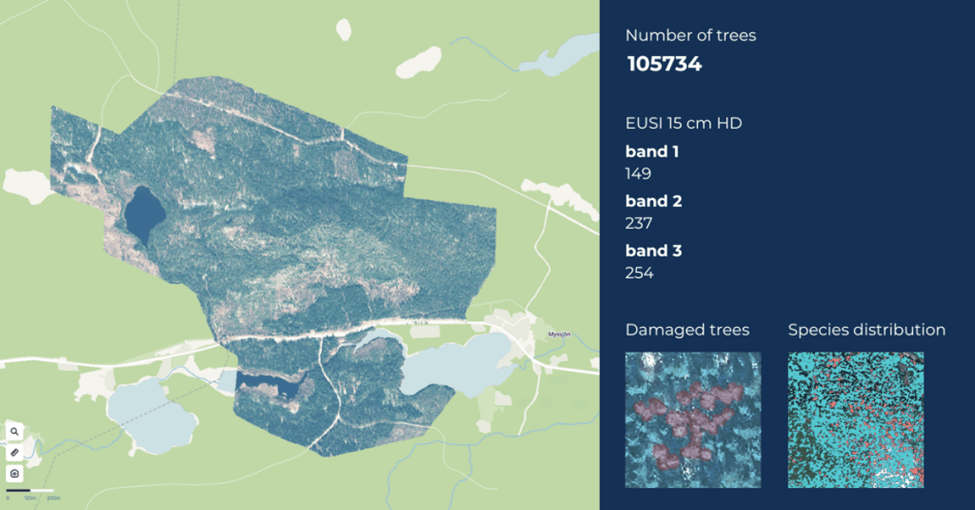
One of the primary uses of satellite imagery in forest management is forest cover mapping. High- and medium-resolution images help identify forested areas, track changes in canopy extent, and distinguish between natural forests, plantations, and cleared land. This supports accurate forest inventories and long-term planning.
Satellite data also enables change detection over time. By comparing imagery from different dates, managers can identify deforestation, degradation, or regrowth trends. Time-series analysis helps distinguish between seasonal variations and permanent land-use changes, allowing for early detection of unauthorized logging or encroachment.
Another key benefit is vegetation health monitoring. Spectral indices such as NDVI provide insights into canopy density, photosynthetic activity, and overall forest health. These indicators can reveal stress caused by drought, pests, disease, or soil degradation before visible damage appears on the ground.
Finally, satellite imagery supports decision-making at scale. Forest authorities, conservation organizations, and policymakers can use satellite-derived insights to prioritize field inspections, allocate resources more efficiently, and design sustainable forest management strategies based on objective, up-to-date data.
Monitoring Deforestation and Forest Degradation
Monitoring deforestation and forest degradation is one of the most critical applications of satellite imagery in forest management. Satellites provide consistent, repeatable observations that make it possible to detect forest loss and degradation early, even in remote or politically sensitive regions.
Deforestation detection relies on comparing satellite images over time to identify areas where forest cover has been permanently removed. High-resolution imagery can reveal clear-cutting, road construction, mining expansion, or agricultural encroachment, while medium-resolution data supports regional and national-scale forest loss assessments.
Forest degradation, which includes selective logging, canopy thinning, and gradual ecosystem decline, is often harder to detect from the ground. Satellite-based analysis helps identify subtle changes in canopy structure, vegetation density, and surface reflectance. Time-series analysis is especially effective at distinguishing short-term seasonal changes from long-term degradation trends.
Bolivia Amazon deforestation 1984 vs 2020. Source: OnGeo Intelligence
This time-lapse of the São Domingos, created from satellite imagery, shows the relentless pace of deforestation.
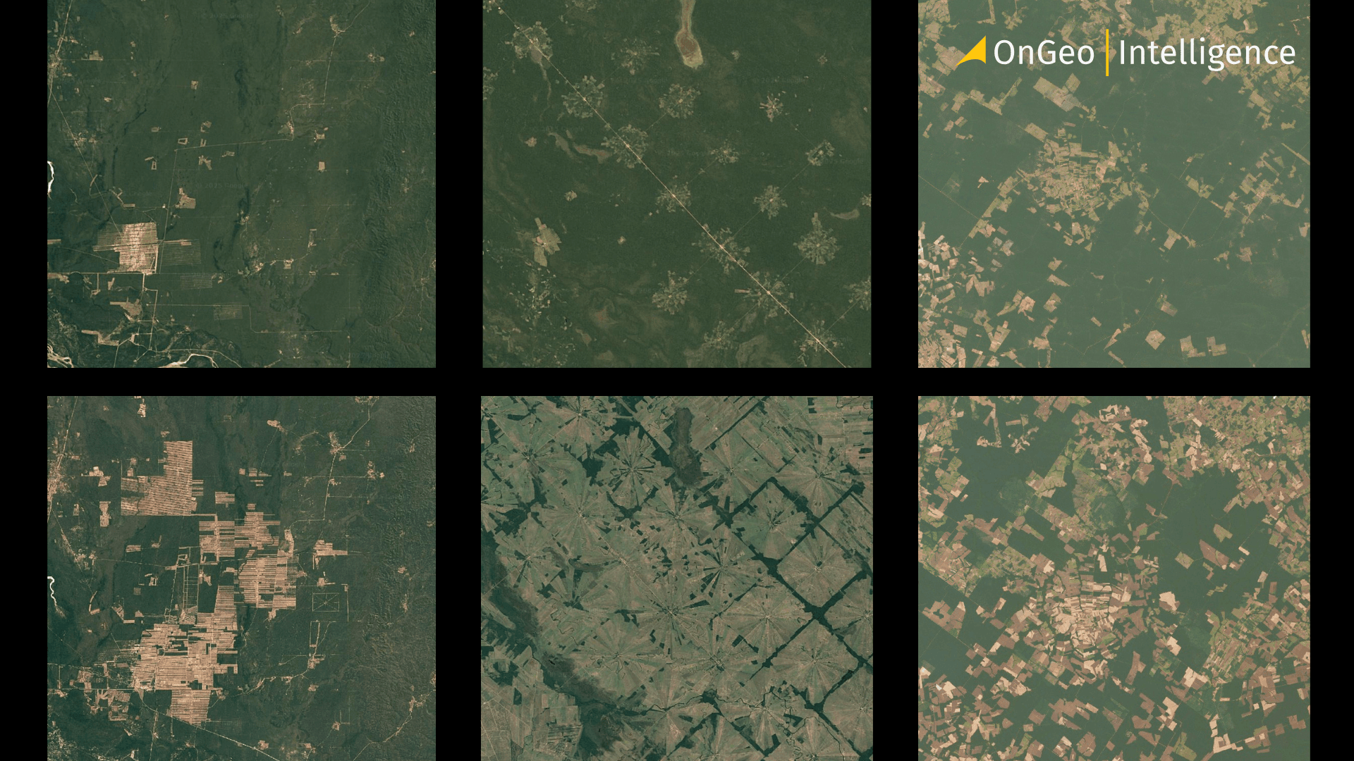
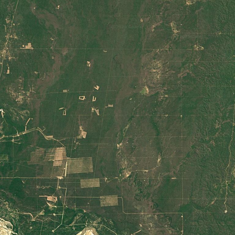
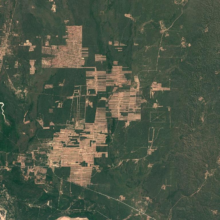
Deforestation due to rubber plantations
Spectral indices such as NDVI and NBR (Normalized Burn Ratio) are commonly used to assess vegetation health and disturbance. Declining index values over time can signal stress caused by logging, fire damage, or prolonged drought, enabling forest managers to intervene before degradation becomes irreversible.
By integrating satellite monitoring into forest governance workflows, authorities can improve transparency, support enforcement efforts, and verify compliance with conservation regulations. Satellite evidence also plays a growing role in carbon accounting, sustainability reporting, and international climate initiatives aimed at reducing deforestation and forest degradation.
Forest Health and Vegetation Monitoring
Beyond tracking forest loss, satellite imagery plays a vital role in monitoring overall forest health and vegetation condition. Healthy forests show consistent canopy cover, stable vegetation indices, and predictable seasonal patterns, all of which can be observed and analyzed from space.
Satellite-based vegetation monitoring uses spectral information to assess canopy density, leaf chlorophyll content, and plant vigor. Indices such as NDVI, EVI (Enhanced Vegetation Index), and LAI (Leaf Area Index) help identify areas experiencing stress due to drought, pests, disease, or nutrient deficiencies. Early detection allows forest managers to respond before damage spreads across large areas.
Time-series satellite data is especially valuable for distinguishing temporary stress (such as seasonal dry periods) from long-term forest decline. Gradual reductions in vegetation index values may indicate chronic issues like soil degradation, invasive species, or climate-related impacts, while sudden drops can signal fires, storms, or illegal logging activity.
Wildfire Risk and Post-Fire Assessment
Wildfires are one of the most significant threats to forest ecosystems, infrastructure, and nearby communities. Satellite imagery plays a critical role in both wildfire risk assessment and post-fire impact analysis, offering timely, large-scale visibility that is difficult to achieve through ground-based methods alone.
Wildfire Risk Monitoring
Satellite data identifies high-risk wildfire areas by tracking vegetation dryness, fuel load, and temperature anomalies. Indices like NDVI highlight stressed vegetation, while thermal sensors detect heat patterns and potential hotspots. Time-series analysis helps monitor seasonal trends, enabling preventive actions such as controlled burns and resource planning.
Post-Fire Damage Assessment
After a wildfire, satellite imagery quickly assesses burn extent, severity, and vegetation loss. Comparing pre- and post-fire data helps prioritize recovery areas. Burn severity indices guide restoration, while ongoing monitoring tracks regrowth and recovery progress.
Sustainable Forest Resource Management
Sustainable forest resource management aims to balance economic use of forest resources with long-term ecosystem health. Satellite imagery plays a key role in supporting this balance by providing continuous, objective data on forest conditions, usage patterns, and environmental change.
Monitoring Harvesting Activities
Satellite imagery enables forest managers to monitor timber harvesting activities over time, ensuring that logging follows approved plans and stays within designated boundaries. Time-series imagery makes it possible to detect unauthorized clearing, overharvesting, or deviations from sustainable rotation schedules.
Forest Regeneration, Carbon Monitoring, and Decision Support
Satellite monitoring after harvest tracks regrowth, canopy density, and plant health, helping identify areas needing intervention, guide species selection, and optimize planting schedules while reducing reliance on field surveys. It also supports climate initiatives by estimating carbon stocks and tracking changes for carbon offset reporting and sustainability commitments. Combining historical and current data provides long-term insight into forest dynamics, enabling better decisions on land use, conservation, and sustainable resource management.
How OnGeo Intelligence Supports Forest Monitoring Workflows
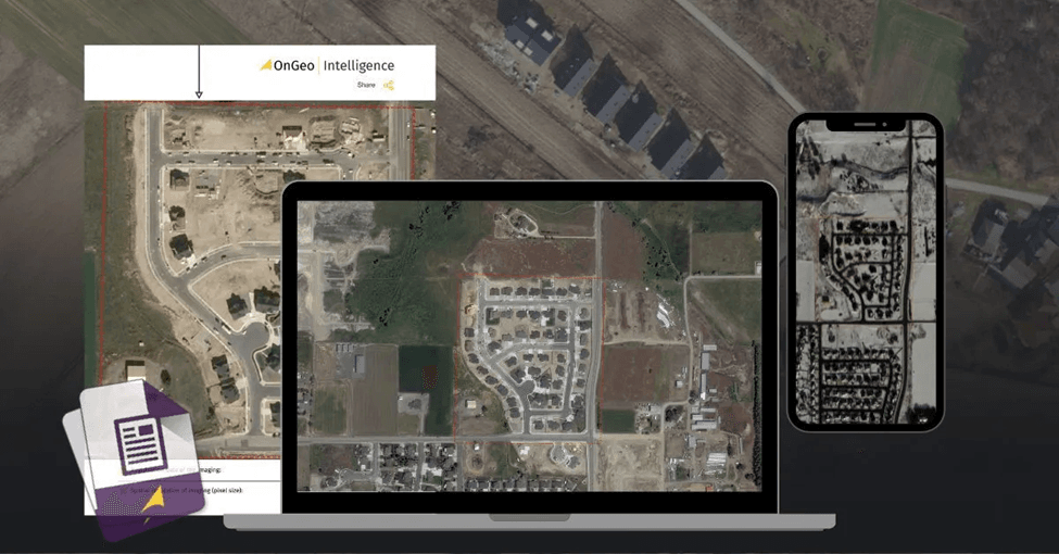
OnGeo Intelligence supports forest monitoring by simplifying access to satellite imagery and enabling consistent, repeatable analysis across large forested areas. Instead of relying on fragmented data sources or manual image searches, forestry teams can use OnGeo as a centralized entry point for Earth observation data.
Multi-Temporal Satellite Monitoring and Analysis
OnGeo Intelligence provides easy access to both historical and current satellite imagery for the same forest areas, enabling clear tracking of changes such as deforestation, degradation, and post-fire recovery. It supports large-scale monitoring across vast regions, reducing the need for costly ground inspections while allowing assessment of canopy changes, land use, and environmental impacts. By integrating vegetation-focused data, OnGeo helps identify forest loss, track regrowth and health trends, and detect gradual degradation not visible in single images, supporting more targeted inspections and conservation actions.
Why Satellite-Based Forest Management Matters
Forests play a critical role in climate regulation, biodiversity protection, and economic sustainability, yet they are often managed with limited, delayed, or incomplete information. Satellite-based forest management addresses this gap by providing timely, objective, and large-scale visibility into forest conditions that would otherwise be difficult or impossible to monitor from the ground.
Final Thoughts Early Detection, Efficiency, and Sustainable Forest Management
Satellite technology has transformed forest management by providing near real-time, large-scale visibility. It supports better decisions on deforestation, forest health, and wildfire impacts, and—combined with platforms like OnGeo Intelligence makes data easier to access and use. As environmental and regulatory pressures increase, satellite monitoring is becoming essential for sustainable and responsible forest management.