
The ISS as a Flexible Eye on Our Changing Planet
Flying in Low Earth Orbit, the International Space Station serves as a unique observation post that combines human intuition with advanced automation to capture our planet in ways that traditional satellites are not always able to do it.
International Space Station as a Unique Platform for Earth Observation and Remote Sensing
The International Space Station (ISS) occupies a unique niche in the field of remote sensing, operating as a high-altitude laboratory that bridges the gap between static satellite data and real-time human observation. Unlike most Earth Observation satellites that reside in sun-synchronous orbits (SSO) passing over the same location at the same local time every day the ISS follows a non-synchronized path. Its orbital inclination (51.6°) allows the station to traverse regions inhabited by over 90% of the world's population at varying times. This creates a wealth of data under shifting light conditions and diverse viewing angles, which is indispensable for studying short-term phenomena and natural disasters that do not adhere to classic EO satellites' rigid schedules.
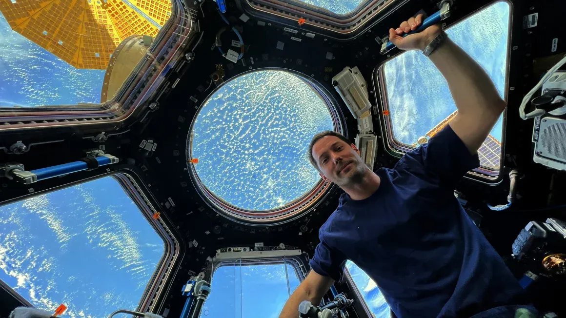
Astronaut Photography and Crew Earth Observations: Real-Time Disaster Monitoring from the ISS
Earth Observation from the station is divided into two distinct modes: the human-centric Crew Earth Observations (CEO) and a suite of sophisticated automated sensors. The presence of a crew provides a level of flexibility that robotic spacecraft lack. When a volcano erupts or a storm surge threatens a coastline, astronauts can immediately focus their handheld digital cameras on the event, providing real-time data for the International Disaster Charter.
Beyond emergency response, astronaut photography supports long-term research, such as tracking bird migration routes via the AMASS (Aviation Migration Aerial Surface Space) project, monitoring the retreat of alpine glaciers and mapping urban growth to aid urban planning. Studies even show that this "home-viewing" task significantly benefits the mental health of the crew.
Advanced Earth Observation Sensors on the ISS: EMIT, ECOSTRESS, and SAGE III Explained
Complementing these manual efforts are the station's exterior automated instruments, which provide continuous, high-precision data. These sensors, often hosted on platforms like the Multi-User System for Earth Sensing (MUSES), allow for robotic servicing and technological validation. Key instruments include the Earth Surface Mineral Dust Source Investigation (EMIT), which uses imaging spectroscopy to analyze how dust affects global heating.
Another critical sensor, ECOSTRESS, measures ground temperature to identify urban heat islands areas where high night-time temperatures pose health risks. Furthermore, the SAGE III instrument continues a decades-long legacy of monitoring the ozone layer and atmospheric aerosols, for instance following massive volcanic eruptions.

Nighttime Satellite Images of Warsaw and the Study of Light Pollution from Space
The technical superiority of the ISS is further enhanced by its position in Low Earth Orbit (LEO). Operating at an altitude of approximately 400 kilometers, it offers significantly better spatial resolution than many traditional systems. This was vividly demonstrated in 2015, when astronauts, at the request of the Space Research Centre of the Polish Academy of Sciences, captured detailed nighttime images of Warsaw.
Using professional DSLRs and telephoto lenses, they produced the most precise imagery of the city’s night lights to date. This data allowed researchers to analyze light pollution with unprecedented precision, identifying specific sources like shopping centers and studying their impact on the urban environment and public health.
Satelite Imagery Raports OnGeo Intelligence
For readers interested in practical applications of Earth observation and geospatial intelligence, the OnGeo Intelligence Report presents how satellite data and spatial analytics can support decision-making in environmental monitoring, urban planning, and risk assessment. The report
The report demonstrates how modern geospatial technologies transform raw Earth observation data into actionable insights for researchers, policymakers, and businesses.
Why the International Space Station Is a Key Hub for Global Environmental Monitoring
By serving as both a testbed for new sensor technologies and a platform for scientific observation, the ISS has revolutionized remote sensing. Whether it is tracking maritime traffic or monitoring the health of coral reefs, the station’s unique perspective ensures that we are not just watching Earth, but understanding the interconnected systems that sustain it. It remains a vital tool for international collaboration, proving that the view from above is our best guide for action on the ground.
Related articles
- How to Find Free Satellite Imagery: A List of Open Data Sources
- From Space to Shore: How Earth Observation Satellites Help Monitor Water Quality
- How to Download High-Resolution Satellite Images
- War in Sudan: How Satellite Imagery Reveals Hidden Atrocities
- Satellite Imagery vs Aerial Photography: Key Differences Explained
- What is GEOINT? The Power and Limits of Geospatial Intelligence in the Modern World