Blog

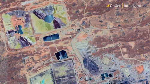
Mining Operations Monitoring via Satellite Imagery
2026-06-03
~ 6 min
(Article updated: 2026-06-03)
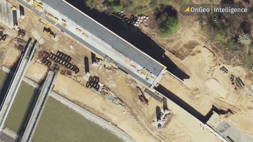
Satellite imagery enables efficient monitoring of mining operations by tracking site expansion, infrastructure changes, and environmental impacts. It supports compliance, risk management, and ESG reporting through consistent, large-scale observations. Modern platforms like OnGeo Intelligence turn satellite data into actionable insights, helping stakeholders improve transparency, efficiency, and responsible resource management.
Read more
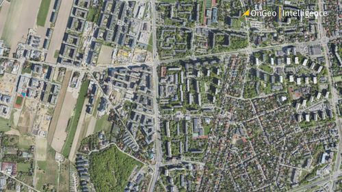
Urban Planning with High-Resolution Imagery
2026-05-21
~ 7 min
(Article updated: 2026-05-21)
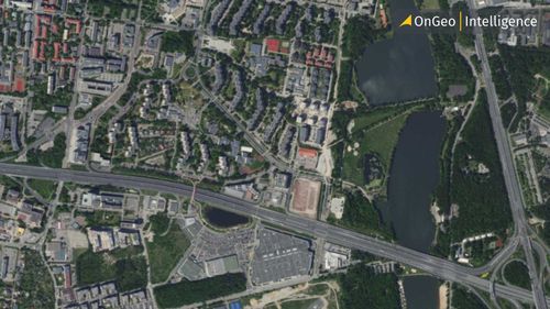
High-resolution satellite imagery helps urban planners monitor land use, track city growth, assess infrastructure, and support sustainable development. By analyzing current and historical satellite data, cities can improve zoning decisions, environmental monitoring, resilience planning, and long-term urban management.
Read more
How Satellite Earth Observation Is Powering the Future of Solar Energy
2025-09-17
~ 5 min
(Article updated: 2025-09-17)
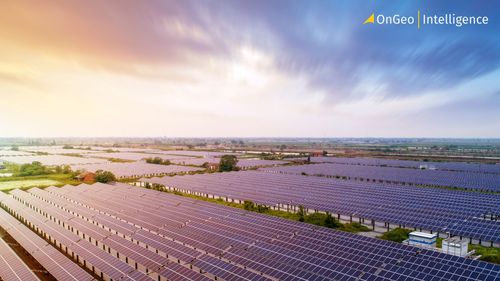
Satellite Earth Observation (EO) is revolutionizing solar energy by enhancing site selection, streamlining planning, and optimizing maintenance. High-resolution imagery and AI-driven analysis enable precise solar irradiance mapping, efficient infrastructure monitoring, and sustainable development, powering the future of clean energy with unmatched accuracy and scalability.
Read more
Detection of Illegal Construction in Satellite Images
2025-03-10
~ 7 min
(Article updated: 2025-03-10)
Satellite imagery is revolutionizing the detection of illegal construction. By combining high-resolution images with building registry data, tools like OnGeo Intelligence enable municipalities to identify unpermitted structures, recover lost tax revenue, and address safety hazards. Learn how this technology works and how you can use it to prove unauthorized building activities.
Read more
2025-02-14
~ 5 min
(Article updated: 2025-02-14)
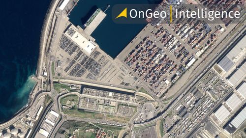
Satellite imagery reveals dynamic urban transformations, showcasing changes in infrastructure, green spaces, and city planning. By analyzing past and present images, we can track development, assess environmental impact, and understand how cities evolve over time
Read more