2025-08-06
~ 4 min
(Article updated: 2025-08-06)
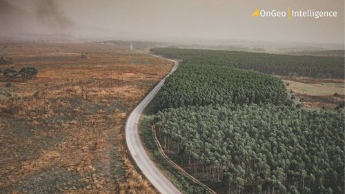
Earth observation from space is undergoing a revolution. Thanks to platforms like Planet and data from Sentinel-2 satellites, forest monitoring has become faster and more accurate than ever. This article explores how remote sensing has become a key tool in the fight against deforestation, from verifying supply chains under EUDR to uncovering the hidden scale of forest loss.
Read more