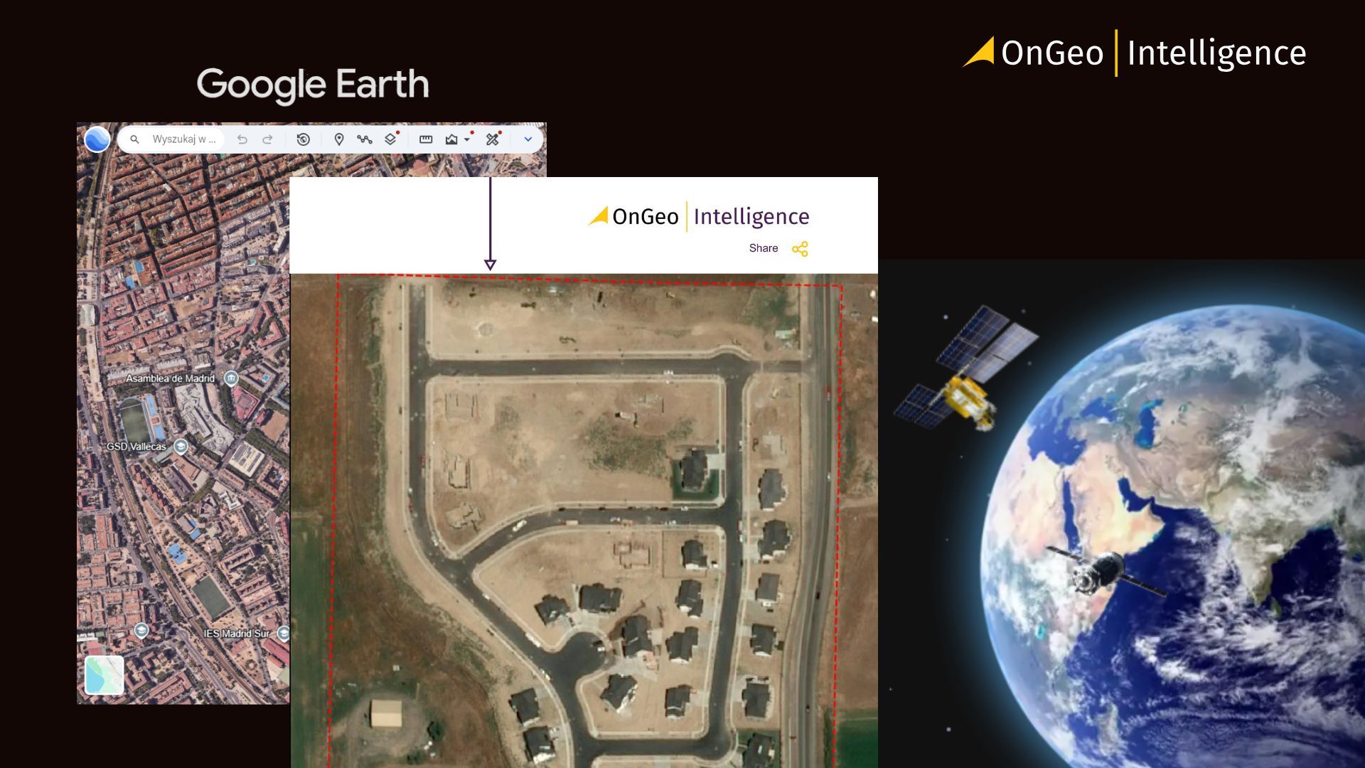
OnGeo Intelligence vs Google Earth: Feature Comparison
Satellite imagery platforms have made it easier than ever to explore and analyze the Earth’s surface. From tracking urban growth and monitoring environmental change to investigating infrastructure development, satellite data plays an increasingly important role across industries.
Two platforms that often come up in discussions about satellite imagery are OnGeo Intelligence and Google Earth. While both provide access to satellite-based views of the planet, they are designed with different purposes in mind and serve different types of users.

OnGeo Intelligence vs Google Earth: Feature Comparison
Google Earth is a global visualization platform designed for interactive exploration of satellite imagery, maps, terrain, and 3D cities. In contrast, OnGeo Intelligence provides location-specific satellite imagery, analytical reports, and environmental indicators for professional applications such as land monitoring, infrastructure assessment, and property analysis.
While both platforms use satellite imagery, they serve different purposes. Google Earth is best suited for visualization and geographic exploration, whereas OnGeo Intelligence focuses on structured geospatial analysis and data-driven decision-making.
Platform Purpose and Design
One of the main differences between OnGeo Intelligence and Google Earth lies in the purpose for which each platform was designed.
Google Earth was created primarily as a global visualization and exploration tool. Its interface allows users to navigate the planet in an interactive way, exploring cities, landscapes, and landmarks through satellite imagery, aerial photography, and 3D terrain models. The platform is widely used for education, geographic exploration, and general map viewing.
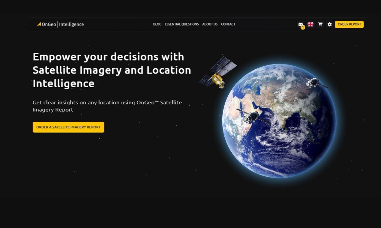
OnGeo Intelligence, on the other hand, focuses on satellite imagery access and analytical reporting. Instead of offering a continuous virtual globe, the platform allows users to request satellite imagery reports for specific locations and time periods. These reports compile relevant satellite images, environmental indicators, and supporting geospatial data into structured formats that can be used for monitoring and analysis.
This difference reflects two distinct approaches to satellite imagery. Google Earth emphasizes interactive exploration of global imagery, while OnGeo Intelligence is designed to provide targeted satellite data and reports that support professional analysis and documentation.
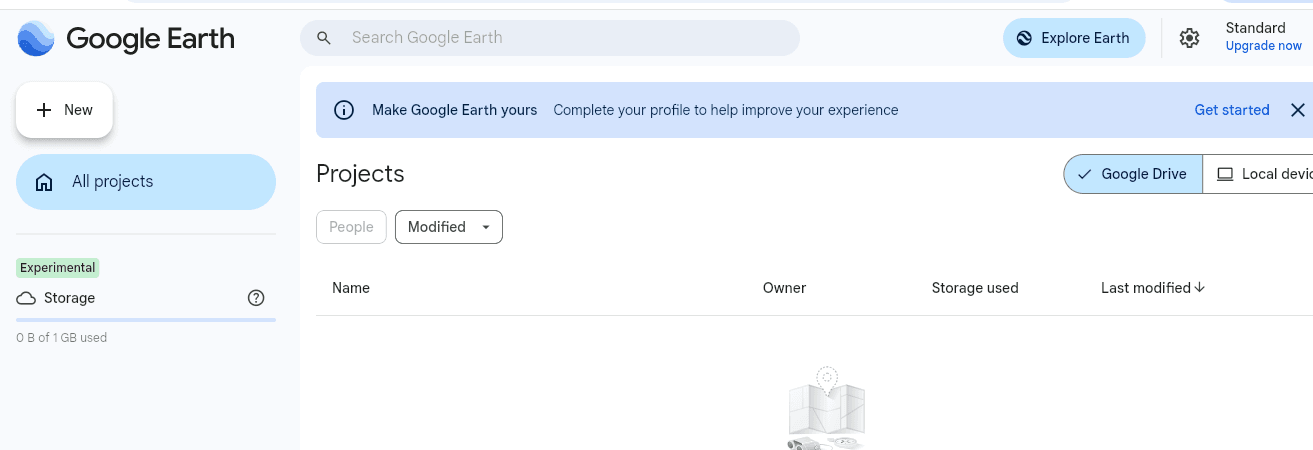
Image Resolution and Data Access
OnGeo Intelligence and Google Earth differ significantly in how they provide access to satellite imagery.
Google Earth offers a seamless global mosaic created from multiple imagery sources, making it ideal for exploration and visualization. However, users typically view processed map composites rather than original satellite scenes, with limited access to raw data or detailed acquisition metadata.
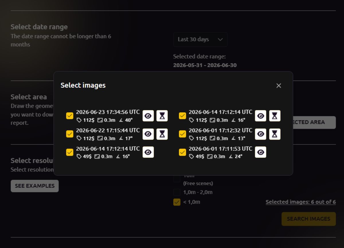
OnGeo Intelligence provides direct access to satellite imagery from commercial and public archives. Users can request scenes for a specific location and date range, enabling time-series analysis and monitoring of construction, environmental changes, or land use. Available imagery ranges from medium resolution (e.g., Sentinel-2) to very high-resolution commercial data.
Unlike Google Earth, which is primarily a visualization platform, OnGeo Intelligence delivers analytical insights through multispectral data. Reports can include vegetation (NDVI) and moisture (NDMI) indices derived from NIR and SWIR bands, supporting applications such as precision agriculture, environmental monitoring, and land assessment.
The platforms also differ in documentation. Google Earth is well suited for general reference, while OnGeo Intelligence generates georeferenced PDF reports with acquisition dates, resolution details, and supporting metadata. These reports provide verifiable documentation for insurance claims, property disputes, infrastructure monitoring, and other professional use cases.
Ease of Use and Accessibility
Google Earth is designed for intuitive exploration, allowing users to instantly browse the globe in 2D and 3D through an interactive interface.
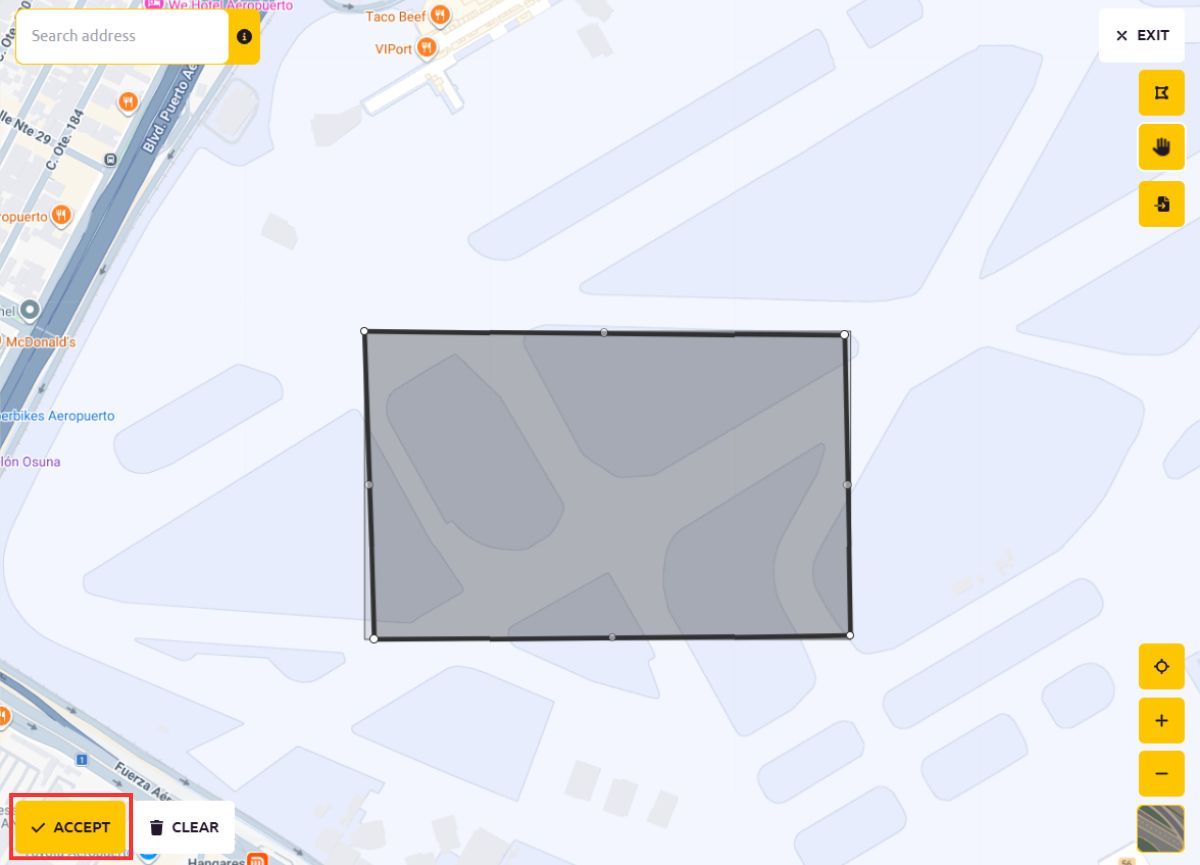
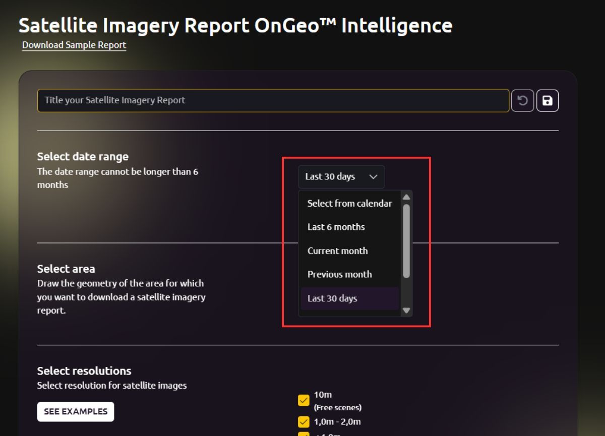
OnGeo Intelligence follows a task-oriented workflow. Users select a location and time period, and the platform compiles relevant satellite imagery into a structured, downloadable report. This simplifies access to location-specific data without requiring GIS expertise.
Overall, Google Earth is best suited for interactive exploration and visual context, whereas OnGeo Intelligence is designed for users who need accurate, date-specific imagery, analytical outputs, and professionally documented satellite reports.
Analytical Capabilities
When it comes to analysis, OnGeo Intelligence and Google Earth provide different levels of functionality depending on the user’s needs.
Google Earth includes several useful tools for visual interpretation. Users can measure distances and areas, view historical imagery for certain locations, and examine terrain in three dimensions. These features make it a helpful tool for basic spatial exploration and understanding geographic context.
OnGeo Intelligence, however, focuses more directly on structured satellite data analysis. The platform can provide chronological satellite imagery reports that allow users to track changes at a specific location over time.
These analytical features enable users to evaluate patterns such as land-use changes, environmental conditions, or infrastructure development across multiple time periods. Rather than simply viewing the Earth’s surface, the platform supports workflows that involve monitoring, documentation, and comparative analysis of satellite imagery.
Also read:
Typical Use Cases
Because OnGeo Intelligence and Google Earth are designed with different goals in mind, they are commonly used in different contexts.
Google Earth is widely used for general geographic exploration and visualization. Its intuitive interface and global imagery make it popular for educational purposes, travel planning, urban visualization, and basic geographic analysis. Students, educators, and researchers often use it to explore landscapes, examine terrain features, or view cities and landmarks in a virtual environment.
OnGeo Intelligence is typically used in professional monitoring and documentation workflows. Because the platform allows users to obtain location-specific satellite imagery reports, it is well suited for applications such as environmental monitoring, land-use analysis, infrastructure development tracking, and property or legal documentation.
Satellite Imagery Report for free! Code: ongeo100
Use the code ongeo100 to download a free OnGeo Intelligence Satellite Imagery Report with low-resolution images 10m, perfect for analyzing large areas this is your chance for free access to satellite data.
Final Thoughts
As satellite data becomes more accessible, platforms serve different user needs. Google Earth excels at interactive visualization and geographic exploration, while OnGeo Intelligence focuses on professional monitoring through date-specific imagery, analytical reports, and environmental indicators.
Together, these tools support a wide range of applications from understanding geographic context to monitoring change and enabling data-driven decision-making.
Related articles
- Satellite Imagery for Agriculture: Crop Monitoring Guide
- Construction Site Monitoring with Satellite Images
- How to Get Live Satellite Images: Real-Time Options
- Satellite Imagery: Definition and Applications in 2026
- Understanding Satellite Image Resolution: Low vs High Resolution
- What Is Satellite Imagery? A Complete Beginner’s Guide