Blog

CORONA Satellite Imagery: The Spy Satellites History
2025-02-18
~ 4 min
(Article updated: 2025-02-18)
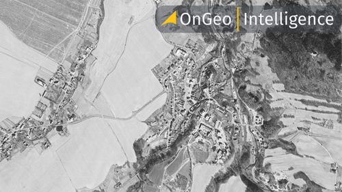
The CORONA program was the first successful reconnaissance satellite initiative, providing the U.S. with crucial intelligence during the Cold War. Utilizing film-return capsules and daring mid-air recoveries, it marked a pivotal advancement in espionage technology.
Read more

Persistent Change Monitoring
2025-01-16
~ 5 min
(Article updated: 2025-01-16)
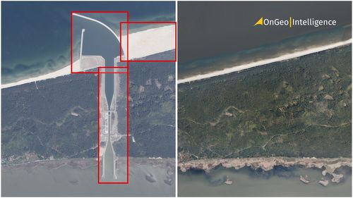
What is Persistent Change Monitoring (PCM)? Persistent Change Monitoring (PCM) is an innovative geospatial data tool developed by Maxar Technologies, designed to identify and visualize lasting changes on the Earth's surface. Unlike traditional methods that can be easily confused by seasonal fluctuations or natural variations,
Read more
Planet labs constellation
2025-01-14
~ 4 min
(Article updated: 2025-01-14)
Planet's Advanced Satellite Constellation: A Closer Look Planet Labs operates a sophisticated fleet of satellites that includes the Dove , SkySat and the next-generation Pelican constellations . The Dove satellites, also known as PlanetScope , form the backbone of their imaging capabilities. These compact satellites, each about the size of a shoebox, are designed to capture daily imagery of the Earth’s landmass with a resolution of 3–5 meters per pixel .
Read more
Maxar and Satellogic satellites collaborating to revolutionize geospatial intelligence for national security and global monitoring
2024-12-19
~ 3 min
(Article updated: 2024-12-19)
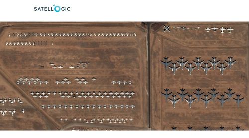
A Strategic Collaboration for Geospatial Intelligence On December 11, 2024, Maxar Intelligence, a global leader in high-resolution imaging and AI-powered geospatial solutions, announced a groundbreaking partnership with Satellogic, a company known for its innovative and cost-efficient Earth observation satellite constellation. This collaboration aims to address the increasing demand for timely, actionable insights in the geospatial intelligence market.
Read more
Sentinel-1C satellite
2024-12-19
~ 3 min
(Article updated: 2024-12-19)
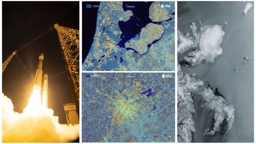
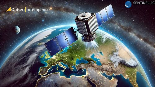
A Technological Leap: Sentinel-1C’s Advanced Capabilities Launched on December 5 , 2024 , aboard a Vega-C rocket from Europe's Spaceport in French Guiana , the Copernicus Sentinel-1C satellite wasted no time proving its capabilities. Equipped with a state-of-the-art C-band synthetic aperture radar (SAR) , it captured its first Earth images just 56 hours and 23 minutes after liftoff .
Read more
Airbus satellite imagery
2024-12-17
~ 4 min
(Article updated: 2024-12-17)
Airbus Advanced Satellite Imaging Technologies Airbus Defence and Space offers both optical imagery and radar imaging solutions tailored to meet diverse user needs. Below, we explore their key satellite systems and technologies: Optical Imagery: Precision and Detail Airbus Defence & Space provides a wide range of Earth Observation (#EO) imagery through both optical and radar technologies .
Read more
Sentinel 1C
2024-12-05
~ 3 min
(Article updated: 2024-12-05)
A New Era for Earth Observation with Sentinel-1C Sentinel-1C is the third satellite in the Sentinel-1 series , which began with Sentinel-1A in 2014. These satellites are equipped with state-of-the-art C-band Synthetic Aperture Radar (SAR) systems , enabling them to capture high-resolution images of Earth’s surface under any weather or lighting conditions. These features make Sentinel-1 indispensable for applications
Read more
WorldView Legion Imagery
2024-11-25
~ 4 min
(Article updated: 2024-11-29)
A new era of satellite imaging Currently, four of the six planned WorldView Legion satellites are operational. The first pair, launched in May 2024 , entered sun-synchronous orbits alongside Maxar’s existing satellites. These orbits ensure consistent daily imaging by circling Earth’s poles, a configuration ideal for capturing regular, detailed observations at fixed times each day. The second pair, launched in August 2024 , introduced a cutting-edge mid-inclination orbital strategy .
Read more
Maxar Technologies satellite imagery
2024-10-08
~ 4 min
(Article updated: 2024-11-28)
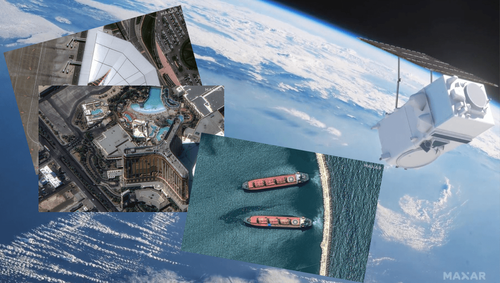
Maxar’s operational satellites Maxar operates a fleet of high-performance satellites that deliver imagery essential for intelligence, mapping, and monitoring applications worldwide. Here are the key operational satellites: WorldView-1 (Launched 2007) Capabilities : High-resolution panchromatic imagery Resolution: 50 cm panchromatic WorldView-2 (Launched 2009) Capabilities: High-resolution panchromatic and multispectral imagery Resolution: 46 cm panchromatic, 1.
Read more