2026-08-05
~ 7 min
(Article updated: 2026-08-05)
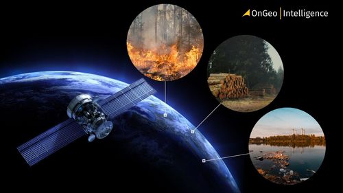
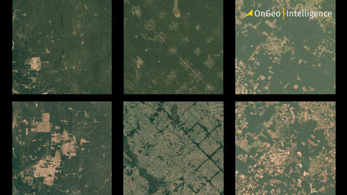
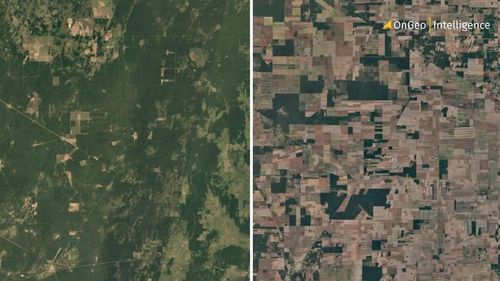
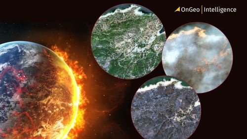
Destructive wildfires in Spain and France in July 2026 rank among Europe’s worst in decades. Satellite imagery, including Landsat 9 data and the OnGeo Intelligence platform, reveals the full scale of the damage and proves essential for tracking, assessing, and responding to such disasters.
Read more