2026-08-27
~ 5 min
(Article updated: 2026-08-27)
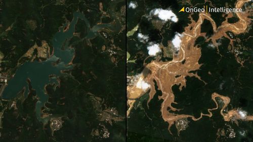
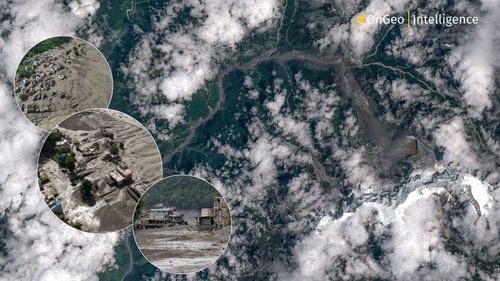
Satellite images reveal how a deadly glacial collapse triggered a devastating flash flood along the Nepal–Tibet border, destroying infrastructure and settlements. Before-and-after imagery helped scientists confirm the event’s origin and assess the scale of damage, highlighting the critical role of Earth observation in remote, high-altitude disaster zones.
Read more