2026-08-11
~ 6 min
(Article updated: 2026-08-11)
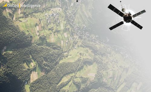
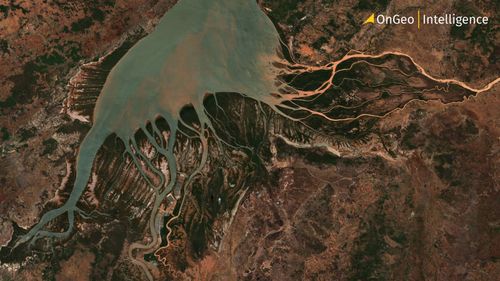
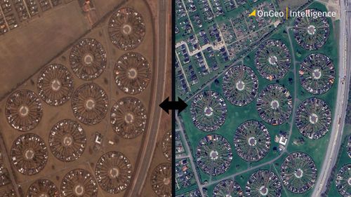
Why Historical Satellite Maps Are Valuable Satellite images captured years or even over a decade ago provide an objective, timestamped record of the Earth’s surface. Discover how to get a historical satellite map of your property, compare past and present imagery, and track changes to land, buildings, vegetation, and surrounding areas with OnGeo Intelligence.
Read more